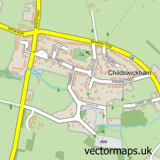
This Sedgeberrow street map is a detailed vector street map covering a 750m x 750m area. Select a larger area to create and download your own vector street map of Sedgeberrow.
The 750-metre map sample for Sedgeberrow covers 296 mapped buildings and approximately 19.3 km of road detail, of which 13 named roads are named. The immediate area includes 1 school. To create a larger or custom map of Sedgeberrow, the map builder lets you define your own coverage area and download editable SVG, PDF and PNG files.
Create a larger editable map of Sedgeberrow
Choose any area you need and generate a high-quality vector map instantly. Perfect for print, planning, design, business and personal use.

This Sedgeberrow street map in Worcestershire is available as downloadable SVG, PDF and PNG map files, or as a printed map for planning, business, display, education, local information and design work. You can also create a larger custom map area using the map selector.
What this Sedgeberrow map sample shows
Sedgeberrow lies within Sedgeberrow Cp parish, part of Elmley Castle And Somerville ward in the Wychavon District local authority area. The postcode geography for this area includes the WR postcode area, the WR11 postcode district and the WR11 7 postcode sector. Residents fall under the Nhs Herefordshire And Worcestershire Integrated Care Board for NHS services.
Local features near Sedgeberrow
Within 2 milesAmenities and services in and around Sedgeberrow.
Administrative and postcode information for Sedgeberrow
The local authority covering Sedgeberrow is Wychavon District, within the county of Worcestershire. The settlement lies within Elmley Castle And Somerville ward and Sedgeberrow Cp civil parish. The WR11 postcode district and WR11 7 postcode sector serve the immediate area. NHS provision in the area is delivered through Worcestershire Acute Hospitals Nhs Trust.
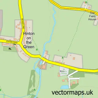
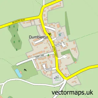
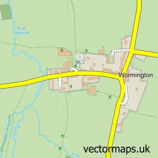
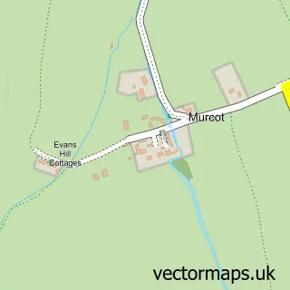
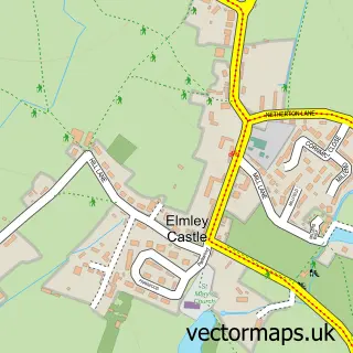
Nearby street map samples around Sedgeberrow

More street maps in Worcestershire
750 metre map area coverage
Boundary, postcode and point of interest information for the 750m x 750m rectangle centred on this sample map.
Boundaries containing map centre
Constituency: West Worcestershire Co Const
County: Worcestershire County
District: Wychavon District
Icb: NHS Herefordshire and Worcestershire ICB
Parish: Sedgeberrow CP
Police Force: west mercia
Postcode District: WR11
Postcode Sector: WR11 7
Ward: Broadway, Sedgeberrow & Childswickham Ward
Nearby boundaries intersecting sample
Parish: Hinton on the Green CP
Postcode coverage
POI category counts
Beauty Salon: 2
Driving School: 2
Gift Shop: 2
Accountant: 1
Anglican Church: 1
Dry Cleaning: 1
Elementary School: 1
Flowers And Gifts Shop: 1
Indian Restaurant: 1
Machine And Tool Rentals: 1
Sample points of interest
- KJW Accountancy Services
- St Mary the Virgin
- Beauty by Lindsey
- Lorraine Mason Beauty Therapy
- Agnelli Driver Training
- Shirley's Wheels
- Hard Pressed Ironing & Laundry Service
- Sedgeberrow C of E First School
- Sir Gordon Bennett
- Cotswold Jewellery
- Cotswold Jewellery
- Shukur's at the Queen's Head
Create a larger editable map of Sedgeberrow
This sample shows only a 750 metre area. To create a larger map of Sedgeberrow, use our map builder to choose your own coverage area, add titles and download editable SVG, PDF and PNG files.
Create a custom map of Sedgeberrow