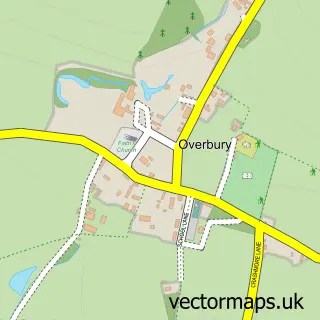
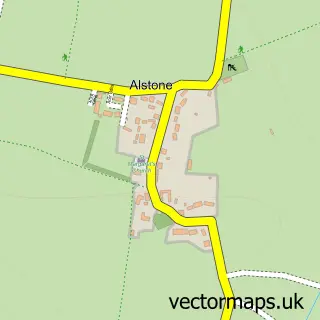
This Beckford street map is a detailed vector street map covering a 750m x 750m area. Select a larger area to create and download your own vector street map of Beckford.
The 750-metre map sample for Beckford covers 104 mapped buildings and approximately 23.0 km of road detail, of which 5 named roads are named. The immediate area includes 1 MOT station within 2 miles. The wider area around Beckford features 1 tourism point of interest and 1 food and drink venue. To create a larger or custom map of Beckford, the map builder lets you define your own coverage area and download editable SVG, PDF and PNG files.
Create a larger editable map of Beckford
Choose any area you need and generate a high-quality vector map instantly. Perfect for print, planning, design, business and personal use.

This Beckford street map in Worcestershire is available as downloadable SVG, PDF and PNG map files, or as a printed map for planning, business, display, education, local information and design work. You can also create a larger custom map area using the map selector.
What this Beckford map sample shows
Beckford lies within Beckford Cp parish, part of South Bredon Hill ward in the Wychavon District local authority area. The postcode geography for this area includes the GL postcode area, the GL20 postcode district and the GL20 7 postcode sector. Residents fall under the Nhs Herefordshire And Worcestershire Integrated Care Board for NHS services.
Local features near Beckford
Within 2 milesAmenities and services in and around Beckford.
Administrative and postcode information for Beckford
Beckford lies within Beckford Cp parish, part of South Bredon Hill ward in the Wychavon District local authority area. The postcode geography for this area includes the GL postcode area, the GL20 postcode district and the GL20 7 postcode sector. Residents fall under the Nhs Herefordshire And Worcestershire Integrated Care Board for NHS services.
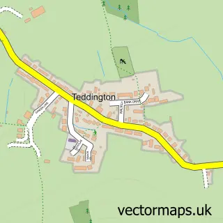
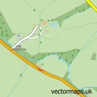
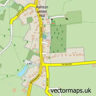
Nearby street map samples around Beckford

More street maps in Worcestershire
750 metre map area coverage
Boundary, postcode and point of interest information for the 750m x 750m rectangle centred on this sample map.
Boundaries containing map centre
Constituency: West Worcestershire Co Const
County: Worcestershire County
District: Wychavon District
Icb: NHS Herefordshire and Worcestershire ICB
Parish: Beckford CP
Police Force: west mercia
Postcode District: GL20
Postcode Sector: GL20 7
Ward: Bredon Hill Ward
Nearby boundaries intersecting sample
Parish: Conderton CP
Postcode coverage
POI category counts
Church Cathedral: 2
Post Office: 2
Anglican Church: 1
Bar: 1
Coffee Shop: 1
Cooking School: 1
It Service And Computer Repair: 1
Land Surveying: 1
Landmark And Historical Building: 1
Music Production: 1
Sample points of interest
- St John's Beckford
- The Pig Inn
- Beckford Open Village
- St John the Baptist Church
- The Old Post Office Shop Beckford
- Alice Through The Year
- Quintech Computer Systems
- AMP Construction Services
- Beckford Priory
- The Chicken Shed - Music Studio
- Beckford Nature Reserve
- Beckford Post Office
Create a larger editable map of Beckford
This sample shows only a 750 metre area. To create a larger map of Beckford, use our map builder to choose your own coverage area, add titles and download editable SVG, PDF and PNG files.
Create a custom map of Beckford