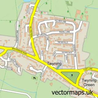
This Kemerton street map is a detailed vector street map covering a 750m x 750m area. Select a larger area to create and download your own vector street map of Kemerton.
The 750-metre map sample for Kemerton covers 150 mapped buildings and approximately 29.5 km of road detail, of which 8 named roads are named. The immediate area includes 1 GP surgery within 2 miles, 1 pub and 1 MOT station within 2 miles. The wider area around Kemerton features 2 food and drink venues. To create a larger or custom map of Kemerton, the map builder lets you define your own coverage area and download editable SVG, PDF and PNG files.
Create a larger editable map of Kemerton
Choose any area you need and generate a high-quality vector map instantly. Perfect for print, planning, design, business and personal use.

This Kemerton street map in Worcestershire is available as downloadable SVG, PDF and PNG map files, or as a printed map for planning, business, display, education, local information and design work. You can also create a larger custom map area using the map selector.
What this Kemerton map sample shows
Kemerton lies within Kemerton Cp parish, part of South Bredon Hill ward in the Wychavon District local authority area. The postcode geography for this area includes the GL postcode area, the GL20 postcode district and the GL20 7 postcode sector. Residents fall under the Nhs Herefordshire And Worcestershire Integrated Care Board for NHS services.
Local features near Kemerton
Within 2 milesAmenities and services in and around Kemerton.
Administrative and postcode information for Kemerton
Kemerton lies within Kemerton Cp parish, part of South Bredon Hill ward in the Wychavon District local authority area. The postcode geography for this area includes the GL postcode area, the GL20 postcode district and the GL20 7 postcode sector. Residents fall under the Nhs Herefordshire And Worcestershire Integrated Care Board for NHS services.
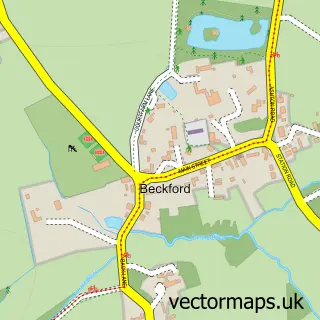
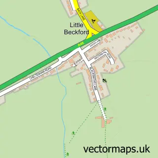
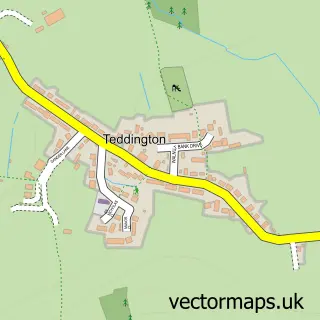
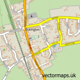
Nearby street map samples around Kemerton

More street maps in Worcestershire
750 metre map area coverage
Boundary, postcode and point of interest information for the 750m x 750m rectangle centred on this sample map.
Boundaries containing map centre
Constituency: West Worcestershire Co Const
County: Worcestershire County
District: Wychavon District
Icb: NHS Herefordshire and Worcestershire ICB
Parish: Kemerton CP
Police Force: west mercia
Postcode District: GL20
Postcode Sector: GL20 7
Ward: Bredon Ward
Nearby boundaries intersecting sample
Parish: Bredon CP
Postcode coverage
POI category counts
Alternative Medicine: 1
Bed And Breakfast: 1
Cafe: 1
Charity Organization: 1
Chiropractor: 1
Church Cathedral: 1
Image Consultant: 1
Korean Grocery Store: 1
Post Office: 1
Preschool: 1
Sample points of interest
- Positive Exchange at the Acupuncture Clinic
- Pepper Cottage
- Kemerton Coffee House
- Event Mobility
- Back on Track Chiropractic
- St Benets Church
- House of Colour Gloucestershire Sian Davies
- Post Office-Kemerton
- Kemerton Post Office
- Kemerton Early Years and Forest School
- The Crown Inn
Create a larger editable map of Kemerton
This sample shows only a 750 metre area. To create a larger map of Kemerton, use our map builder to choose your own coverage area, add titles and download editable SVG, PDF and PNG files.
Create a custom map of Kemerton