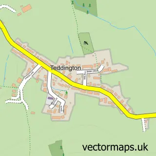
This Twyning street map is a detailed vector street map covering a 750m x 750m area. Select a larger area to create and download your own vector street map of Twyning.
The 750-metre map sample for Twyning covers 365 mapped buildings and approximately 35.9 km of road detail, of which 23 named roads are named. The immediate area includes 1 school, 1 GP surgery within 2 miles, 2 pubs and 3 MOT stations within 2 miles. The wider area around Twyning features 2 food and drink venues and 1 campsite within 2 miles. To create a larger or custom map of Twyning, the map builder lets you define your own coverage area and download editable SVG, PDF and PNG files.
Create a larger editable map of Twyning
Choose any area you need and generate a high-quality vector map instantly. Perfect for print, planning, design, business and personal use.

This Twyning street map in Gloucestershire is available as downloadable SVG, PDF and PNG map files, or as a printed map for planning, business, display, education, local information and design work. You can also create a larger custom map area using the map selector.
What this Twyning map sample shows
Twyning lies within Twyning Cp parish, part of Tewkesbury North & Twyning ward in the Tewkesbury District (B) local authority area. The postcode geography for this area includes the GL postcode area, the GL20 postcode district and the GL20 6 postcode sector. Residents fall under the Nhs Gloucestershire Integrated Care Board for NHS services.
Local features near Twyning
Within 2 milesAmenities and services in and around Twyning.
Administrative and postcode information for Twyning
The local authority covering Twyning is Tewkesbury District (B), within the county of Gloucestershire. The settlement lies within Tewkesbury North & Twyning ward and Twyning Cp civil parish. The GL20 postcode district and GL20 6 postcode sector serve the immediate area. NHS provision in the area is delivered through Gloucestershire Hospitals Nhs Foundation Trust.
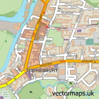
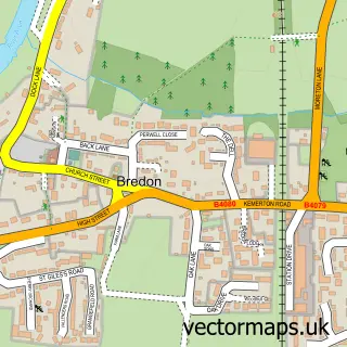
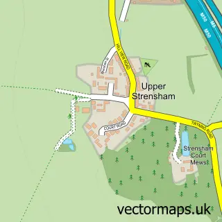
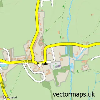
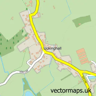
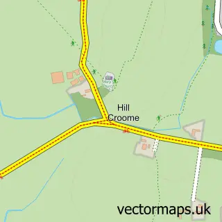
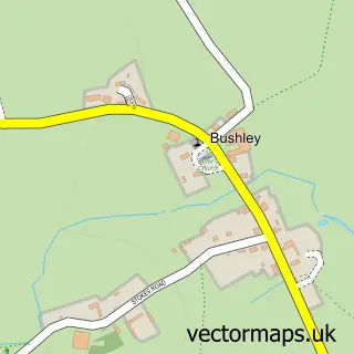
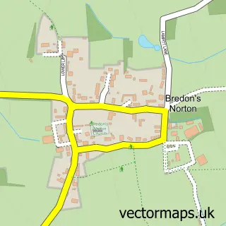
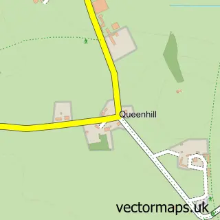
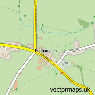
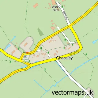
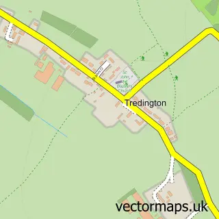
Nearby street map samples around Twyning

More street maps in Gloucestershire
750 metre map area coverage
Boundary, postcode and point of interest information for the 750m x 750m rectangle centred on this sample map.
Boundaries containing map centre
Constituency: Tewkesbury Co Const
County: Gloucestershire County
District: Tewkesbury District (B)
Icb: NHS Gloucestershire ICB
Parish: Twyning CP
Police Force: gloucestershire
Postcode District: GL20
Postcode Sector: GL20 6
Ward: Tewkesbury North & Twyning Ward
Nearby boundaries intersecting sample
No additional intersecting boundaries found.
Postcode coverage
POI category counts
Elementary School: 2
Professional Services: 2
Pub: 2
Retail: 2
Architectural Designer: 1
Building Contractor: 1
Carpenter: 1
Community Center: 1
Construction Services: 1
Convenience Store: 1
Sample points of interest
- Lewis Critchley Architects
- Twyning Recreation & Amenity Complex
- Jigsaw Joinery Solutions
- Twyning Village Hall
- Paul Harris Farm Building Services
- SPAR - Twyning
- Smart Beauty UK
- Evri ParcelShop
- EIS Midlands
- Twyning County Primary School
- Twyning School
- Gloss Fireaction
Create a larger editable map of Twyning
This sample shows only a 750 metre area. To create a larger map of Twyning, use our map builder to choose your own coverage area, add titles and download editable SVG, PDF and PNG files.
Create a custom map of Twyning