This Tewkesbury street map is a detailed vector street map covering a 750m x 750m area. Select a larger area to create and download your own vector street map of Tewkesbury.
The 750-metre map sample for Tewkesbury covers 341 mapped buildings and approximately 51.0 km of road detail, of which 45 named roads are named. The immediate area includes 1 school, 2 GP surgeries, 9 pubs and 1 MOT station, with 12 within 2 miles. The wider area around Tewkesbury features 6 tourism points of interest, 30 food and drink venues and 5 hotels. To create a larger or custom map of Tewkesbury, the map builder lets you define your own coverage area and download editable SVG, PDF and PNG files.
Create a larger editable map of Tewkesbury
Choose any area you need and generate a high-quality vector map instantly. Perfect for print, planning, design, business and personal use.

This Tewkesbury street map in Gloucestershire is available as downloadable SVG, PDF and PNG map files, or as a printed map for planning, business, display, education, local information and design work. You can also create a larger custom map area using the map selector.
What this Tewkesbury map sample shows
Tewkesbury lies within Tewkesbury Cp parish, part of Tewkesbury South ward in the Tewkesbury District (B) local authority area. The postcode geography for this area includes the GL postcode area, the GL20 postcode district and the GL20 5 postcode sector. Residents fall under the Nhs Gloucestershire Integrated Care Board for NHS services.
Local features near Tewkesbury
Within 2 milesAmenities and services in and around Tewkesbury.
Administrative and postcode information for Tewkesbury
Tewkesbury lies within Tewkesbury Cp parish, part of Tewkesbury South ward in the Tewkesbury District (B) local authority area. The postcode geography for this area includes the GL postcode area, the GL20 postcode district and the GL20 5 postcode sector. Residents fall under the Nhs Gloucestershire Integrated Care Board for NHS services.
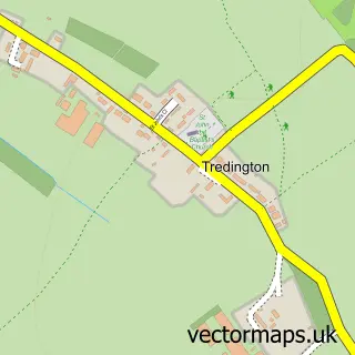
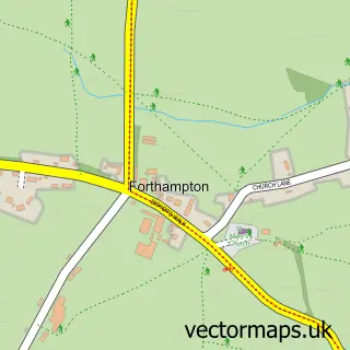
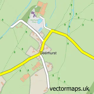
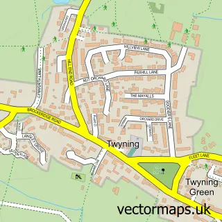
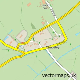
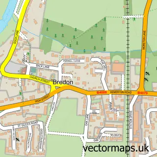
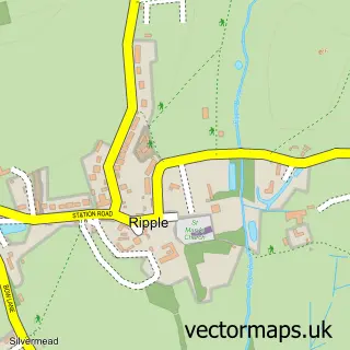
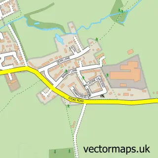
Nearby street map samples around Tewkesbury


More street maps in Gloucestershire
750 metre map area coverage
Boundary, postcode and point of interest information for the 750m x 750m rectangle centred on this sample map.
Boundaries containing map centre
Constituency: Tewkesbury Co Const
County: Gloucestershire County
District: Tewkesbury District (B)
Icb: NHS Gloucestershire ICB
Parish: Tewkesbury CP
Police Force: gloucestershire
Postcode District: GL20
Postcode Sector: GL20 5
Ward: Tewkesbury North & Twyning Ward
Nearby boundaries intersecting sample
Parish: Wheatpieces CP
Postcode Sector: GL20 6, GL20 7
Ward: Tewkesbury East Ward, Tewkesbury South Ward
Postcode coverage
POI category counts
Clothing Store: 13
Cafe: 11
Hair Salon: 11
Real Estate Agent: 10
Charity Organization: 9
Flowers And Gifts Shop: 9
Pub: 9
Beauty Salon: 7
Coffee Shop: 7
Indian Restaurant: 7
Sample points of interest
- Abbey Bookkeeping
- DOY Accountancy
- Holberton and Co
- Aquatots
- New Beginnings
- Tewkesbury Ambulance Station
- Holy Trinity Tewkesbury
- Acquisitions Antiques
- Guidepost Trust
- Hutchings Emporium
- Salvation Army
- Tewkesbury Antiques Centre
Create a larger editable map of Tewkesbury
This sample shows only a 750 metre area. To create a larger map of Tewkesbury, use our map builder to choose your own coverage area, add titles and download editable SVG, PDF and PNG files.
Create a custom map of Tewkesbury