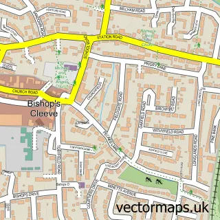
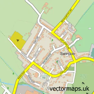
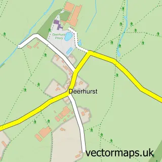
This Stoke Orchard street map is a detailed vector street map covering a 750m x 750m area. Select a larger area to create and download your own vector street map of Stoke Orchard.
The 750-metre map sample for Stoke Orchard covers 148 mapped buildings and approximately 19.7 km of road detail, of which 11 named roads are named. The immediate area includes 2 GP surgeries within 2 miles and 1 MOT station within 2 miles. To create a larger or custom map of Stoke Orchard, the map builder lets you define your own coverage area and download editable SVG, PDF and PNG files.
Create a larger editable map of Stoke Orchard
Choose any area you need and generate a high-quality vector map instantly. Perfect for print, planning, design, business and personal use.

This Stoke Orchard street map in Gloucestershire is available as downloadable SVG, PDF and PNG map files, or as a printed map for planning, business, display, education, local information and design work. You can also create a larger custom map area using the map selector.
What this Stoke Orchard map sample shows
Stoke Orchard lies within Stoke Orchard Cp parish, part of Severn Vale North ward in the Tewkesbury District (B) local authority area. The postcode geography for this area includes the GL postcode area, the GL52 postcode district and the GL52 7 postcode sector. Residents fall under the Nhs Gloucestershire Integrated Care Board for NHS services.
Local features near Stoke Orchard
Within 2 milesAmenities and services in and around Stoke Orchard.
Administrative and postcode information for Stoke Orchard
The local authority covering Stoke Orchard is Tewkesbury District (B), within the county of Gloucestershire. The settlement lies within Severn Vale North ward and Stoke Orchard Cp civil parish. The GL52 postcode district and GL52 7 postcode sector serve the immediate area. NHS provision in the area is delivered through Gloucestershire Hospitals Nhs Foundation Trust.
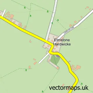
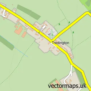
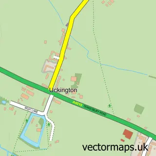
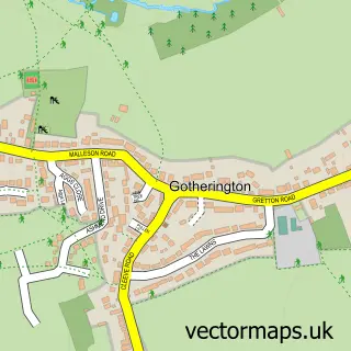
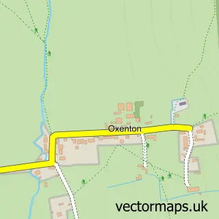
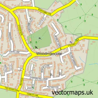
Nearby street map samples around Stoke Orchard

More street maps in Gloucestershire
750 metre map area coverage
Boundary, postcode and point of interest information for the 750m x 750m rectangle centred on this sample map.
Boundaries containing map centre
Constituency: Tewkesbury Co Const
County: Gloucestershire County
District: Tewkesbury District (B)
Icb: NHS Gloucestershire ICB
Parish: Stoke Orchard CP
Police Force: gloucestershire
Postcode District: GL52
Postcode Sector: GL52 7
Ward: Severn Vale North Ward
Nearby boundaries intersecting sample
No additional intersecting boundaries found.
Postcode coverage
POI category counts
Architectural Designer: 1
Driving School: 1
Farmers Market: 1
Financial Service: 1
Pet Boarding: 1
Veterinarian: 1
Sample points of interest
- Joanna James Ltd.
- Go Solo Driver Training
- Court Farm Shop
- Strictly Mortgages
- Waterloo Kennels
- Waterloo Cheltenham Dog Boarding
Create a larger editable map of Stoke Orchard
This sample shows only a 750 metre area. To create a larger map of Stoke Orchard, use our map builder to choose your own coverage area, add titles and download editable SVG, PDF and PNG files.
Create a custom map of Stoke Orchard