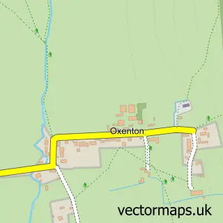
This Bishop's Cleeve street map is a detailed vector street map covering a 750m x 750m area. Select a larger area to create and download your own vector street map of Bishop's Cleeve.
The 750-metre map sample for Bishop's Cleeve covers 626 mapped buildings and approximately 57.0 km of road detail, of which 44 named roads are named. The immediate area includes 1 school, 2 GP surgeries within 2 miles, 7 pubs and 2 MOT stations within 2 miles. The wider area around Bishop's Cleeve features 1 tourism point of interest and 11 food and drink venues. To create a larger or custom map of Bishop's Cleeve, the map builder lets you define your own coverage area and download editable SVG, PDF and PNG files.
Create a larger editable map of Bishop's Cleeve
Choose any area you need and generate a high-quality vector map instantly. Perfect for print, planning, design, business and personal use.

This Bishop's Cleeve street map in Gloucestershire is available as downloadable SVG, PDF and PNG map files, or as a printed map for planning, business, display, education, local information and design work. You can also create a larger custom map area using the map selector.
What this Bishop's Cleeve map sample shows
Bishop's Cleeve lies within Bishop's Cleeve Cp parish, part of Cleeve West ward in the Tewkesbury District (B) local authority area. The postcode geography for this area includes the GL postcode area, the GL52 postcode district and the GL52 8 postcode sector. Residents fall under the Nhs Gloucestershire Integrated Care Board for NHS services.
Local features near Bishop's Cleeve
Within 2 milesAmenities and services in and around Bishop's Cleeve.
Administrative and postcode information for Bishop's Cleeve
The local authority covering Bishop's Cleeve is Tewkesbury District (B), within the county of Gloucestershire. The settlement lies within Cleeve West ward and Bishop's Cleeve Cp civil parish. The GL52 postcode district and GL52 8 postcode sector serve the immediate area. NHS provision in the area is delivered through Gloucestershire Hospitals Nhs Foundation Trust.
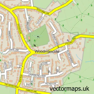
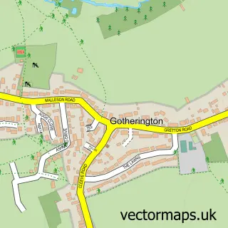
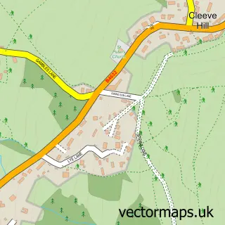
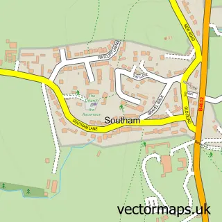
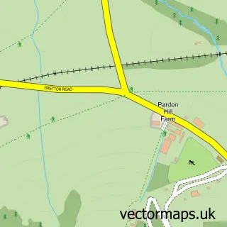
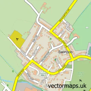
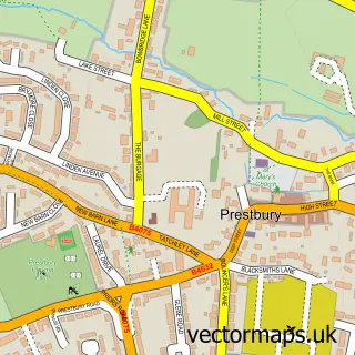
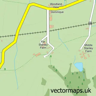
Nearby street map samples around Bishop's Cleeve

More street maps in Gloucestershire
750 metre map area coverage
Boundary, postcode and point of interest information for the 750m x 750m rectangle centred on this sample map.
Boundaries containing map centre
Constituency: Tewkesbury Co Const
County: Gloucestershire County
District: Tewkesbury District (B)
Icb: NHS Gloucestershire ICB
Parish: Bishop's Cleeve CP
Police Force: gloucestershire
Postcode District: GL52
Postcode Sector: GL52 8
Ward: Cleeve St. Michael's Ward
Nearby boundaries intersecting sample
Postcode Sector: GL52 9
Ward: Cleeve Grange Ward, Cleeve West Ward
Postcode coverage
POI category counts
Pub: 7
Professional Services: 5
Beauty Salon: 4
Gym: 4
Taxi Service: 4
Accountant: 3
Coffee Shop: 3
Dentist: 3
Banks: 2
Bookstore: 2
Sample points of interest
- ADM Accountancy Services
- ADM Accountancy Services
- MAB Accountancy Hub
- St Michael's Church
- Number.87 Home & Garden
- CPLC Associates Ltd
- P J Crook
- Little Artists of Cheltenham
- Cake & Sugarcraft Boutique
- Lloyds Bank
- Lloyds Bank
- NatWest
Create a larger editable map of Bishop's Cleeve
This sample shows only a 750 metre area. To create a larger map of Bishop's Cleeve, use our map builder to choose your own coverage area, add titles and download editable SVG, PDF and PNG files.
Create a custom map of Bishop's Cleeve