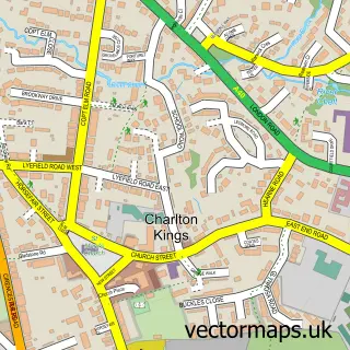
This Prestbury street map is a detailed vector street map covering a 750m x 750m area. Select a larger area to create and download your own vector street map of Prestbury.
The 750-metre map sample for Prestbury covers 370 mapped buildings and approximately 41.5 km of road detail, of which 27 named roads are named. The immediate area includes 10 GP surgeries within 2 miles, 5 pubs and 1 MOT station, with 16 within 2 miles. The wider area around Prestbury features 7 food and drink venues. To create a larger or custom map of Prestbury, the map builder lets you define your own coverage area and download editable SVG, PDF and PNG files.
Create a larger editable map of Prestbury
Choose any area you need and generate a high-quality vector map instantly. Perfect for print, planning, design, business and personal use.

This Prestbury street map in Gloucestershire is available as downloadable SVG, PDF and PNG map files, or as a printed map for planning, business, display, education, local information and design work. You can also create a larger custom map area using the map selector.
What this Prestbury map sample shows
Prestbury lies within Prestbury Cp parish, part of Prestbury ward in the Cheltenham District (B) local authority area. The postcode geography for this area includes the GL postcode area, the GL52 postcode district and the GL52 3 postcode sector. Residents fall under the Nhs Gloucestershire Integrated Care Board for NHS services.
Local features near Prestbury
Within 2 milesAmenities and services in and around Prestbury.
Administrative and postcode information for Prestbury
The local authority covering Prestbury is Cheltenham District (B), within the county of Gloucestershire. The settlement lies within Prestbury ward and Prestbury Cp civil parish. The GL52 postcode district and GL52 3 postcode sector serve the immediate area. NHS provision in the area is delivered through Gloucestershire Hospitals Nhs Foundation Trust.
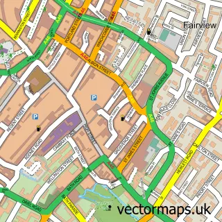
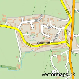
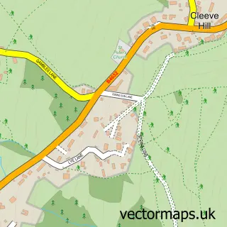
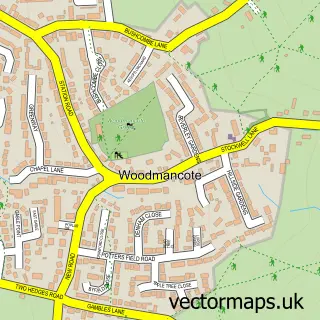
Nearby street map samples around Prestbury


More street maps in Gloucestershire
750 metre map area coverage
Boundary, postcode and point of interest information for the 750m x 750m rectangle centred on this sample map.
Boundaries containing map centre
Constituency: Tewkesbury Co Const
County: Gloucestershire County
District: Cheltenham District (B)
Icb: NHS Gloucestershire ICB
Parish: Prestbury CP
Police Force: gloucestershire
Postcode District: GL52
Postcode Sector: GL52 3
Ward: Prestbury Ward
Nearby boundaries intersecting sample
Constituency: Cheltenham Boro Const
Postcode Sector: GL52 5
Ward: Oakley Ward
Postcode coverage
POI category counts
Convenience Store: 5
Pub: 5
Professional Services: 4
Building Supply Store: 3
Gym: 3
Hair Salon: 3
Scout Hall: 3
Assisted Living Facility: 2
Beauty Salon: 2
Butcher Shop: 2
Sample points of interest
- Capel Court
- Prestbury House
- 4 Smart
- Domestic Bliss
- HSBC Bank
- Leigh's Hair For Men
- Doctor Kate Cosmetics
- Asha Lush Brows & Beauty
- Laura Hunt Beauty Therapy and Eyelash extensions
- The Prestbury House Hotel
- The Royal Oak
- Burnett Plumbing & Heating
Create a larger editable map of Prestbury
This sample shows only a 750 metre area. To create a larger map of Prestbury, use our map builder to choose your own coverage area, add titles and download editable SVG, PDF and PNG files.
Create a custom map of Prestbury