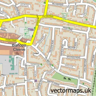
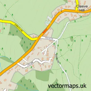
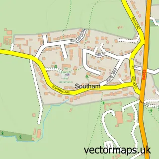
This Gotherington street map is a detailed vector street map covering a 750m x 750m area. Select a larger area to create and download your own vector street map of Gotherington.
The 750-metre map sample for Gotherington covers 213 mapped buildings and approximately 15.3 km of road detail, of which 10 named roads are named. The immediate area includes 1 school, 2 GP surgeries within 2 miles and 2 MOT stations within 2 miles. To create a larger or custom map of Gotherington, the map builder lets you define your own coverage area and download editable SVG, PDF and PNG files.
Create a larger editable map of Gotherington
Choose any area you need and generate a high-quality vector map instantly. Perfect for print, planning, design, business and personal use.

This Gotherington street map in Gloucestershire is available as downloadable SVG, PDF and PNG map files, or as a printed map for planning, business, display, education, local information and design work. You can also create a larger custom map area using the map selector.
What this Gotherington map sample shows
Gotherington lies within Gotherington Cp parish, part of Cleeve Hill ward in the Tewkesbury District (B) local authority area. The postcode geography for this area includes the GL postcode area, the GL52 postcode district and the GL52 9 postcode sector. Residents fall under the Nhs Gloucestershire Integrated Care Board for NHS services.
Local features near Gotherington
Within 2 milesAmenities and services in and around Gotherington.
Administrative and postcode information for Gotherington
Gotherington lies within Gotherington Cp parish, part of Cleeve Hill ward in the Tewkesbury District (B) local authority area. The postcode geography for this area includes the GL postcode area, the GL52 postcode district and the GL52 9 postcode sector. Residents fall under the Nhs Gloucestershire Integrated Care Board for NHS services.
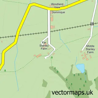
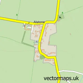
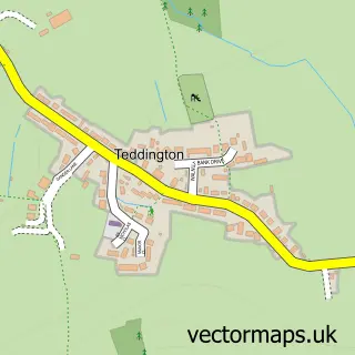
Nearby street map samples around Gotherington

More street maps in Gloucestershire
750 metre map area coverage
Boundary, postcode and point of interest information for the 750m x 750m rectangle centred on this sample map.
Boundaries containing map centre
Constituency: Tewkesbury Co Const
County: Gloucestershire County
District: Tewkesbury District (B)
Icb: NHS Gloucestershire ICB
Parish: Gotherington CP
Police Force: gloucestershire
Postcode District: GL52
Postcode Sector: GL52 9
Ward: Cleeve Hill Ward
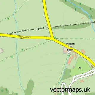
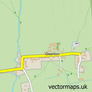
Nearby boundaries intersecting sample
Parish: Oxenton CP
Ward: Isbourne Ward
Postcode coverage
POI category counts
Convenience Store: 2
Scout Hall: 2
Shipping Center: 2
Accommodation: 1
Building Supply Store: 1
Choir: 1
Currency Exchange: 1
Elementary School: 1
Gents Tailor: 1
Grocery Store: 1
Sample points of interest
- Gotherington Village
- Greensleeves Lawn Care Gloucestershire
- Gotherington Singers
- Madeline’s
- One Stop Gotherington Stores
- Post Office Travel Money
- Gotherington Primary School
- Denise Milsom Designer Dressmaker
- Gotherington Stores
- The Old Chapel - Gotherington
- La Jolie Ronde Languages for Children
- Heritage Wills
Create a larger editable map of Gotherington
This sample shows only a 750 metre area. To create a larger map of Gotherington, use our map builder to choose your own coverage area, add titles and download editable SVG, PDF and PNG files.
Create a custom map of Gotherington