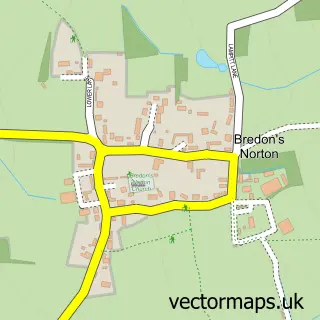
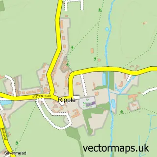
This Bredon street map is a detailed vector street map covering a 750m x 750m area. Select a larger area to create and download your own vector street map of Bredon.
The 750-metre map sample for Bredon covers 349 mapped buildings and approximately 34.3 km of road detail, of which 24 named roads are named. The immediate area includes 1 school, 1 GP surgery within 2 miles, 2 pubs and 1 MOT station, with 2 within 2 miles. The wider area around Bredon features 1 tourism point of interest, 2 food and drink venues and 1 hotel. To create a larger or custom map of Bredon, the map builder lets you define your own coverage area and download editable SVG, PDF and PNG files.
Create a larger editable map of Bredon
Choose any area you need and generate a high-quality vector map instantly. Perfect for print, planning, design, business and personal use.

This Bredon street map in Worcestershire is available as downloadable SVG, PDF and PNG map files, or as a printed map for planning, business, display, education, local information and design work. You can also create a larger custom map area using the map selector.
What this Bredon map sample shows
Bredon lies within Bredon Cp parish, part of Bredon ward in the Wychavon District local authority area. The postcode geography for this area includes the GL postcode area, the GL20 postcode district and the GL20 7 postcode sector. Residents fall under the Nhs Herefordshire And Worcestershire Integrated Care Board for NHS services.
Local features near Bredon
Within 2 milesAmenities and services in and around Bredon.
Administrative and postcode information for Bredon
The local authority covering Bredon is Wychavon District, within the county of Worcestershire. The settlement lies within Bredon ward and Bredon Cp civil parish. The GL20 postcode district and GL20 7 postcode sector serve the immediate area. NHS provision in the area is delivered through Gloucestershire Hospitals Nhs Foundation Trust.
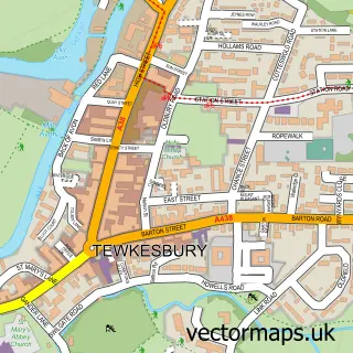
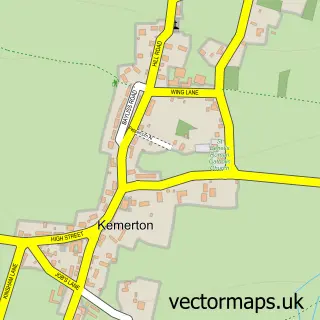
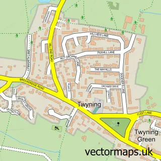
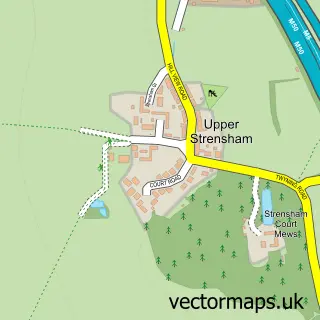
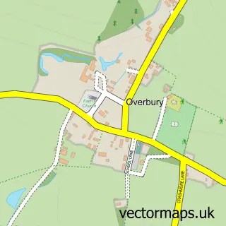
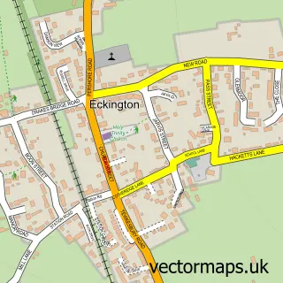
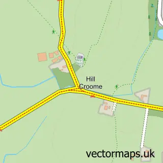
Nearby street map samples around Bredon

More street maps in Worcestershire
750 metre map area coverage
Boundary, postcode and point of interest information for the 750m x 750m rectangle centred on this sample map.
Boundaries containing map centre
Constituency: West Worcestershire Co Const
County: Worcestershire County
District: Wychavon District
Icb: NHS Herefordshire and Worcestershire ICB
Parish: Bredon CP
Police Force: west mercia
Postcode District: GL20
Postcode Sector: GL20 7
Ward: Bredon Ward
Nearby boundaries intersecting sample
Constituency: Tewkesbury Co Const
County: Gloucestershire County
District: Tewkesbury District (B)
Parish: Twyning CP
Police Force: gloucestershire
Postcode District: WR8
Postcode Sector: WR8 9
Ward: Tewkesbury North & Twyning Ward
Postcode coverage
POI category counts
Automotive Repair: 3
Advertising Agency: 2
Post Office: 2
Pub: 2
Appliance Manufacturer: 1
Beauty Salon: 1
Building Supply Store: 1
Business Advertising: 1
Child Care And Day Care: 1
Convenience Store: 1
Sample points of interest
- DOR-2-DOR
- Springboard Graphics
- Bredon Pottery
- Mirror Image Custom Paint & Body Shop
- Mirror Image Custom Paint & Bodyshop
- Total Automotives Bredon
- Cotswold Beauty Station
- Stanway Screens
- Local Advertiser Ltd
- Bredon Playgroup
- SPAR
- Atlantic Coast Studios
Create a larger editable map of Bredon
This sample shows only a 750 metre area. To create a larger map of Bredon, use our map builder to choose your own coverage area, add titles and download editable SVG, PDF and PNG files.
Create a custom map of Bredon