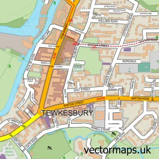
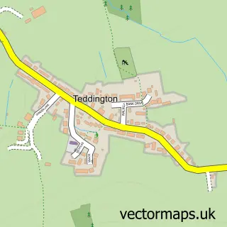
This Overbury street map is a detailed vector street map covering a 750m x 750m area. Select a larger area to create and download your own vector street map of Overbury.
The 750-metre map sample for Overbury covers 83 mapped buildings and approximately 21.2 km of road detail, of which 2 named roads are named. The immediate area includes 1 school, 1 GP surgery within 2 miles and 2 MOT stations within 2 miles. To create a larger or custom map of Overbury, the map builder lets you define your own coverage area and download editable SVG, PDF and PNG files.
Create a larger editable map of Overbury
Choose any area you need and generate a high-quality vector map instantly. Perfect for print, planning, design, business and personal use.

This Overbury street map in Worcestershire is available as downloadable SVG, PDF and PNG map files, or as a printed map for planning, business, display, education, local information and design work. You can also create a larger custom map area using the map selector.
What this Overbury map sample shows
Overbury lies within Overbury Cp parish, part of South Bredon Hill ward in the Wychavon District local authority area. The postcode geography for this area includes the GL postcode area, the GL20 postcode district and the GL20 7 postcode sector. Residents fall under the Nhs Herefordshire And Worcestershire Integrated Care Board for NHS services.
Local features near Overbury
Within 2 milesAmenities and services in and around Overbury.
Administrative and postcode information for Overbury
The local authority covering Overbury is Wychavon District, within the county of Worcestershire. The settlement lies within South Bredon Hill ward and Overbury Cp civil parish. The GL20 postcode district and GL20 7 postcode sector serve the immediate area. NHS provision in the area is delivered through Gloucestershire Hospitals Nhs Foundation Trust.
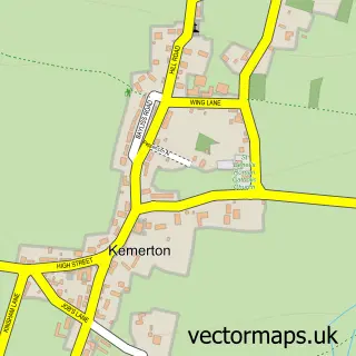
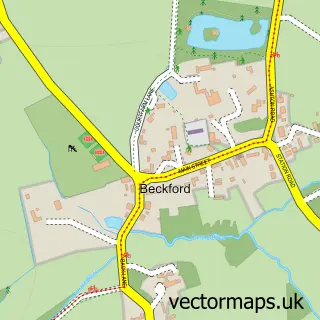
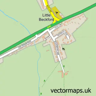
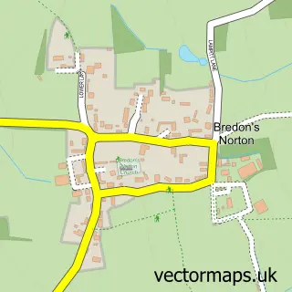
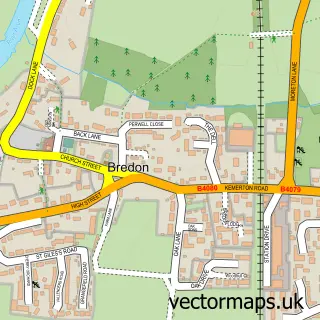
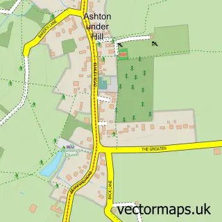
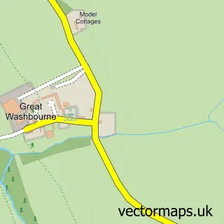
Nearby street map samples around Overbury

More street maps in Worcestershire
750 metre map area coverage
Boundary, postcode and point of interest information for the 750m x 750m rectangle centred on this sample map.
Boundaries containing map centre
Constituency: West Worcestershire Co Const
County: Worcestershire County
District: Wychavon District
Icb: NHS Herefordshire and Worcestershire ICB
Parish: Overbury CP
Police Force: west mercia
Postcode District: GL20
Postcode Sector: GL20 7
Ward: Bredon Hill Ward
Nearby boundaries intersecting sample
Parish: Kemerton CP
Ward: Bredon Ward
Postcode coverage
POI category counts
Professional Services: 3
Commercial Printer: 2
Sports Club And League: 2
Accountant: 1
Anglican Church: 1
Art Gallery: 1
Business Management Services: 1
Charity Organization: 1
Community Center: 1
Computer Store: 1
Sample points of interest
- Arubus Chartered Accountants
- St Faith
- Alexandra Churchill Studio
- The Moonlighting Group
- Raise.
- Care Home Label Company
- The Name Label Company
- Overbury Village Hall
- Reference Point Computers
- StrongByte Electronics
- Overbury First School
- Bredon Hill Cleaning Services LTD
Create a larger editable map of Overbury
This sample shows only a 750 metre area. To create a larger map of Overbury, use our map builder to choose your own coverage area, add titles and download editable SVG, PDF and PNG files.
Create a custom map of Overbury