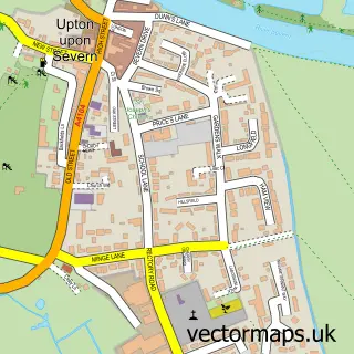
This Upper Strensham street map is a detailed vector street map covering a 750m x 750m area. Select a larger area to create and download your own vector street map of Upper Strensham.
The 750-metre map sample for Upper Strensham covers 74 mapped buildings and approximately 25.9 km of road detail, of which 5 named roads are named. To create a larger or custom map of Upper Strensham, the map builder lets you define your own coverage area and download editable SVG, PDF and PNG files.
Create a larger editable map of Upper Strensham
Choose any area you need and generate a high-quality vector map instantly. Perfect for print, planning, design, business and personal use.

This Upper Strensham street map in Worcestershire is available as downloadable SVG, PDF and PNG map files, or as a printed map for planning, business, display, education, local information and design work. You can also create a larger custom map area using the map selector.
What this Upper Strensham map sample shows
Upper Strensham lies within Strensham Cp parish, part of Eckington ward in the Wychavon District local authority area. The postcode geography for this area includes the WR postcode area, the WR8 postcode district and the WR8 9 postcode sector. Residents fall under the Nhs Herefordshire And Worcestershire Integrated Care Board for NHS services.
Local features near Upper Strensham
Within 2 milesAmenities and services in and around Upper Strensham.
Administrative and postcode information for Upper Strensham
Upper Strensham lies within Strensham Cp parish, part of Eckington ward in the Wychavon District local authority area. The postcode geography for this area includes the WR postcode area, the WR8 postcode district and the WR8 9 postcode sector. Residents fall under the Nhs Herefordshire And Worcestershire Integrated Care Board for NHS services.
Nearby street map samples around Upper Strensham

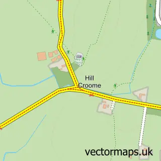
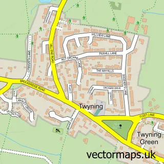
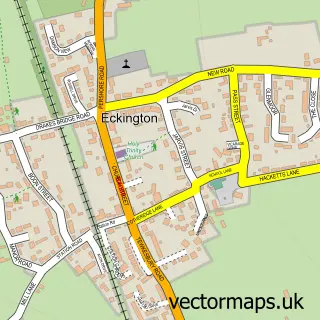
More street maps in Worcestershire
750 metre map area coverage
Boundary, postcode and point of interest information for the 750m x 750m rectangle centred on this sample map.
Boundaries containing map centre
Constituency: West Worcestershire Co Const
County: Worcestershire County
District: Wychavon District
Icb: NHS Herefordshire and Worcestershire ICB
Parish: Strensham CP
Police Force: west mercia
Postcode District: WR8
Postcode Sector: WR8 9
Ward: Eckington Ward
Nearby boundaries intersecting sample
No additional intersecting boundaries found.
Postcode coverage
POI category counts
Fitness Trainer: 2
Gas Station: 2
Atms: 1
Builders: 1
Clothing Store: 1
Construction Services: 1
Land Surveying: 1
Pet Groomer: 1
Town Hall: 1
Sample points of interest
- BP - Strensham MWSA Connect
- County Basements Ltd.
- Cotton Traders
- County Basements Ltd
- KP Personal Training
- Kelly Payne Personal Training
- BP
- Roadchef Strensham M5 Southbound
- Cotswold Surveys
- Pawfection Grooming
- Strensham Village Hall
Create a larger editable map of Upper Strensham
This sample shows only a 750 metre area. To create a larger map of Upper Strensham, use our map builder to choose your own coverage area, add titles and download editable SVG, PDF and PNG files.
Create a custom map of Upper Strensham