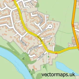
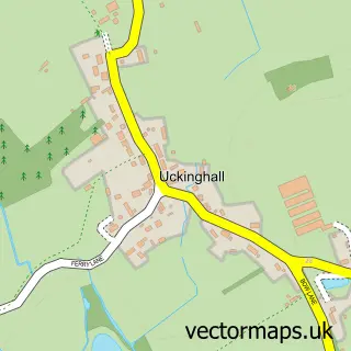
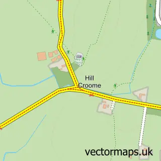
This Upton-upon-Severn street map is a detailed vector street map covering a 750m x 750m area. Select a larger area to create and download your own vector street map of Upton-upon-Severn.
The 750-metre map sample for Upton-upon-Severn covers 339 mapped buildings and approximately 40.2 km of road detail, of which 29 named roads are named. The immediate area includes 1 school, 1 GP surgery within 2 miles, 4 pubs and 2 MOT stations, with 4 within 2 miles. The wider area around Upton-upon-Severn features 5 tourism points of interest, 11 food and drink venues and 1 hotel. To create a larger or custom map of Upton-upon-Severn, the map builder lets you define your own coverage area and download editable SVG, PDF and PNG files.
Create a larger editable map of Upton-upon-Severn
Choose any area you need and generate a high-quality vector map instantly. Perfect for print, planning, design, business and personal use.

This Upton-upon-Severn street map in Worcestershire is available as downloadable SVG, PDF and PNG map files, or as a printed map for planning, business, display, education, local information and design work. You can also create a larger custom map area using the map selector.
What this Upton-upon-Severn map sample shows
Upton-upon-Severn lies within Upton-Upon-Severn Cp parish, part of Upton And Hanley ward in the Malvern Hills District local authority area. The postcode geography for this area includes the WR postcode area, the WR8 postcode district and the WR8 0 postcode sector. Residents fall under the Nhs Herefordshire And Worcestershire Integrated Care Board for NHS services.
Local features near Upton-upon-Severn
Within 2 milesAmenities and services in and around Upton-upon-Severn.
Administrative and postcode information for Upton-upon-Severn
Upton-upon-Severn lies within Upton-Upon-Severn Cp parish, part of Upton And Hanley ward in the Malvern Hills District local authority area. The postcode geography for this area includes the WR postcode area, the WR8 postcode district and the WR8 0 postcode sector. Residents fall under the Nhs Herefordshire And Worcestershire Integrated Care Board for NHS services.
Nearby street map samples around Upton-upon-Severn

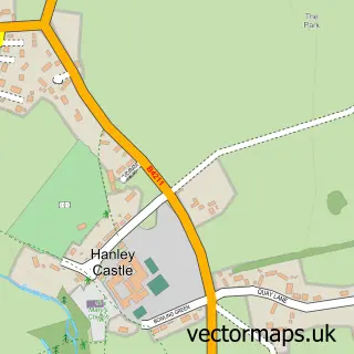
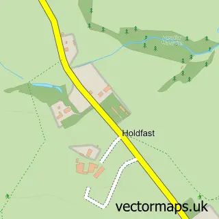
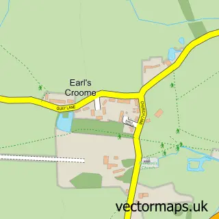
More street maps in Worcestershire
750 metre map area coverage
Boundary, postcode and point of interest information for the 750m x 750m rectangle centred on this sample map.
Boundaries containing map centre
Constituency: West Worcestershire Co Const
County: Worcestershire County
District: Malvern Hills District
Icb: NHS Herefordshire and Worcestershire ICB
Parish: Upton-upon-Severn CP
Police Force: west mercia
Postcode District: WR8
Postcode Sector: WR8 0
Ward: Upton & Ripple Ward
Nearby boundaries intersecting sample
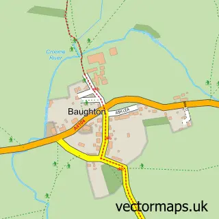
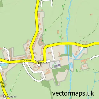
Parish: Ripple CP
Postcode coverage
POI category counts
Hair Salon: 5
Indian Restaurant: 5
Beauty And Spa: 4
Cafe: 4
Flowers And Gifts Shop: 4
Pub: 4
Antique Store: 3
Bar: 3
Bed And Breakfast: 3
Church Cathedral: 3
Sample points of interest
- Kate Price & Co
- Upton Parish Church (St Peter and St Paul's)
- RSPCA
- RSPCA
- Bits and Bobs
- Croome Antiques
- Minnies Vintage
- The Cooperative Food Upton-upon-Severn, Upton-upon-Severn
- D-MAC Alternative Spare Parts Ltd
- Shipps Garage
- Shipps Garage
- Edina
Create a larger editable map of Upton-upon-Severn
This sample shows only a 750 metre area. To create a larger map of Upton-upon-Severn, use our map builder to choose your own coverage area, add titles and download editable SVG, PDF and PNG files.
Create a custom map of Upton-upon-Severn