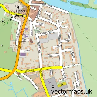
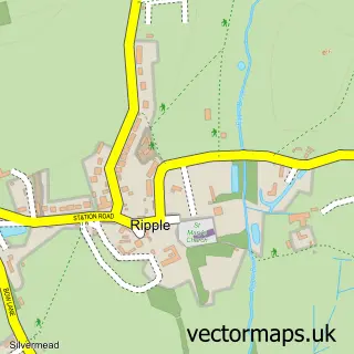
This Ryall street map is a detailed vector street map covering a 750m x 750m area. Select a larger area to create and download your own vector street map of Ryall.
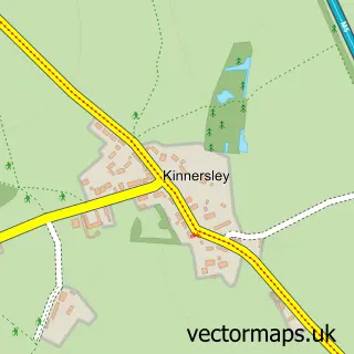
The 750-metre map sample for Ryall covers 315 mapped buildings and approximately 31.5 km of road detail, of which 10 named roads are named. The immediate area includes 1 GP surgery within 2 miles, 1 pub and 4 MOT stations within 2 miles. The wider area around Ryall features 1 tourism point of interest and 1 food and drink venue. To create a larger or custom map of Ryall, the map builder lets you define your own coverage area and download editable SVG, PDF and PNG files.
Create a larger editable map of Ryall
Choose any area you need and generate a high-quality vector map instantly. Perfect for print, planning, design, business and personal use.

This Ryall street map in Worcestershire is available as downloadable SVG, PDF and PNG map files, or as a printed map for planning, business, display, education, local information and design work. You can also create a larger custom map area using the map selector.
What this Ryall map sample shows
Ryall lies within Ripple Cp parish, part of Ripple ward in the Malvern Hills District local authority area. The postcode geography for this area includes the WR postcode area, the WR8 postcode district and the WR8 0 postcode sector. Residents fall under the Nhs Herefordshire And Worcestershire Integrated Care Board for NHS services.
Local features near Ryall
Within 2 milesAmenities and services in and around Ryall.
Administrative and postcode information for Ryall
Ryall lies within Ripple Cp parish, part of Ripple ward in the Malvern Hills District local authority area. The postcode geography for this area includes the WR postcode area, the WR8 postcode district and the WR8 0 postcode sector. Residents fall under the Nhs Herefordshire And Worcestershire Integrated Care Board for NHS services.
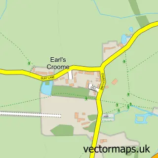
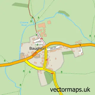
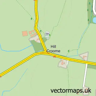
Nearby street map samples around Ryall

More street maps in Worcestershire
750 metre map area coverage
Boundary, postcode and point of interest information for the 750m x 750m rectangle centred on this sample map.
Boundaries containing map centre
Constituency: West Worcestershire Co Const
County: Worcestershire County
District: Malvern Hills District
Icb: NHS Herefordshire and Worcestershire ICB
Parish: Ripple CP
Police Force: west mercia
Postcode District: WR8
Postcode Sector: WR8 0
Ward: Upton & Ripple Ward
Nearby boundaries intersecting sample
Parish: Earl's Croome CP, Upton-upon-Severn CP
Postcode coverage
POI category counts
Assisted Living Facility: 2
Automotive Repair: 1
Building Supply Store: 1
Fashion Accessories Store: 1
Flooring Contractors: 1
Italian Restaurant: 1
Park: 1
Parking: 1
Pub: 1
Sample points of interest
- Beechwood Residential Care
- Beechwood Sanctuary Care
- Upton Car Craft
- CM Dawe
- Lani Leather Craft
- Clean & Dry
- ASK Italian
- Ryall Park
- Grove House Garage
- The Blue Bell
Create a larger editable map of Ryall
This sample shows only a 750 metre area. To create a larger map of Ryall, use our map builder to choose your own coverage area, add titles and download editable SVG, PDF and PNG files.
Create a custom map of Ryall