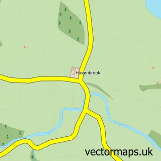
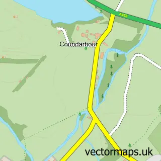
This Cross Houses street map is a detailed vector street map covering a 750m x 750m area. Select a larger area to create and download your own vector street map of Cross Houses.
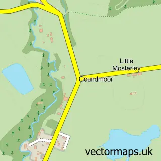
The 750-metre map sample for Cross Houses covers 224 mapped buildings and approximately 12.0 km of road detail, of which 6 named roads are named. The immediate area includes 1 pub. The wider area around Cross Houses features 1 tourism point of interest, 1 food and drink venue and 1 campsite within 2 miles. To create a larger or custom map of Cross Houses, the map builder lets you define your own coverage area and download editable SVG, PDF and PNG files.
Create a larger editable map of Cross Houses
Choose any area you need and generate a high-quality vector map instantly. Perfect for print, planning, design, business and personal use.

This Cross Houses street map in Shropshire is available as downloadable SVG, PDF and PNG map files, or as a printed map for planning, business, display, education, local information and design work. You can also create a larger custom map area using the map selector.
What this Cross Houses map sample shows
Cross Houses lies within Berrington Cp parish, part of Severn Valley ward in the Shropshire local authority area. The postcode geography for this area includes the SY postcode area, the SY5 postcode district and the SY5 6 postcode sector. Residents fall under the Nhs Shropshire, Telford And Wrekin Integrated Care Board for NHS services.
Local features near Cross Houses
Within 2 milesAmenities and services in and around Cross Houses.
Administrative and postcode information for Cross Houses
Cross Houses lies within Berrington Cp parish, part of Severn Valley ward in the Shropshire local authority area. The postcode geography for this area includes the SY postcode area, the SY5 postcode district and the SY5 6 postcode sector. Residents fall under the Nhs Shropshire, Telford And Wrekin Integrated Care Board for NHS services.
Nearby street map samples around Cross Houses

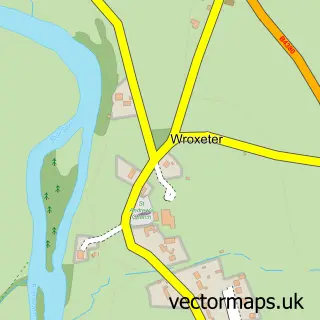
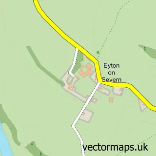
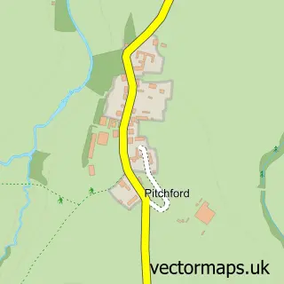
More street maps in Shropshire
750 metre map area coverage
Boundary, postcode and point of interest information for the 750m x 750m rectangle centred on this sample map.
Boundaries containing map centre
Constituency: South Shropshire Co Const
District: Shropshire
Icb: NHS Shropshire Telford and Wrekin ICB
Parish: Berrington CP
Police Force: west mercia
Postcode District: SY5
Postcode Sector: SY5 6
Nearby boundaries intersecting sample
Parish: Atcham CP
Postcode coverage
POI category counts
Post Office: 3
Convenience Store: 2
Driving School: 2
Community Center: 1
Contractor: 1
Dj Service: 1
Financial Service: 1
Gas Station: 1
Home Developer: 1
Landmark And Historical Building: 1
Sample points of interest
- Chapel Community Centre
- D & R Plastering Contractors Ltd
- Cross Houses Store
- Mace Express
- DJ Cheese Wedding DJ & Party DJ
- K.S. Driving School
- K.S.DRIVING SCHOOL Driving Instructor Sue Lloyd CROSS HOUSES SHROPSHIRE
- Broadway House Associates
- Gulf
- Shropshire Homes
- Cross Houses
- Fighting Fit Shrewsbury
Create a larger editable map of Cross Houses
This sample shows only a 750 metre area. To create a larger map of Cross Houses, use our map builder to choose your own coverage area, add titles and download editable SVG, PDF and PNG files.
Create a custom map of Cross Houses