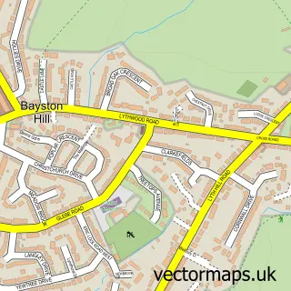
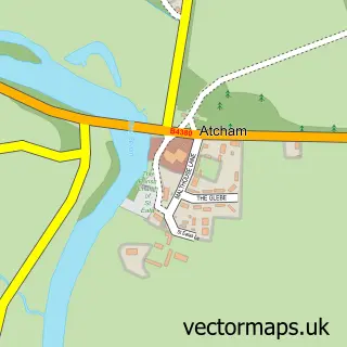
This Shrewsbury street map is a detailed vector street map covering a 750m x 750m area. Select a larger area to create and download your own vector street map of Shrewsbury.
The 750-metre map sample for Shrewsbury covers 213 mapped buildings and approximately 19.1 km of road detail, of which 59 named roads are named. The immediate area includes 2 schools, 2 GP surgeries, with 9 within 2 miles, 33 pubs and 1 MOT station, with 13 within 2 miles. The wider area around Shrewsbury features 18 tourism points of interest, 113 food and drink venues and 15 hotels. To create a larger or custom map of Shrewsbury, the map builder lets you define your own coverage area and download editable SVG, PDF and PNG files.
Create a larger editable map of Shrewsbury
Choose any area you need and generate a high-quality vector map instantly. Perfect for print, planning, design, business and personal use.

This Shrewsbury street map in Shropshire is available as downloadable SVG, PDF and PNG map files, or as a printed map for planning, business, display, education, local information and design work. You can also create a larger custom map area using the map selector.
What this Shrewsbury map sample shows
Shrewsbury lies within Shrewsbury Cp parish, part of Abbey ward in the Shropshire local authority area. The postcode geography for this area includes the SY postcode area, the SY2 postcode district and the SY2 6 postcode sector. Residents fall under the Nhs Shropshire, Telford And Wrekin Integrated Care Board for NHS services.
Local features near Shrewsbury
Within 2 milesAmenities and services in and around Shrewsbury.
Administrative and postcode information for Shrewsbury
Shrewsbury lies within Shrewsbury Cp parish, part of Abbey ward in the Shropshire local authority area. The postcode geography for this area includes the SY postcode area, the SY2 postcode district and the SY2 6 postcode sector. Residents fall under the Nhs Shropshire, Telford And Wrekin Integrated Care Board for NHS services.
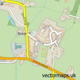
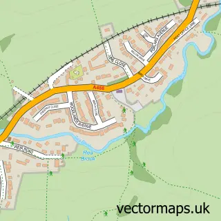
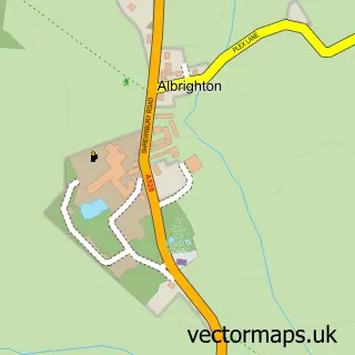
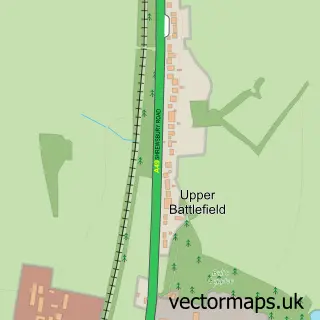
Nearby street map samples around Shrewsbury

More street maps in Shropshire
750 metre map area coverage
Boundary, postcode and point of interest information for the 750m x 750m rectangle centred on this sample map.
Boundaries containing map centre
Constituency: Shrewsbury Co Const
District: Shropshire
Icb: NHS Shropshire Telford and Wrekin ICB
Parish: Shrewsbury CP
Police Force: west mercia
Postcode District: SY1
Postcode Sector: SY1 1
Nearby boundaries intersecting sample
Postcode District: SY2, SY3
Postcode Sector: SY1 2, SY2 6, SY3 7, SY3 8
Postcode coverage
POI category counts
Clothing Store: 54
Hair Salon: 38
Cafe: 36
Beauty Salon: 35
Pub: 33
Professional Services: 29
Jewelry Store: 28
Flowers And Gifts Shop: 25
Coffee Shop: 24
Real Estate Agent: 24
Sample points of interest
- D R E & Co. Charted Accountants
- MJ & Co Accountants
- TCA Shrewsbury
- Shrewsbury Boat Trips
- Shropshire Paragliding
- Acupuncture Shrewsbury Clinic
- St John's Hill Clinic
- St Johns Hill Acupuncture Clinic
- St. John's Acupuncture Clinic
- Pitman Training
- 21st Century Media
- Best Web Jobs
Create a larger editable map of Shrewsbury
This sample shows only a 750 metre area. To create a larger map of Shrewsbury, use our map builder to choose your own coverage area, add titles and download editable SVG, PDF and PNG files.
Create a custom map of Shrewsbury