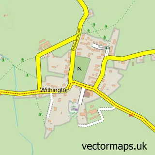
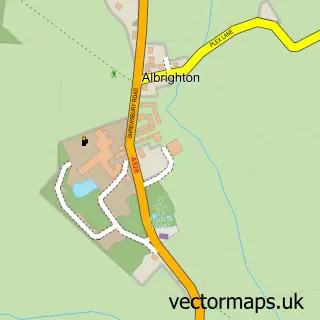
This Uffington street map is a detailed vector street map covering a 750m x 750m area. Select a larger area to create and download your own vector street map of Uffington.
The 750-metre map sample for Uffington covers 87 mapped buildings and approximately 6.0 km of road detail, of which 3 named roads are named. The immediate area includes 2 GP surgeries within 2 miles, 1 pub and 22 MOT stations within 2 miles. The wider area around Uffington features 1 food and drink venue. To create a larger or custom map of Uffington, the map builder lets you define your own coverage area and download editable SVG, PDF and PNG files.
Create a larger editable map of Uffington
Choose any area you need and generate a high-quality vector map instantly. Perfect for print, planning, design, business and personal use.

This Uffington street map in Shropshire is available as downloadable SVG, PDF and PNG map files, or as a printed map for planning, business, display, education, local information and design work. You can also create a larger custom map area using the map selector.
What this Uffington map sample shows
Uffington lies within Uffington Cp parish, part of Tern ward in the Shropshire local authority area. The postcode geography for this area includes the SY postcode area, the SY4 postcode district and the SY4 4 postcode sector. Residents fall under the Nhs Shropshire, Telford And Wrekin Integrated Care Board for NHS services.
Local features near Uffington
Within 2 milesAmenities and services in and around Uffington.
Administrative and postcode information for Uffington
The local authority covering Uffington is Shropshire, within the county of Shropshire. The settlement lies within Tern ward and Uffington Cp civil parish. The SY4 postcode district and SY4 4 postcode sector serve the immediate area. NHS provision in the area is delivered through The Shrewsbury And Telford Hospital Nhs Trust.
Nearby street map samples around Uffington
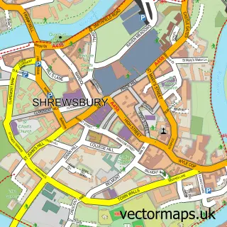

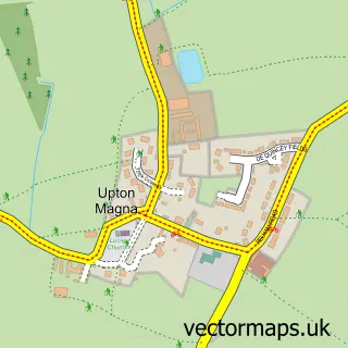
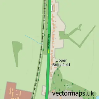
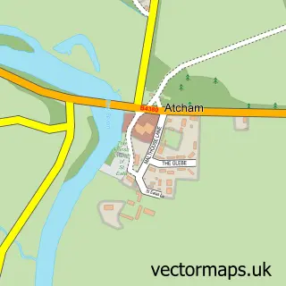
More street maps in Shropshire
750 metre map area coverage
Boundary, postcode and point of interest information for the 750m x 750m rectangle centred on this sample map.
Boundaries containing map centre
Constituency: Shrewsbury Co Const
District: Shropshire
Icb: NHS Shropshire Telford and Wrekin ICB
Parish: Uffington CP
Police Force: west mercia
Postcode District: SY4
Postcode Sector: SY4 4
Nearby boundaries intersecting sample
Parish: Shrewsbury CP
Postcode District: SY2
Postcode Sector: SY2 5
Postcode coverage
POI category counts
Agricultural Service: 1
Anglican Church: 1
Beauty Salon: 1
Building Supply Store: 1
Church Cathedral: 1
Community Center: 1
Equestrian Facility: 1
Movie Television Studio: 1
Oil And Gas: 1
Pub: 1
Sample points of interest
- Wackley Brook
- Uffington Holy Trinity
- Hair by Amy Smout
- UK Seamless Gutters
- St Georges Church, Rodington
- Uffington Village Hall
- R H Mustoe
- B & R Video Productions
- W R Capper & Co
- The Corbet Arms
- Brookside School Culmington Manor Shropshire
Create a larger editable map of Uffington
This sample shows only a 750 metre area. To create a larger map of Uffington, use our map builder to choose your own coverage area, add titles and download editable SVG, PDF and PNG files.
Create a custom map of Uffington