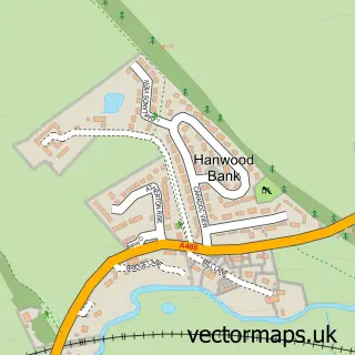
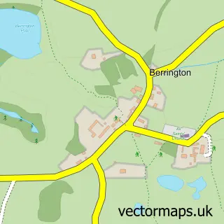
This Bayston Hill street map is a detailed vector street map covering a 750m x 750m area. Select a larger area to create and download your own vector street map of Bayston Hill.
The 750-metre map sample for Bayston Hill covers 468 mapped buildings and approximately 13.3 km of road detail, of which 28 named roads are named. The immediate area includes 1 GP surgery, with 4 within 2 miles and 1 MOT station, with 3 within 2 miles. The wider area around Bayston Hill features 1 tourism point of interest and 1 food and drink venue. To create a larger or custom map of Bayston Hill, the map builder lets you define your own coverage area and download editable SVG, PDF and PNG files.
Create a larger editable map of Bayston Hill
Choose any area you need and generate a high-quality vector map instantly. Perfect for print, planning, design, business and personal use.

This Bayston Hill street map in Shropshire is available as downloadable SVG, PDF and PNG map files, or as a printed map for planning, business, display, education, local information and design work. You can also create a larger custom map area using the map selector.
What this Bayston Hill map sample shows
Bayston Hill lies within Bayston Hill Cp parish, part of Bayston Hill, Column And Sutton ward in the Shropshire local authority area. The postcode geography for this area includes the SY postcode area, the SY3 postcode district and the SY3 0 postcode sector. Residents fall under the Nhs Shropshire, Telford And Wrekin Integrated Care Board for NHS services.
Local features near Bayston Hill
Within 2 milesAmenities and services in and around Bayston Hill.
Administrative and postcode information for Bayston Hill
The local authority covering Bayston Hill is Shropshire, within the county of Shropshire. The settlement lies within Bayston Hill, Column And Sutton ward and Bayston Hill Cp civil parish. The SY3 postcode district and SY3 0 postcode sector serve the immediate area. NHS provision in the area is delivered through The Shrewsbury And Telford Hospital Nhs Trust.
Nearby street map samples around Bayston Hill
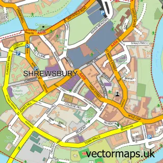

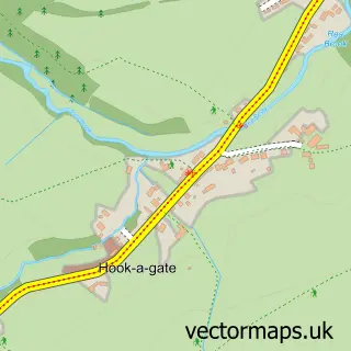
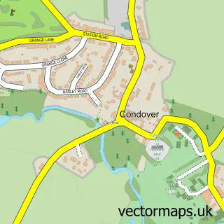
More street maps in Shropshire
750 metre map area coverage
Boundary, postcode and point of interest information for the 750m x 750m rectangle centred on this sample map.
Boundaries containing map centre
Constituency: Shrewsbury Co Const
District: Shropshire
Icb: NHS Shropshire Telford and Wrekin ICB
Parish: Bayston Hill CP
Police Force: west mercia
Postcode District: SY3
Postcode Sector: SY3 0
Nearby boundaries intersecting sample
No additional intersecting boundaries found.
Postcode coverage
POI category counts
Building Supply Store: 4
Beauty And Spa: 2
Beauty Salon: 2
Caterer: 2
Church Cathedral: 2
Contractor: 2
Convenience Store: 2
Doctor: 2
Marketing Agency: 2
Personal Care Service: 2
Sample points of interest
- Shrewsbury Bees
- York House
- Inwood Church Stretton
- Jmc Electrical Services
- Shropshire Oven
- Girly Girlz
- Hair Revival Clinic Shropshire
- Beauty by Louise
- Carlie Salt Nails and Beauty Training
- Alan Roberts Electrical Services
- Ray Hughes & Son
- Severn Plumbing
Create a larger editable map of Bayston Hill
This sample shows only a 750 metre area. To create a larger map of Bayston Hill, use our map builder to choose your own coverage area, add titles and download editable SVG, PDF and PNG files.
Create a custom map of Bayston Hill