This Condover street map is a detailed vector street map covering a 750m x 750m area. Select a larger area to create and download your own vector street map of Condover.
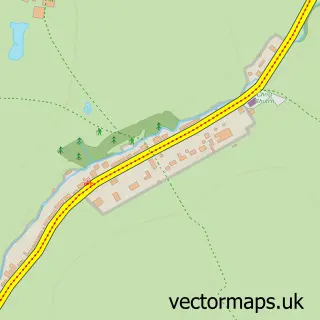
The 750-metre map sample for Condover covers 203 mapped buildings and approximately 10.6 km of road detail, of which 9 named roads are named. The immediate area includes 1 school, 1 GP surgery within 2 miles and 2 MOT stations within 2 miles. The wider area around Condover features 1 tourism point of interest and 1 food and drink venue. To create a larger or custom map of Condover, the map builder lets you define your own coverage area and download editable SVG, PDF and PNG files.
Create a larger editable map of Condover
Choose any area you need and generate a high-quality vector map instantly. Perfect for print, planning, design, business and personal use.

This Condover street map in Shropshire is available as downloadable SVG, PDF and PNG map files, or as a printed map for planning, business, display, education, local information and design work. You can also create a larger custom map area using the map selector.
What this Condover map sample shows
Condover lies within Condover Cp parish, part of Burnell ward in the Shropshire local authority area. The postcode geography for this area includes the SY postcode area, the SY5 postcode district and the SY5 7 postcode sector. Residents fall under the Nhs Shropshire, Telford And Wrekin Integrated Care Board for NHS services.
Local features near Condover
Within 2 milesAmenities and services in and around Condover.
Administrative and postcode information for Condover
The local authority covering Condover is Shropshire, within the county of Shropshire. The settlement lies within Burnell ward and Condover Cp civil parish. The SY5 postcode district and SY5 7 postcode sector serve the immediate area. NHS provision in the area is delivered through The Shrewsbury And Telford Hospital Nhs Trust.
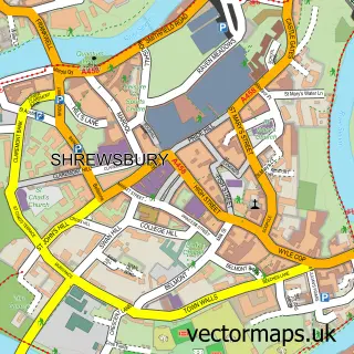
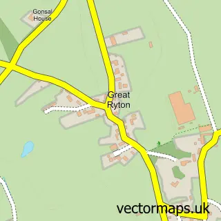
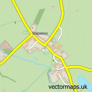
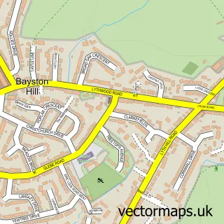
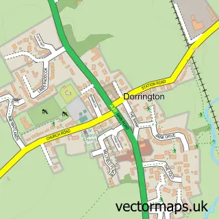
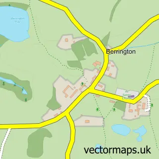
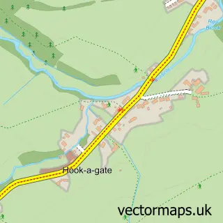
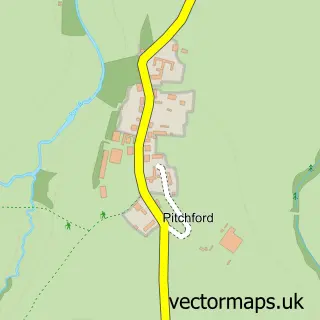
Nearby street map samples around Condover

More street maps in Shropshire
750 metre map area coverage
Boundary, postcode and point of interest information for the 750m x 750m rectangle centred on this sample map.
Boundaries containing map centre
Constituency: South Shropshire Co Const
District: Shropshire
Icb: NHS Shropshire Telford and Wrekin ICB
Parish: Condover CP
Police Force: west mercia
Postcode District: SY5
Postcode Sector: SY5 7
Nearby boundaries intersecting sample
No additional intersecting boundaries found.
Postcode coverage
POI category counts
Anglican Church: 2
Architecture: 2
Elementary School: 2
Home Health Care: 2
Advertising Agency: 1
Alternative Medicine: 1
Beauty Salon: 1
Business Consulting: 1
Business Management Services: 1
Cafe: 1
Sample points of interest
- Promo Lip Balm
- Affinity & Beyond Therapy
- Condover: St Andrew & St Mary
- Condover: St Thomas, Ryton
- Condover Hall - JCA Adventure
- Condover Hall - JCA Adventure
- Hair At The Coach House
- McPhee Associates
- PJ Cycle Repairs
- Condover Pop-up Village Shop and Takeaway
- Lakeside Classics Ltd.
- Roslin Catering Ltd.
Create a larger editable map of Condover
This sample shows only a 750 metre area. To create a larger map of Condover, use our map builder to choose your own coverage area, add titles and download editable SVG, PDF and PNG files.
Create a custom map of Condover