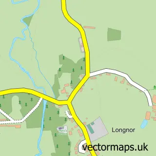
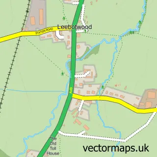
This Great Ryton street map is a detailed vector street map covering a 750m x 750m area. Select a larger area to create and download your own vector street map of Great Ryton.
The 750-metre map sample for Great Ryton covers 88 mapped buildings and approximately 10.3 km of road detail, of which 1 named road are named. The immediate area includes 1 MOT station within 2 miles. To create a larger or custom map of Great Ryton, the map builder lets you define your own coverage area and download editable SVG, PDF and PNG files.
Create a larger editable map of Great Ryton
Choose any area you need and generate a high-quality vector map instantly. Perfect for print, planning, design, business and personal use.

This Great Ryton street map in Shropshire is available as downloadable SVG, PDF and PNG map files, or as a printed map for planning, business, display, education, local information and design work. You can also create a larger custom map area using the map selector.
What this Great Ryton map sample shows
Great Ryton lies within Condover Cp parish, part of Burnell ward in the Shropshire local authority area. The postcode geography for this area includes the SY postcode area, the SY5 postcode district and the SY5 7 postcode sector. Residents fall under the Nhs Shropshire, Telford And Wrekin Integrated Care Board for NHS services.
Local features near Great Ryton
Within 2 milesAmenities and services in and around Great Ryton.
Administrative and postcode information for Great Ryton
The local authority covering Great Ryton is Shropshire, within the county of Shropshire. The settlement lies within Burnell ward and Condover Cp civil parish. The SY5 postcode district and SY5 7 postcode sector serve the immediate area. NHS provision in the area is delivered through The Shrewsbury And Telford Hospital Nhs Trust.
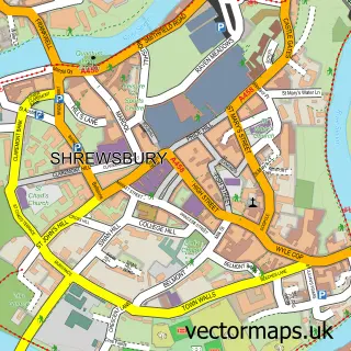
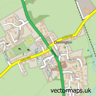
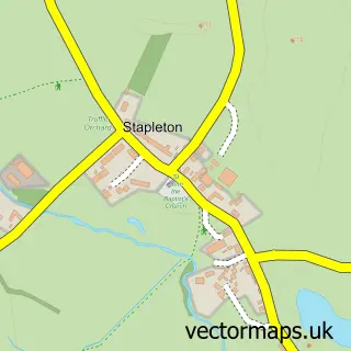
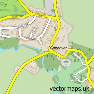
Nearby street map samples around Great Ryton

More street maps in Shropshire
750 metre map area coverage
Boundary, postcode and point of interest information for the 750m x 750m rectangle centred on this sample map.
Boundaries containing map centre
Constituency: South Shropshire Co Const
District: Shropshire
Icb: NHS Shropshire Telford and Wrekin ICB
Parish: Condover CP
Police Force: west mercia
Postcode District: SY5
Postcode Sector: SY5 7
Nearby boundaries intersecting sample
No additional intersecting boundaries found.
Postcode coverage
POI category counts
Bar: 1
Business Consulting: 1
Cottage: 1
Event Planning: 1
Furniture Store: 1
Holiday Rental Home: 1
Home Cleaning: 1
Industrial Equipment: 1
Professional Services: 1
Public And Government Association: 1
Sample points of interest
- The Fox Inn
- Nicholson Thorpe
- Ryton Grange
- Ryton Village Hall
- 3Jc
- Ryton Farm
- BPS Sandblasting
- 3JC Ltd.
- Shropshire Child Contact Centres
- Shrewsbury and Atcham
- Oakwood Grange Holiday Cottage
Create a larger editable map of Great Ryton
This sample shows only a 750 metre area. To create a larger map of Great Ryton, use our map builder to choose your own coverage area, add titles and download editable SVG, PDF and PNG files.
Create a custom map of Great Ryton