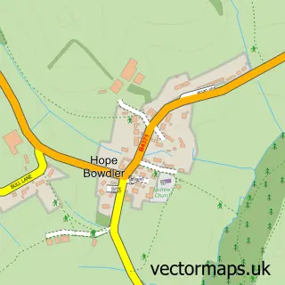
This Leebotwood street map is a detailed vector street map covering a 750m x 750m area. Select a larger area to create and download your own vector street map of Leebotwood.
The 750-metre map sample for Leebotwood covers 83 mapped buildings and approximately 16.5 km of road detail, of which 2 named roads are named. The wider area around Leebotwood features 1 tourism point of interest and 1 campsite within 2 miles. To create a larger or custom map of Leebotwood, the map builder lets you define your own coverage area and download editable SVG, PDF and PNG files.
Create a larger editable map of Leebotwood
Choose any area you need and generate a high-quality vector map instantly. Perfect for print, planning, design, business and personal use.

This Leebotwood street map in Shropshire is available as downloadable SVG, PDF and PNG map files, or as a printed map for planning, business, display, education, local information and design work. You can also create a larger custom map area using the map selector.
What this Leebotwood map sample shows
Leebotwood lies within Leebotwood Cp parish, part of Burnell ward in the Shropshire local authority area. The postcode geography for this area includes the SY postcode area, the SY6 postcode district and the SY6 6 postcode sector. Residents fall under the Nhs Shropshire, Telford And Wrekin Integrated Care Board for NHS services.
Local features near Leebotwood
Within 2 milesAmenities and services in and around Leebotwood.
Administrative and postcode information for Leebotwood
The local authority covering Leebotwood is Shropshire, within the county of Shropshire. The settlement lies within Burnell ward and Leebotwood Cp civil parish. The SY6 postcode district and SY6 6 postcode sector serve the immediate area. NHS provision in the area is delivered through The Shrewsbury And Telford Hospital Nhs Trust.
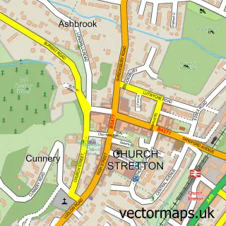
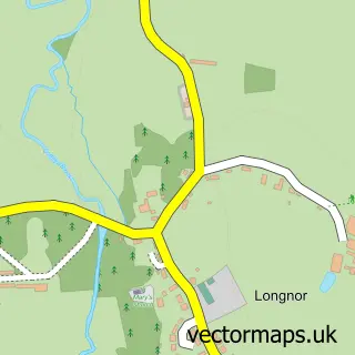
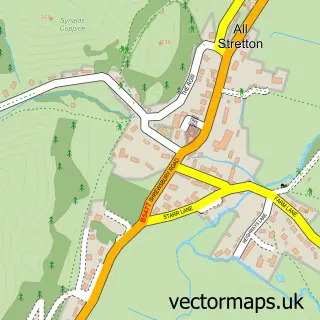
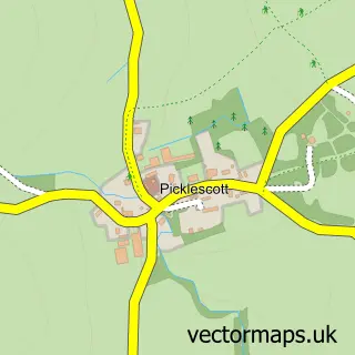
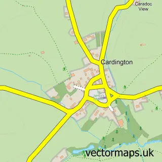
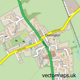
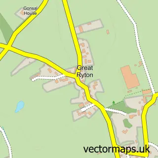
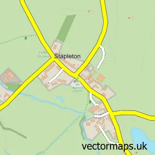
Nearby street map samples around Leebotwood

More street maps in Shropshire
750 metre map area coverage
Boundary, postcode and point of interest information for the 750m x 750m rectangle centred on this sample map.
Boundaries containing map centre
Constituency: South Shropshire Co Const
District: Shropshire
Icb: NHS Shropshire Telford and Wrekin ICB
Parish: Leebotwood CP
Police Force: west mercia
Postcode District: SY6
Postcode Sector: SY6 6
Nearby boundaries intersecting sample
Parish: Woolstaston CP
Postcode coverage
POI category counts
Building Supply Store: 2
Shopping: 2
Baby Gear And Furniture: 1
Bar: 1
Beauty Salon: 1
Campground: 1
Car Dealer: 1
Flowers And Gifts Shop: 1
Food Beverage Service Distribution: 1
Garage Door Service: 1
Sample points of interest
- Full of Beans
- The Pound at Leebotwood
- Salon La Belle - Hair by Abi
- Huws Gray Leebotwood
- Shropshire Door & Gate
- Broadmeadow Campsite
- Overland & Highway Ltd.
- Heather Brae Centre
- Kadai Firebowls
- Andy Jordan The Garage Door Man
- David Bennion Liquid Waste Services
- S.H.E. Holistic Counselling and Therapy
Create a larger editable map of Leebotwood
This sample shows only a 750 metre area. To create a larger map of Leebotwood, use our map builder to choose your own coverage area, add titles and download editable SVG, PDF and PNG files.
Create a custom map of Leebotwood