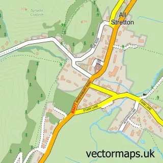
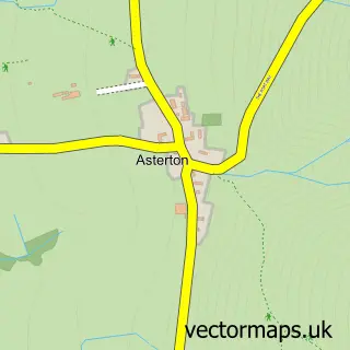
This Church Stretton street map is a detailed vector street map covering a 750m x 750m area. Select a larger area to create and download your own vector street map of Church Stretton.
The 750-metre map sample for Church Stretton covers 386 mapped buildings and approximately 47.2 km of road detail, of which 32 named roads are named. The immediate area includes 1 railway station, 1 GP surgery, 6 pubs and 2 MOT stations. The wider area around Church Stretton features 3 tourism points of interest, 14 food and drink venues and 2 hotels. To create a larger or custom map of Church Stretton, the map builder lets you define your own coverage area and download editable SVG, PDF and PNG files.
Create a larger editable map of Church Stretton
Choose any area you need and generate a high-quality vector map instantly. Perfect for print, planning, design, business and personal use.

This Church Stretton street map in Shropshire is available as downloadable SVG, PDF and PNG map files, or as a printed map for planning, business, display, education, local information and design work. You can also create a larger custom map area using the map selector.
What this Church Stretton map sample shows
Church Stretton lies within Church Stretton Cp parish, part of Church Stretton And Craven Arms ward in the Shropshire local authority area. The postcode geography for this area includes the SY postcode area, the SY6 postcode district and the SY6 6 postcode sector. Residents fall under the Nhs Shropshire, Telford And Wrekin Integrated Care Board for NHS services.
Local features near Church Stretton
Within 2 milesAmenities and services in and around Church Stretton.
Administrative and postcode information for Church Stretton
Church Stretton lies within Church Stretton Cp parish, part of Church Stretton And Craven Arms ward in the Shropshire local authority area. The postcode geography for this area includes the SY postcode area, the SY6 postcode district and the SY6 6 postcode sector. Residents fall under the Nhs Shropshire, Telford And Wrekin Integrated Care Board for NHS services.
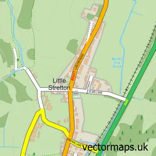
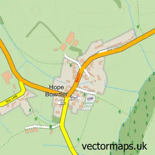
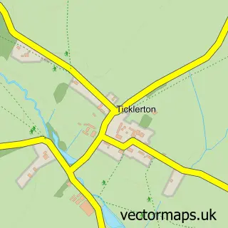
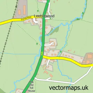
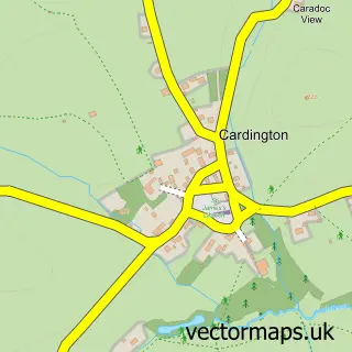
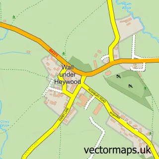
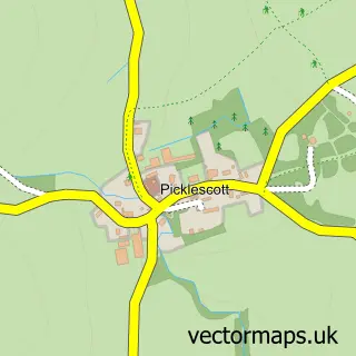
Nearby street map samples around Church Stretton

More street maps in Shropshire
750 metre map area coverage
Boundary, postcode and point of interest information for the 750m x 750m rectangle centred on this sample map.
Boundaries containing map centre
Constituency: South Shropshire Co Const
District: Shropshire
Icb: NHS Shropshire Telford and Wrekin ICB
Parish: Church Stretton CP
Police Force: west mercia
Postcode District: SY6
Postcode Sector: SY6 6
Nearby boundaries intersecting sample
Postcode Sector: SY6 7
Postcode coverage
POI category counts
Coffee Shop: 6
Pub: 6
Convenience Store: 5
Antique Store: 4
Beauty Salon: 4
Financial Service: 4
Bakery: 3
Barber: 3
Bed And Breakfast: 3
Business Management Services: 3
Sample points of interest
- Martin Horne & Co
- Titanium Design
- Church Stretton: St Laurence
- Stretton Parish PCC
- British Red Cross
- Hope House Charity Shop
- Stretton Antiques Market
- Sue Ryder Care
- Salopian Models
- The Prolific Crafter
- Midcounties Co-Op Church Stretton
- Burway Garage
Create a larger editable map of Church Stretton
This sample shows only a 750 metre area. To create a larger map of Church Stretton, use our map builder to choose your own coverage area, add titles and download editable SVG, PDF and PNG files.
Create a custom map of Church Stretton