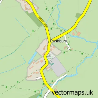
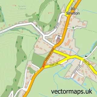
This Wall under Heywood street map is a detailed vector street map covering a 750m x 750m area. Select a larger area to create and download your own vector street map of Wall under Heywood.
The 750-metre map sample for Wall under Heywood covers 93 mapped buildings and approximately 29.3 km of road detail, of which 3 named roads are named. The immediate area includes 1 pub. The wider area around Wall under Heywood features 1 tourism point of interest, 1 food and drink venue and 1 hotel. To create a larger or custom map of Wall under Heywood, the map builder lets you define your own coverage area and download editable SVG, PDF and PNG files.
Create a larger editable map of Wall under Heywood
Choose any area you need and generate a high-quality vector map instantly. Perfect for print, planning, design, business and personal use.

This Wall under Heywood street map in Shropshire is available as downloadable SVG, PDF and PNG map files, or as a printed map for planning, business, display, education, local information and design work. You can also create a larger custom map area using the map selector.
What this Wall under Heywood map sample shows
Wall under Heywood lies within Rushbury Cp parish, part of Corvedale ward in the Shropshire local authority area. The postcode geography for this area includes the SY postcode area, the SY6 postcode district and the SY6 7 postcode sector. Residents fall under the Nhs Shropshire, Telford And Wrekin Integrated Care Board for NHS services.
Local features near Wall under Heywood
Within 2 milesAmenities and services in and around Wall under Heywood.
Administrative and postcode information for Wall under Heywood
The local authority covering Wall under Heywood is Shropshire, within the county of Shropshire. The settlement lies within Corvedale ward and Rushbury Cp civil parish. The SY6 postcode district and SY6 7 postcode sector serve the immediate area. NHS provision in the area is delivered through The Shrewsbury And Telford Hospital Nhs Trust.
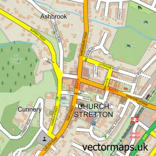
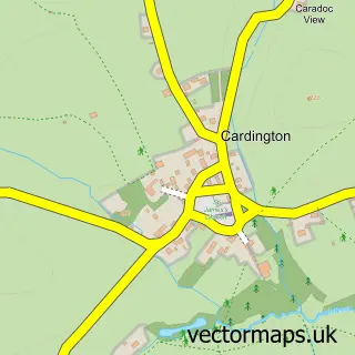
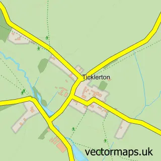
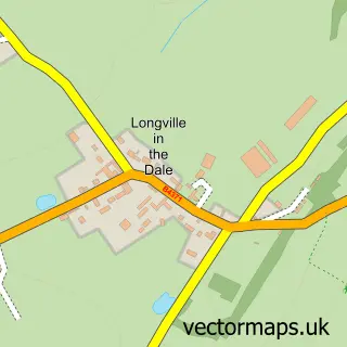
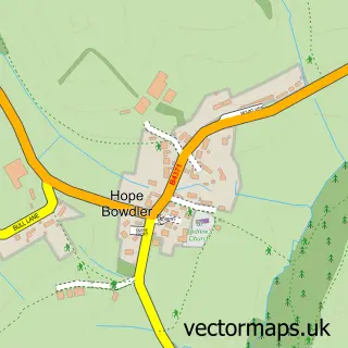
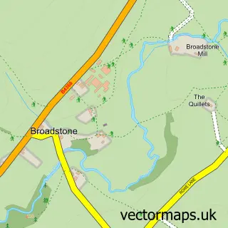
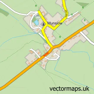
Nearby street map samples around Wall under Heywood

More street maps in Shropshire
750 metre map area coverage
Boundary, postcode and point of interest information for the 750m x 750m rectangle centred on this sample map.
Boundaries containing map centre
Constituency: South Shropshire Co Const
District: Shropshire
Icb: NHS Shropshire Telford and Wrekin ICB
Parish: Rushbury CP
Police Force: west mercia
Postcode District: SY6
Postcode Sector: SY6 7
Nearby boundaries intersecting sample
No additional intersecting boundaries found.
Postcode coverage
POI category counts
Altering And Remodeling Contractor: 2
Auction House: 1
Business Management Services: 1
Community Center: 1
Event Planning: 1
Park: 1
Performing Arts: 1
Pub: 1
Rv Park: 1
Sample points of interest
- Heritage Tile Conservation Ltd.
- Heritage Tile Conservation Ltd.
- Mullock's
- Mullock's
- Rushbury Village Hall
- The Hay Barn
- Rushbury Millennium Green
- Diana Griffiths School of Dance
- The Plough Inn
- Brook House Farm
Create a larger editable map of Wall under Heywood
This sample shows only a 750 metre area. To create a larger map of Wall under Heywood, use our map builder to choose your own coverage area, add titles and download editable SVG, PDF and PNG files.
Create a custom map of Wall under Heywood