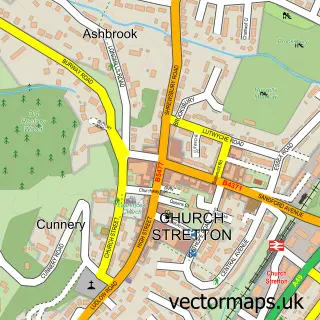
This All Stretton street map is a detailed vector street map covering a 750m x 750m area. Select a larger area to create and download your own vector street map of All Stretton.
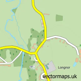
The 750-metre map sample for All Stretton covers 168 mapped buildings and approximately 24.7 km of road detail, of which 7 named roads are named. The immediate area includes 1 GP surgery within 2 miles, 2 pubs and 2 MOT stations within 2 miles. The wider area around All Stretton features 3 tourism points of interest and 2 food and drink venues. To create a larger or custom map of All Stretton, the map builder lets you define your own coverage area and download editable SVG, PDF and PNG files.
Create a larger editable map of All Stretton
Choose any area you need and generate a high-quality vector map instantly. Perfect for print, planning, design, business and personal use.

This All Stretton street map in Shropshire is available as downloadable SVG, PDF and PNG map files, or as a printed map for planning, business, display, education, local information and design work. You can also create a larger custom map area using the map selector.
What this All Stretton map sample shows
All Stretton lies within Church Stretton Cp parish, part of Church Stretton And Craven Arms ward in the Shropshire local authority area. The postcode geography for this area includes the SY postcode area, the SY6 postcode district and the SY6 6 postcode sector. Residents fall under the Nhs Shropshire, Telford And Wrekin Integrated Care Board for NHS services.
Local features near All Stretton
Within 2 milesAmenities and services in and around All Stretton.
Administrative and postcode information for All Stretton
All Stretton lies within Church Stretton Cp parish, part of Church Stretton And Craven Arms ward in the Shropshire local authority area. The postcode geography for this area includes the SY postcode area, the SY6 postcode district and the SY6 6 postcode sector. Residents fall under the Nhs Shropshire, Telford And Wrekin Integrated Care Board for NHS services.
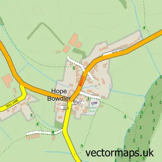
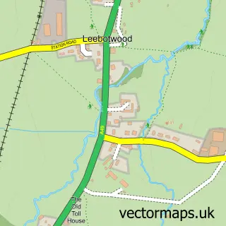
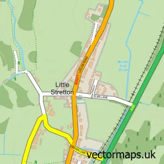
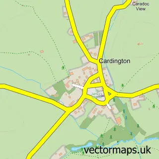
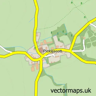
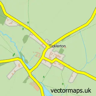
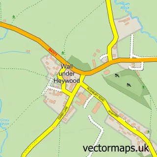
Nearby street map samples around All Stretton

More street maps in Shropshire
750 metre map area coverage
Boundary, postcode and point of interest information for the 750m x 750m rectangle centred on this sample map.
Boundaries containing map centre
Constituency: South Shropshire Co Const
District: Shropshire
Icb: NHS Shropshire Telford and Wrekin ICB
Parish: Church Stretton CP
Police Force: west mercia
Postcode District: SY6
Postcode Sector: SY6 6
Nearby boundaries intersecting sample
No additional intersecting boundaries found.
Postcode coverage
POI category counts
Pub: 2
Business Consulting: 1
Campground: 1
Community Center: 1
Farm: 1
Holiday Rental Home: 1
Landmark And Historical Building: 1
Retirement Home: 1
Self Catering Accommodation: 1
Sports And Recreation Venue: 1
Sample points of interest
- Spark UK
- New House Farm Touring Pitches
- All Stretton Village Hall
- Barnfield Farm and Livery
- Old Hall Barns
- Batch Valley
- Yew Tree
- Yew Tree Inn
- Stretton Hall Nursing Home
- Clearviews - Spectacular views, All en-suites And jacuzzi
- Explore Shropshire
- Batch Valley
Create a larger editable map of All Stretton
This sample shows only a 750 metre area. To create a larger map of All Stretton, use our map builder to choose your own coverage area, add titles and download editable SVG, PDF and PNG files.
Create a custom map of All Stretton