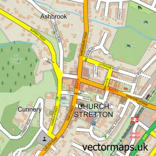
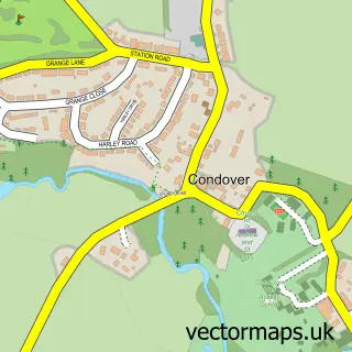
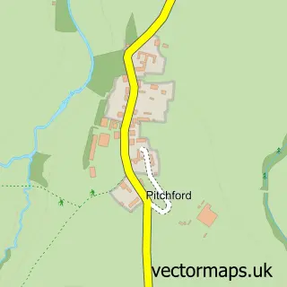
This Dorrington street map is a detailed vector street map covering a 750m x 750m area. Select a larger area to create and download your own vector street map of Dorrington.
The 750-metre map sample for Dorrington covers 267 mapped buildings and approximately 9.6 km of road detail, of which 14 named roads are named. The immediate area includes 1 school, 1 pub and 1 MOT station within 2 miles. The wider area around Dorrington features 1 tourism point of interest and 1 food and drink venue. To create a larger or custom map of Dorrington, the map builder lets you define your own coverage area and download editable SVG, PDF and PNG files.
Create a larger editable map of Dorrington
Choose any area you need and generate a high-quality vector map instantly. Perfect for print, planning, design, business and personal use.

This Dorrington street map in Shropshire is available as downloadable SVG, PDF and PNG map files, or as a printed map for planning, business, display, education, local information and design work. You can also create a larger custom map area using the map selector.
What this Dorrington map sample shows
Dorrington lies within Condover Cp parish, part of Burnell ward in the Shropshire local authority area. The postcode geography for this area includes the SY postcode area, the SY5 postcode district and the SY5 7 postcode sector. Residents fall under the Nhs Shropshire, Telford And Wrekin Integrated Care Board for NHS services.
Local features near Dorrington
Within 2 milesAmenities and services in and around Dorrington.
Administrative and postcode information for Dorrington
The local authority covering Dorrington is Shropshire, within the county of Shropshire. The settlement lies within Burnell ward and Condover Cp civil parish. The SY5 postcode district and SY5 7 postcode sector serve the immediate area. NHS provision in the area is delivered through The Shrewsbury And Telford Hospital Nhs Trust.
Nearby street map samples around Dorrington

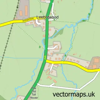
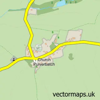
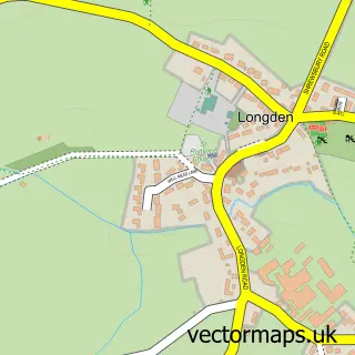
More street maps in Shropshire
750 metre map area coverage
Boundary, postcode and point of interest information for the 750m x 750m rectangle centred on this sample map.
Boundaries containing map centre
Constituency: South Shropshire Co Const
District: Shropshire
Icb: NHS Shropshire Telford and Wrekin ICB
Parish: Condover CP
Police Force: west mercia
Postcode District: SY5
Postcode Sector: SY5 7
Nearby boundaries intersecting sample
No additional intersecting boundaries found.
Postcode coverage
POI category counts
Convenience Store: 2
Doctor: 2
Elementary School: 2
Shipping Center: 2
Accommodation: 1
Anglican Church: 1
Assisted Living Facility: 1
Attractions And Activities: 1
Bar: 1
Business To Business: 1
Sample points of interest
- Stoney Acres Luxury Holiday Park
- St Edward's, Dorrington - Steeplewood Fold
- Consensus
- Dorrington Community Garden
- The Pound
- Certas Energy - Fuel Depot
- C G Sadd Butchers
- St Edward's Church
- Erozone
- Dorrington Village Hall
- Bliss Bespoke Kitchens and Bedrooms
- Dorrington Village Stores
Create a larger editable map of Dorrington
This sample shows only a 750 metre area. To create a larger map of Dorrington, use our map builder to choose your own coverage area, add titles and download editable SVG, PDF and PNG files.
Create a custom map of Dorrington