Vector Maps logo
Home Why it works Popular maps Districts Samples Customizer Create Your Map
VectorMaps.uk
Home Popular maps Districts Samples Customizer Create Your Map Privacy Disclaimer
Home / UK Maps / Argyll and Bute / Dalavich Map

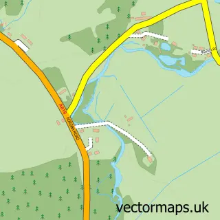
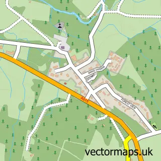
This Dalavich street map is a detailed vector street map covering a 750m x 750m area. Select a larger area to create and download your own vector street map of Dalavich.

Dalavich is a village in Argyll And Bute, in the Highlands And Islands of Scotland. Historically, the area formed part of Argyllshire. The settlement falls within the Argyll And Bute parliamentary constituency. It is served by the PA35 postcode district,

The 750-metre map sample for Dalavich covers 43 mapped buildings and approximately 6.0 km of road detail. The wider area around Dalavich features 2 tourism points of interest, 1 food and drink venue and 2 hotels. To create a larger or custom map of Dalavich, the map builder lets you define your own coverage area and download editable SVG, PDF and PNG files.

43Buildings
5.95 kmRoads
0Named roads
0Residents within 2 miles
Create your own

Create a larger editable map of Dalavich

Choose any area you need and generate a high-quality vector map instantly. Perfect for print, planning, design, business and personal use.

Choose any location
Editable SVG files
Any size up to A0
PDF, PNG & more
Instant download
High quality guaranteed
Create My Custom Map
Secure, private & no credit card required
Dalavich Vector Street Map
750m Sample
Dalavich vector street map sample showing roads, buildings and local features in a 750 metre preview area
Buy Dalavich Map Print from £12.95 Buy Dalavich Digital Map from £6

This Dalavich street map in Argyll and Bute is available as downloadable SVG, PDF and PNG map files, or as a printed map for planning, business, display, education, local information and design work. You can also create a larger custom map area using the map selector.

What this Dalavich map sample shows

Dalavich lies within Argyll And Bute parish, part of Oban North And Lorn ward in the Argyll And Bute local authority area. The postcode geography for this area includes the PA postcode area, the PA35 postcode district and the PA35 1 postcode sector. Residents fall under the Highland for NHS services.

Local features near Dalavich

Within 2 miles

Amenities and services in and around Dalavich.

2 Tourism & leisure
1 Food & drink
2 Hotels

Counts are approximate and based on publicly available data.

Administrative and postcode information for Dalavich

Dalavich lies within Argyll And Bute parish, part of Oban North And Lorn ward in the Argyll And Bute local authority area. The postcode geography for this area includes the PA postcode area, the PA35 postcode district and the PA35 1 postcode sector. Residents fall under the Highland for NHS services.

Parish ARGYLL AND BUTE
Ward Oban North and Lorn
District / local authority Argyll and Bute
County Argyll and Bute
Historic county Argyllshire
Postcode district PA35
Postcode sector PA35 1
Parliamentary constituency Argyll and Bute
Region Highlands and Islands
Country Scotland

Nearby street map samples around Dalavich

Street map sample of Inveraray, Argyll and Bute Inveraray Town - Argyll and Bute - 8.3 miles Street map sample of Glasgow, City of Glasgow Glasgow City - City of Glasgow - 48.5 miles Street map sample of Kilmelford, Argyll and Bute Kilmelford Village - Argyll and Bute - 7.4 miles Street map sample of Ford, Argyll and Bute Ford Village - Argyll and Bute - 8.4 miles Street map sample of Furnace, Argyll and Bute Furnace Village - Argyll and Bute - 8.5 miles Street map sample of Kilmore, Argyll and Bute Kilmore Village - Argyll and Bute - 9.7 miles Street map sample of St Catherines, Argyll and Bute St Catherines Village - Argyll and Bute - 10.0 miles Street map sample of Minard, Argyll and Bute Minard Village - Argyll and Bute - 10.2 miles Street map sample of Arduaine, Argyll and Bute Arduaine Village - Argyll and Bute - 10.5 miles Street map sample of Strachur, Argyll and Bute Strachur Village - Argyll and Bute - 10.6 miles

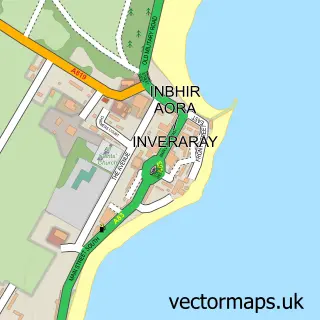
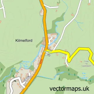
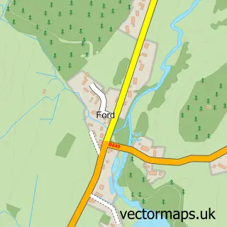
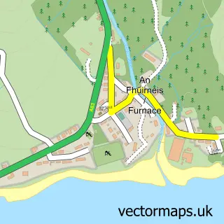
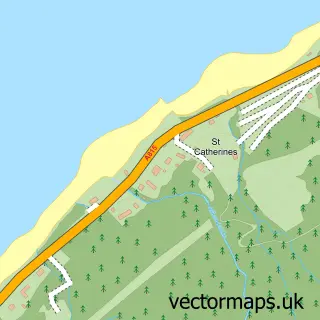
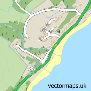
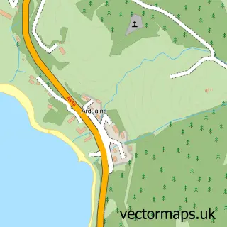
More street maps in Argyll and Bute

Street map sample of Kilmelford, Argyll and Bute Kilmelford Village - 7.4 miles Street map sample of Inveraray, Argyll and Bute Inveraray Town - 8.3 miles Street map sample of Ford, Argyll and Bute Ford Village - 8.4 miles Street map sample of Furnace, Argyll and Bute Furnace Village - 8.5 miles Street map sample of Kilmore, Argyll and Bute Kilmore Village - 9.7 miles

750 metre map area coverage

Boundary, postcode and point of interest information for the 750m x 750m rectangle centred on this sample map.

Boundaries containing map centre

Constituency: Argyll, Bute and South Lochaber Co Const

District: Argyll and Bute

Icb: Highland

Postcode District: PA35

Postcode Sector: PA35 1

Ward: Oban North and Lorn Ward

Nearby boundaries intersecting sample

Postcode District: PA33

Postcode Sector: PA33 1

Postcode coverage

PA35 PA35 1 PA33 PA33 1

POI category counts

Hotel: 2

Business Management Services: 1

Cabin: 1

Campground: 1

Catholic Church: 1

Church Cathedral: 1

Coffee Shop: 1

Community Services Non Profits: 1

Convenience Store: 1

Gym: 1

Sample points of interest

  • Post Office-Dalavich Business Management Services
  • Log Cabin Scotland at Loch Awe Cabin
  • LochAwe Camping Pods Campground
  • Kilchrenan and Dalavich Catholic Church
  • Dalavich Church Church Cathedral
  • Dalavich Shop & Wild Rowan Café Coffee Shop
  • The Twilight Cabin from LCTF Community Services Non Profits
  • Village Shop & Post Office Convenience Store
  • Lochaweside Marine Gym
  • Cruachan Cabin 9, Dalavich Hotel
  • Dalavich Old School Hotel
  • The Old School Apartments Landmark And Historical Building

Create a larger editable map of Dalavich

This sample shows only a 750 metre area. To create a larger map of Dalavich, use our map builder to choose your own coverage area, add titles and download editable SVG, PDF and PNG files.

Create a custom map of Dalavich

Phone 01751 473136 | Copyright Vectormaps.uk 2026

Samples Customizer Privacy Disclaimer
Dalavich Vector Street Map
Dalavich enlarged street map sample showing a 750 metre preview area