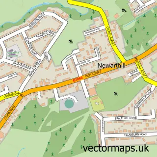
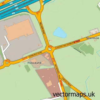
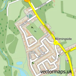
This Dalziel Estate street map is a detailed vector street map covering a 750m x 750m area. Select a larger area to create and download your own vector street map of Dalziel Estate.
The 750-metre map sample for Dalziel Estate covers 223 mapped buildings and approximately 8.2 km of road detail, of which 14 named roads are named. The immediate area includes 12 GP surgeries within 2 miles and 15 MOT stations within 2 miles. The wider area around Dalziel Estate features 1 food and drink venue and 3 hotels. To create a larger or custom map of Dalziel Estate, the map builder lets you define your own coverage area and download editable SVG, PDF and PNG files.
Create a larger editable map of Dalziel Estate
Choose any area you need and generate a high-quality vector map instantly. Perfect for print, planning, design, business and personal use.

This Dalziel Estate street map in Lanarkshire is available as downloadable SVG, PDF and PNG map files, or as a printed map for planning, business, display, education, local information and design work. You can also create a larger custom map area using the map selector.
What this Dalziel Estate map sample shows
Dalziel Estate lies within North Lanarkshire parish, part of Motherwell North ward in the North Lanarkshire local authority area. The postcode geography for this area includes the ML postcode area, the ML1 postcode district and the ML1 5 postcode sector. Residents fall under the Lanarkshire for NHS services.
Local features near Dalziel Estate
Within 2 milesAmenities and services in and around Dalziel Estate.
Administrative and postcode information for Dalziel Estate
Dalziel Estate lies within North Lanarkshire parish, part of Motherwell North ward in the North Lanarkshire local authority area. The postcode geography for this area includes the ML postcode area, the ML1 postcode district and the ML1 5 postcode sector. Residents fall under the Lanarkshire for NHS services.
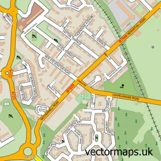
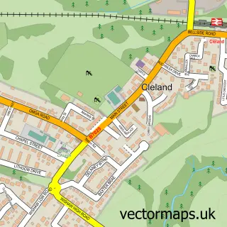
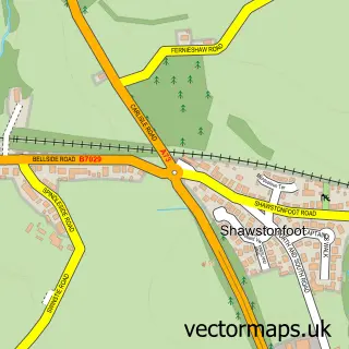
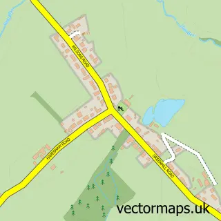
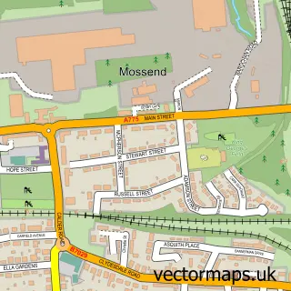
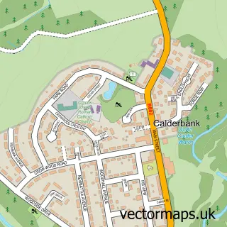
Nearby street map samples around Dalziel Estate

More street maps in Lanarkshire
750 metre map area coverage
Boundary, postcode and point of interest information for the 750m x 750m rectangle centred on this sample map.
Boundaries containing map centre
Constituency: Motherwell, Wishaw and Carluke Co Const
District: North Lanarkshire
Icb: Lanarkshire
Postcode District: ML1
Postcode Sector: ML1 5
Ward: Murdostoun Ward
Nearby boundaries intersecting sample
Ward: Motherwell North Ward
Postcode coverage
POI category counts
Hotel: 3
Sports And Recreation Venue: 2
Sports Club And League: 2
Automotive: 1
Beauty Salon: 1
Building Supply Store: 1
Bus Service: 1
Child Care And Day Care: 1
Church Cathedral: 1
Clothing Store: 1
Sample points of interest
- Tramontana
- Dalziel Park Private Beauty Clinic
- Taymor Industrial Pressure Washing
- Tramontana
- Lanarkshire Childcare Services
- New Craig Community Church
- initially
- Dalziel Park (stadium)
- The Waxing Qube - Lycon hot wax specialist
- Dalziel Park Hotel
- Dalziel Park Hotel & Golf Club
- Wide Mouth Frog
Create a larger editable map of Dalziel Estate
This sample shows only a 750 metre area. To create a larger map of Dalziel Estate, use our map builder to choose your own coverage area, add titles and download editable SVG, PDF and PNG files.
Create a custom map of Dalziel Estate