Vector Maps logo
Home Why it works Popular maps Districts Samples Customizer Create Your Map
VectorMaps.uk
Home Popular maps Districts Samples Customizer Create Your Map Privacy Disclaimer
Home / UK Maps / Ayrshire and Arran / Darvel Map

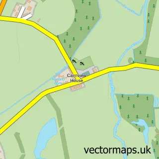
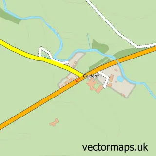
This Darvel street map is a detailed vector street map covering a 750m x 750m area. Select a larger area to create and download your own vector street map of Darvel.

Darvel is a town in Ayrshire And Arran, in the South Scotland of Scotland. Historically, the area formed part of Ayrshire. The settlement falls within the Kilmarnock And Loudoun parliamentary constituency. It is served by the KA17 postcode district, with

The 750-metre map sample for Darvel covers 402 mapped buildings and approximately 18.2 km of road detail, of which 38 named roads are named. The immediate area includes 1 GP surgery within 2 miles, 3 pubs and 1 MOT station, with 3 within 2 miles. The wider area around Darvel features 3 tourism points of interest, 5 food and drink venues and 2 hotels. To create a larger or custom map of Darvel, the map builder lets you define your own coverage area and download editable SVG, PDF and PNG files.

402Buildings
18.18 kmRoads
38Named roads
0Residents within 2 miles
Create your own

Create a larger editable map of Darvel

Choose any area you need and generate a high-quality vector map instantly. Perfect for print, planning, design, business and personal use.

Choose any location
Editable SVG files
Any size up to A0
PDF, PNG & more
Instant download
High quality guaranteed
Create My Custom Map
Secure, private & no credit card required
Darvel Vector Street Map
750m Sample
Darvel vector street map sample showing roads, buildings and local features in a 750 metre preview area
Buy Darvel Map Print from £12.95 Buy Darvel Digital Map from £6

This Darvel street map in Ayrshire and Arran is available as downloadable SVG, PDF and PNG map files, or as a printed map for planning, business, display, education, local information and design work. You can also create a larger custom map area using the map selector.

What this Darvel map sample shows

Darvel lies within East Ayrshire parish, part of Irvine Valley ward in the East Ayrshire local authority area. The postcode geography for this area includes the KA postcode area, the KA17 postcode district and the KA17 0 postcode sector. Residents fall under the Ayrshire And Arran for NHS services.

Local features near Darvel

Within 2 miles

Amenities and services in and around Darvel.

1 GP surgeries within 2 miles
1 MOT stations 3 within 2 miles
3 Tourism & leisure
5 Food & drink
3 Pubs
2 Hotels
1 Healthcare POIs
2 Vehicle services

Counts are approximate and based on publicly available data.

Administrative and postcode information for Darvel

Darvel lies within East Ayrshire parish, part of Irvine Valley ward in the East Ayrshire local authority area. The postcode geography for this area includes the KA postcode area, the KA17 postcode district and the KA17 0 postcode sector. Residents fall under the Ayrshire And Arran for NHS services.

Parish EAST AYRSHIRE
Ward Irvine Valley
District / local authority East Ayrshire
County Ayrshire and Arran
Historic county Ayrshire
Postcode district KA17
Postcode sector KA17 0
Parliamentary constituency Kilmarnock and Loudoun
Region South Scotland
Country Scotland

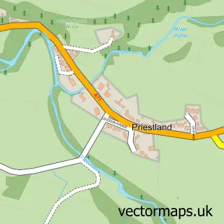
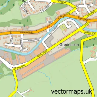
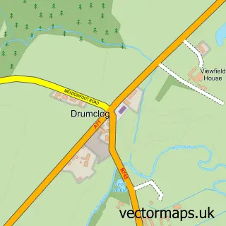
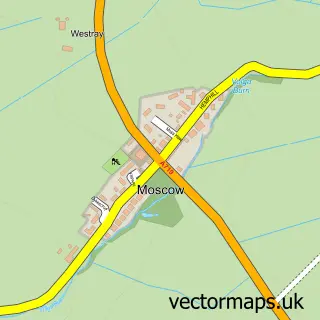
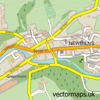
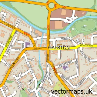
Nearby street map samples around Darvel

Street map sample of Glasgow, City of Glasgow Glasgow City - City of Glasgow - 17.4 miles Street map sample of Priestland, Ayrshire and Arran Priestland Village - Ayrshire and Arran - 0.8 miles Street map sample of Greenholm, Ayrshire and Arran Greenholm Village - Ayrshire and Arran - 1.9 miles Street map sample of Drumclog, Lanarkshire Drumclog Village - Lanarkshire - 4.8 miles Street map sample of Moscow, Ayrshire and Arran Moscow Village - Ayrshire and Arran - 5.1 miles Street map sample of Gilmourton, Lanarkshire Gilmourton Village - Lanarkshire - 6.0 miles Street map sample of Crossroads, Ayrshire and Arran Crossroads Village - Ayrshire and Arran - 6.2 miles Street map sample of Waterside, Ayrshire and Arran Waterside Village - Ayrshire and Arran - 6.2 miles Street map sample of Crosshands, Ayrshire and Arran Crosshands Village - Ayrshire and Arran - 6.5 miles Street map sample of Caldermill, Lanarkshire Caldermill Village - Lanarkshire - 6.7 miles

More street maps in Ayrshire and Arran

Street map sample of Priestland, Ayrshire and Arran Priestland Village - 0.8 miles Street map sample of Newmilns, Ayrshire and Arran Newmilns Town - 1.7 miles Street map sample of Greenholm, Ayrshire and Arran Greenholm Village - 1.9 miles Street map sample of Galston, Ayrshire and Arran Galston Town - 3.9 miles Street map sample of Moscow, Ayrshire and Arran Moscow Village - 5.1 miles

750 metre map area coverage

Boundary, postcode and point of interest information for the 750m x 750m rectangle centred on this sample map.

Boundaries containing map centre

Constituency: Kilmarnock and Loudoun Co Const

District: East Ayrshire

Icb: Ayrshire and Arran

Postcode District: KA17

Postcode Sector: KA17 0

Ward: Irvine Valley Ward

Nearby boundaries intersecting sample

No additional intersecting boundaries found.

Postcode coverage

KA17 KA17 0

POI category counts

Convenience Store: 7

Accountant: 4

Professional Services: 4

Flowers And Gifts Shop: 3

Pub: 3

Sports Club And League: 3

Automotive Repair: 2

Beauty Salon: 2

Chinese Restaurant: 2

Fast Food Restaurant: 2

Sample points of interest

  • Dillon Bookkeeping Accountant
  • Dillon Bookkeeping Accountant
  • Ferguson Hugh & Co Accountant
  • Laird Bookkeeping and Payroll Services Accountant
  • HeArt By Gordon Arts And Crafts
  • Ladbrokes Arts And Entertainment
  • The Cooperative Food (BF) Darvel Atms
  • DJ Autos Automotive Repair
  • Loudoun Fast Fit Automotive Repair
  • The Railway Inn Bar
  • Best ever barber Barber
  • Glam & Glow Beauty Salon

Create a larger editable map of Darvel

This sample shows only a 750 metre area. To create a larger map of Darvel, use our map builder to choose your own coverage area, add titles and download editable SVG, PDF and PNG files.

Create a custom map of Darvel

Phone 01751 473136 | Copyright Vectormaps.uk 2026

Samples Customizer Privacy Disclaimer
Darvel Vector Street Map
Darvel enlarged street map sample showing a 750 metre preview area