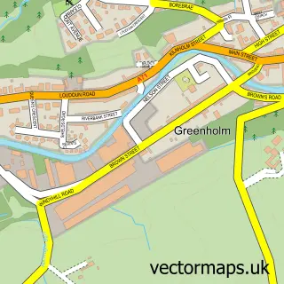
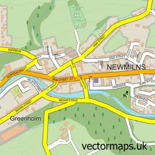
This Galston street map is a detailed vector street map covering a 750m x 750m area. Select a larger area to create and download your own vector street map of Galston.
The 750-metre map sample for Galston covers 429 mapped buildings and approximately 19.2 km of road detail, of which 41 named roads are named. The immediate area includes 1 GP surgery, 4 pubs and 1 MOT station, with 2 within 2 miles. The wider area around Galston features 11 food and drink venues. To create a larger or custom map of Galston, the map builder lets you define your own coverage area and download editable SVG, PDF and PNG files.
Create a larger editable map of Galston
Choose any area you need and generate a high-quality vector map instantly. Perfect for print, planning, design, business and personal use.

This Galston street map in Ayrshire and Arran is available as downloadable SVG, PDF and PNG map files, or as a printed map for planning, business, display, education, local information and design work. You can also create a larger custom map area using the map selector.
What this Galston map sample shows
Galston lies within East Ayrshire parish, part of Irvine Valley ward in the East Ayrshire local authority area. The postcode geography for this area includes the KA postcode area, the KA4 postcode district and the KA4 8 postcode sector. Residents fall under the Ayrshire And Arran for NHS services.
Local features near Galston
Within 2 milesAmenities and services in and around Galston.
Administrative and postcode information for Galston
Galston lies within East Ayrshire parish, part of Irvine Valley ward in the East Ayrshire local authority area. The postcode geography for this area includes the KA postcode area, the KA4 postcode district and the KA4 8 postcode sector. Residents fall under the Ayrshire And Arran for NHS services.
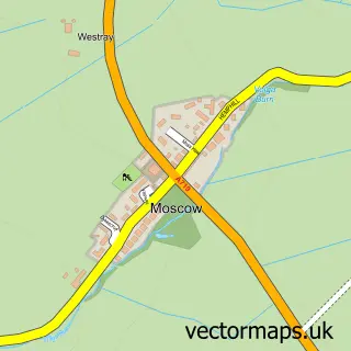
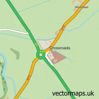
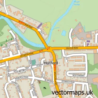
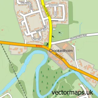
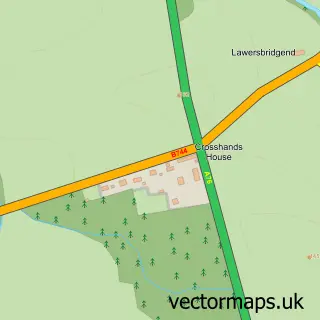
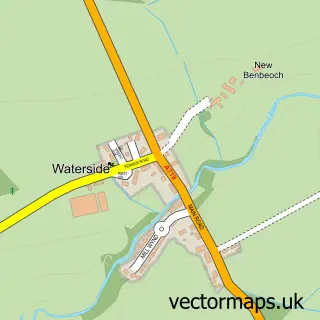
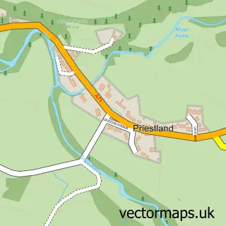
Nearby street map samples around Galston

More street maps in Ayrshire and Arran
750 metre map area coverage
Boundary, postcode and point of interest information for the 750m x 750m rectangle centred on this sample map.
Boundaries containing map centre
Constituency: Kilmarnock and Loudoun Co Const
District: East Ayrshire
Icb: Ayrshire and Arran
Postcode District: KA4
Postcode Sector: KA4 8
Ward: Irvine Valley Ward
Nearby boundaries intersecting sample
No additional intersecting boundaries found.
Postcode coverage
POI category counts
Beauty Salon: 10
Cafe: 4
Hair Salon: 4
Pub: 4
Church Cathedral: 3
Convenience Store: 3
Fast Food Restaurant: 3
Gas Station: 3
Package Locker: 3
Professional Services: 3
Sample points of interest
- TaxAssist Accountants
- David at Brownings
- Bank of Scotland
- Burns Tavern
- The Tudor Inn
- Dan Druffs
- The Cutting Room Barbers
- Beauticall
- Bliss
- Definir
- Glow Gal Beauty
- Hair by Sophie
Create a larger editable map of Galston
This sample shows only a 750 metre area. To create a larger map of Galston, use our map builder to choose your own coverage area, add titles and download editable SVG, PDF and PNG files.
Create a custom map of Galston