Vector Maps logo
Home Why it works Popular maps Districts Samples Customizer Create Your Map
VectorMaps.uk
Home Popular maps Districts Samples Customizer Create Your Map Privacy Disclaimer
Home / UK Maps / Ayrshire and Arran / Crookedholm Map

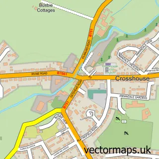
This Crookedholm street map is a detailed vector street map covering a 750m x 750m area. Select a larger area to create and download your own vector street map of Crookedholm.

Crookedholm is a village in Ayrshire And Arran, in the South Scotland of Scotland. Historically, the area formed part of Ayrshire. The settlement falls within the Kilmarnock And Loudoun parliamentary constituency. It is served by the KA3 postcode district

The 750-metre map sample for Crookedholm covers 201 mapped buildings and approximately 10.5 km of road detail, of which 14 named roads are named. The immediate area includes 5 GP surgeries within 2 miles and 2 MOT stations, with 19 within 2 miles. The wider area around Crookedholm features 2 food and drink venues. To create a larger or custom map of Crookedholm, the map builder lets you define your own coverage area and download editable SVG, PDF and PNG files.

201Buildings
10.48 kmRoads
14Named roads
0Residents within 2 miles
Create your own

Create a larger editable map of Crookedholm

Choose any area you need and generate a high-quality vector map instantly. Perfect for print, planning, design, business and personal use.

Choose any location
Editable SVG files
Any size up to A0
PDF, PNG & more
Instant download
High quality guaranteed
Create My Custom Map
Secure, private & no credit card required
Crookedholm Vector Street Map
750m Sample
Crookedholm vector street map sample showing roads, buildings and local features in a 750 metre preview area
Buy Crookedholm Map Print from £12.95 Buy Crookedholm Digital Map from £6

This Crookedholm street map in Ayrshire and Arran is available as downloadable SVG, PDF and PNG map files, or as a printed map for planning, business, display, education, local information and design work. You can also create a larger custom map area using the map selector.

What this Crookedholm map sample shows

Crookedholm lies within East Ayrshire parish, part of Kilmarnock East And Hurlford ward in the East Ayrshire local authority area. The postcode geography for this area includes the KA postcode area, the KA3 postcode district and the KA3 6 postcode sector. Residents fall under the Ayrshire And Arran for NHS services.

Local features near Crookedholm

Within 2 miles

Amenities and services in and around Crookedholm.

5 GP surgeries within 2 miles
2 MOT stations 19 within 2 miles
2 Food & drink

Counts are approximate and based on publicly available data.

Administrative and postcode information for Crookedholm

The local authority covering Crookedholm is East Ayrshire, within the county of Ayrshire And Arran. The settlement lies within Kilmarnock East And Hurlford ward and East Ayrshire civil parish. The KA3 postcode district and KA3 6 postcode sector serve the immediate area. NHS provision in the area is delivered through Ayrshire And Arran.

Parish EAST AYRSHIRE
Ward Kilmarnock East and Hurlford
District / local authority East Ayrshire
County Ayrshire and Arran
Historic county Ayrshire
Postcode district KA3
Postcode sector KA3 6
Parliamentary constituency Kilmarnock and Loudoun
Region South Scotland
Country Scotland

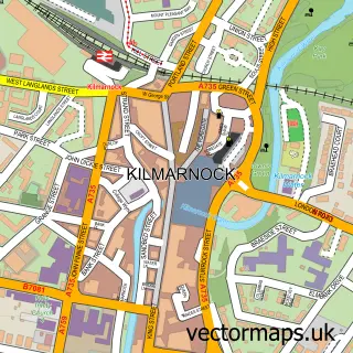
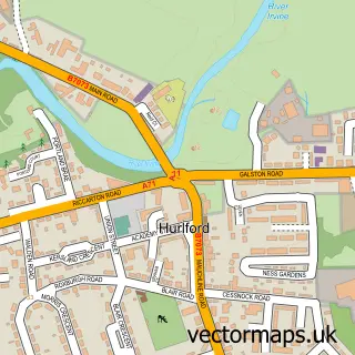
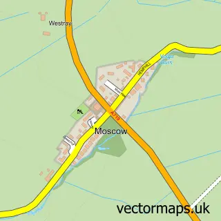
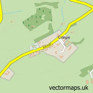
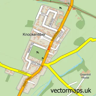
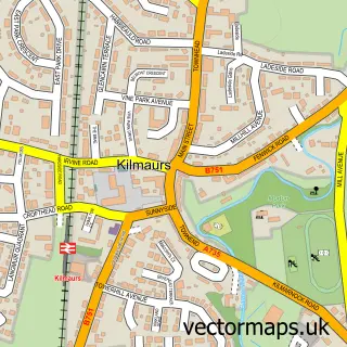
Nearby street map samples around Crookedholm

Street map sample of Kilmarnock, Ayrshire and Arran Kilmarnock Town - Ayrshire and Arran - 1.4 miles Street map sample of Glasgow, City of Glasgow Glasgow City - City of Glasgow - 19.5 miles Street map sample of Hurlford, Ayrshire and Arran Hurlford Village - Ayrshire and Arran - 0.4 miles Street map sample of Crossroads, Ayrshire and Arran Crossroads Village - Ayrshire and Arran - 2.4 miles Street map sample of Earlston, Ayrshire and Arran Earlston Village - Ayrshire and Arran - 2.9 miles Street map sample of Moscow, Ayrshire and Arran Moscow Village - Ayrshire and Arran - 3.0 miles Street map sample of Craigie, Ayrshire and Arran Craigie Village - Ayrshire and Arran - 3.4 miles Street map sample of Knockentiber, Ayrshire and Arran Knockentiber Village - Ayrshire and Arran - 3.4 miles Street map sample of Kilmaurs, Ayrshire and Arran Kilmaurs Village - Ayrshire and Arran - 3.4 miles Street map sample of Crosshouse, Ayrshire and Arran Crosshouse Village - Ayrshire and Arran - 3.5 miles

More street maps in Ayrshire and Arran

Street map sample of Hurlford, Ayrshire and Arran Hurlford Village - 0.4 miles Street map sample of Kilmarnock, Ayrshire and Arran Kilmarnock Town - 1.4 miles Street map sample of Crossroads, Ayrshire and Arran Crossroads Village - 2.4 miles Street map sample of Earlston, Ayrshire and Arran Earlston Village - 2.9 miles Street map sample of Moscow, Ayrshire and Arran Moscow Village - 3.0 miles

750 metre map area coverage

Boundary, postcode and point of interest information for the 750m x 750m rectangle centred on this sample map.

Boundaries containing map centre

Constituency: Kilmarnock and Loudoun Co Const

District: East Ayrshire

Icb: Ayrshire and Arran

Postcode District: KA3

Postcode Sector: KA3 6

Ward: Kilmarnock East and Hurlford Ward

Nearby boundaries intersecting sample

Postcode District: KA1

Postcode Sector: KA1 5

Postcode coverage

KA3 KA3 6 KA1 KA1 5

POI category counts

Antique Store: 2

Caterer: 2

Motorcycle Dealer: 2

Plumbing: 2

Printing Services: 2

Restaurant: 2

Architectural Designer: 1

Automotive Parts And Accessories: 1

Beauty Salon: 1

Boutique: 1

Sample points of interest

  • E'laccure Antique Store
  • Irvine Valley Antiques Antique Store
  • Pryce Architectural Consultants Architectural Designer
  • Fleet Factors Automotive Parts And Accessories
  • Fiona FHM Hair Beauty Salon
  • In The bag Boutique
  • A W S Construction Ltd. Building Contractor
  • Wolseley Plumb Centre Building Supply Store
  • Supreme Car Wash & Valeting Car Wash
  • Little Texas BBQ Caterer
  • McRobertsfoodtruck Caterer
  • Hurlford Catholic Church

Create a larger editable map of Crookedholm

This sample shows only a 750 metre area. To create a larger map of Crookedholm, use our map builder to choose your own coverage area, add titles and download editable SVG, PDF and PNG files.

Create a custom map of Crookedholm

Phone 01751 473136 | Copyright Vectormaps.uk 2026

Samples Customizer Privacy Disclaimer
Crookedholm Vector Street Map
Crookedholm enlarged street map sample showing a 750 metre preview area