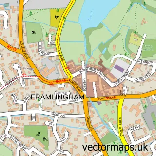
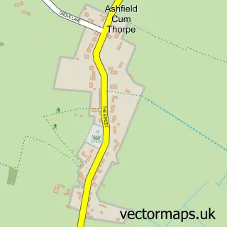
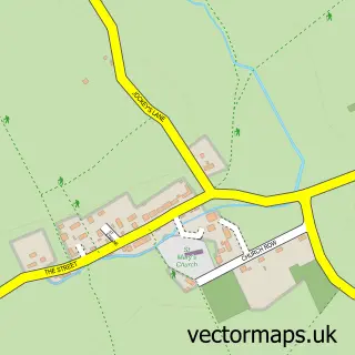
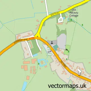
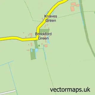
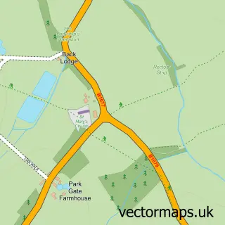
This Debenham street map is a detailed vector street map covering a 750m x 750m area. Select a larger area to create and download your own vector street map of Debenham.
The 750-metre map sample for Debenham covers 516 mapped buildings and approximately 19.0 km of road detail, of which 30 named roads are named. The immediate area includes 1 GP surgery, 1 pub and 1 MOT station within 2 miles. The wider area around Debenham features 3 food and drink venues and 1 hotel. To create a larger or custom map of Debenham, the map builder lets you define your own coverage area and download editable SVG, PDF and PNG files.
Create a larger editable map of Debenham
Choose any area you need and generate a high-quality vector map instantly. Perfect for print, planning, design, business and personal use.

This Debenham street map in Suffolk is available as downloadable SVG, PDF and PNG map files, or as a printed map for planning, business, display, education, local information and design work. You can also create a larger custom map area using the map selector.
What this Debenham map sample shows
Debenham lies within Debenham Cp parish, part of Debenham ward in the Mid Suffolk District local authority area. The postcode geography for this area includes the IP postcode area, the IP14 postcode district and the IP14 6 postcode sector. Residents fall under the Nhs Suffolk And North East Essex Integrated Care Board for NHS services.
Local features near Debenham
Within 2 milesAmenities and services in and around Debenham.
Administrative and postcode information for Debenham
The local authority covering Debenham is Mid Suffolk District, within the county of Suffolk. The settlement lies within Debenham ward and Debenham Cp civil parish. The IP14 postcode district and IP14 6 postcode sector serve the immediate area. NHS provision in the area is delivered through East Suffolk And North Essex Nhs Foundation Trust.
Nearby street map samples around Debenham

More street maps in Suffolk
750 metre map area coverage
Boundary, postcode and point of interest information for the 750m x 750m rectangle centred on this sample map.
Boundaries containing map centre
Constituency: Central Suffolk and North Ipswich Co Const
County: Suffolk County
District: Mid Suffolk District
Icb: NHS Essex ICB
Parish: Debenham CP
Police Force: suffolk
Postcode District: IP14
Postcode Sector: IP14 6
Ward: Debenham Ward
Nearby boundaries intersecting sample
Parish: Winston CP
Postcode coverage
POI category counts
Flowers And Gifts Shop: 5
Real Estate Agent: 4
It Service And Computer Repair: 3
Professional Services: 3
Accountant: 2
Art Gallery: 2
Bakery: 2
Beauty Salon: 2
Brewery: 2
Butcher Shop: 2
Sample points of interest
- Debenham Payroll Service
- Marsh Accountancy
- Hilltop
- Debenham, St Mary Magdalene
- Debenham Antiques Ltd - English Antique Furniture
- Michael Carpenter
- Spiral Gallery
- NJB Upholstery
- 4 Cakes Sake
- Vanilla Bake House
- Stephen Anderson's
- Stephen Anderson
Create a larger editable map of Debenham
This sample shows only a 750 metre area. To create a larger map of Debenham, use our map builder to choose your own coverage area, add titles and download editable SVG, PDF and PNG files.
Create a custom map of Debenham