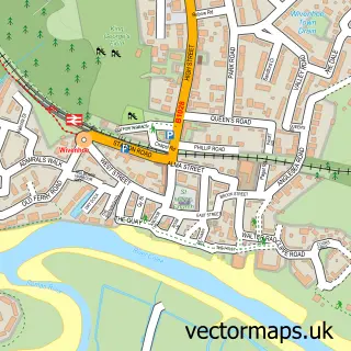
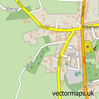
This Colchester street map is a detailed vector street map covering a 750m x 750m area. Select a larger area to create and download your own vector street map of Colchester.
The 750-metre map sample for Colchester covers 231 mapped buildings and approximately 21.0 km of road detail, of which 61 named roads are named. The immediate area includes 2 schools, 8 GP surgeries within 2 miles, 22 pubs and 31 MOT stations within 2 miles. The wider area around Colchester features 16 tourism points of interest, 111 food and drink venues and 11 hotels. To create a larger or custom map of Colchester, the map builder lets you define your own coverage area and download editable SVG, PDF and PNG files.
Create a larger editable map of Colchester
Choose any area you need and generate a high-quality vector map instantly. Perfect for print, planning, design, business and personal use.

This Colchester street map in Essex is available as downloadable SVG, PDF and PNG map files, or as a printed map for planning, business, display, education, local information and design work. You can also create a larger custom map area using the map selector.
What this Colchester map sample shows
Colchester lies within Essex County parish, part of New Town And Christ Church ward in the Colchester District (B) local authority area. The postcode geography for this area includes the CO postcode area, the CO3 postcode district and the CO3 3 postcode sector. Residents fall under the Nhs Suffolk And North East Essex Integrated Care Board for NHS services.
Local features near Colchester
Within 2 milesAmenities and services in and around Colchester.
Administrative and postcode information for Colchester
The local authority covering Colchester is Colchester District (B), within the county of Essex. The settlement lies within New Town And Christ Church ward and Essex County civil parish. The CO3 postcode district and CO3 3 postcode sector serve the immediate area. NHS provision in the area is delivered through East Suffolk And North Essex Nhs Foundation Trust.
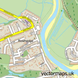
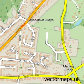
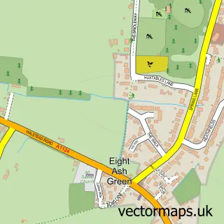
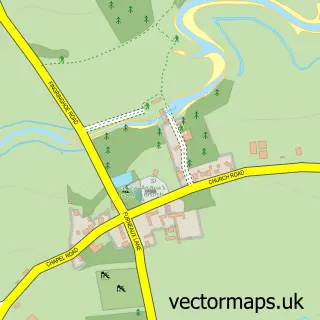
Nearby street map samples around Colchester
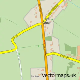
More street maps in Essex
750 metre map area coverage
Boundary, postcode and point of interest information for the 750m x 750m rectangle centred on this sample map.
Boundaries containing map centre
Constituency: Colchester Boro Const
County: Essex County
District: Colchester District (B)
Icb: NHS Essex ICB
Police Force: essex
Postcode District: CO1
Postcode Sector: CO1 1
Ward: Castle Ward
Nearby boundaries intersecting sample
Postcode District: CO2, CO3
Postcode Sector: CO1 2, CO2 7, CO3 3
Ward: New Town & Christ Church Ward
Postcode coverage
POI category counts
Clothing Store: 42
Beauty Salon: 40
Restaurant: 31
Barber: 29
Cafe: 29
Coffee Shop: 28
Hair Salon: 28
Professional Services: 27
Real Estate Agent: 25
Tattoo And Piercing: 24
Sample points of interest
- Baye House
- Baker Chapman & Bussey
- Contractor Umbrella Ltd
- Larking Gowen
- Offord Fenning & Associates
- Paper Mountain Solutions Limited
- RDP Accountants
- Rdp Partnership
- Streets
- TaxAssist Accountants
- Virtual Offices Essex UK
- Chinese Medical Centre
Create a larger editable map of Colchester
This sample shows only a 750 metre area. To create a larger map of Colchester, use our map builder to choose your own coverage area, add titles and download editable SVG, PDF and PNG files.
Create a custom map of Colchester