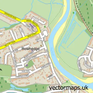
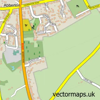
This Wivenhoe street map is a detailed vector street map covering a 750m x 750m area. Select a larger area to create and download your own vector street map of Wivenhoe.
The 750-metre map sample for Wivenhoe covers 367 mapped buildings and approximately 14.2 km of road detail, of which 44 named roads are named. The immediate area includes 1 railway station, 1 GP surgery, with 2 within 2 miles, 6 pubs and 9 MOT stations within 2 miles. The wider area around Wivenhoe features 1 tourism point of interest, 12 food and drink venues and 1 hotel. To create a larger or custom map of Wivenhoe, the map builder lets you define your own coverage area and download editable SVG, PDF and PNG files.
Create a larger editable map of Wivenhoe
Choose any area you need and generate a high-quality vector map instantly. Perfect for print, planning, design, business and personal use.

This Wivenhoe street map in Essex is available as downloadable SVG, PDF and PNG map files, or as a printed map for planning, business, display, education, local information and design work. You can also create a larger custom map area using the map selector.
What this Wivenhoe map sample shows
Wivenhoe lies within Wivenhoe Cp parish, part of Wivenhoe ward in the Colchester District (B) local authority area. The postcode geography for this area includes the CO postcode area, the CO7 postcode district and the CO7 9 postcode sector. Residents fall under the Nhs Suffolk And North East Essex Integrated Care Board for NHS services.
Local features near Wivenhoe
Within 2 milesAmenities and services in and around Wivenhoe.
Administrative and postcode information for Wivenhoe
The local authority covering Wivenhoe is Colchester District (B), within the county of Essex. The settlement lies within Wivenhoe ward and Wivenhoe Cp civil parish. The CO7 postcode district and CO7 9 postcode sector serve the immediate area. NHS provision in the area is delivered through East Suffolk And North Essex Nhs Foundation Trust.
Nearby street map samples around Wivenhoe

More street maps in Essex
750 metre map area coverage
Boundary, postcode and point of interest information for the 750m x 750m rectangle centred on this sample map.
Boundaries containing map centre
Constituency: Harwich and North Essex Co Const
County: Essex County
District: Colchester District (B)
Icb: NHS Essex ICB
Parish: Wivenhoe CP
Police Force: essex
Postcode District: CO7
Postcode Sector: CO7 9
Ward: Wivenhoe Ward
Nearby boundaries intersecting sample
Parish: East Donyland CP, Fingringhoe CP
Postcode District: CO5
Postcode Sector: CO5 7
Ward: Mersea & Pyefleet Ward, Old Heath & The Hythe Ward
Postcode coverage
POI category counts
Professional Services: 6
Pub: 6
Real Estate Agent: 5
Beauty Salon: 4
Art Gallery: 3
Bakery: 3
Bookstore: 3
Cafe: 3
Church Cathedral: 3
Gym: 3
Sample points of interest
- CCD Group
- Infinity Online
- Wivenhoe: St Mary the Virgin
- David Barclay Riba Chartered Architect
- MS Architecture and Design
- Old Grocery
- The Sentinel Gallery
- Wivenhoe Printworks
- Wiiliam Loveless Hall
- Baxter Electrical
- Jennings & Stollery
- Bolivian Pastries
Create a larger editable map of Wivenhoe
This sample shows only a 750 metre area. To create a larger map of Wivenhoe, use our map builder to choose your own coverage area, add titles and download editable SVG, PDF and PNG files.
Create a custom map of Wivenhoe