This Frating street map is a detailed vector street map covering a 750m x 750m area. Select a larger area to create and download your own vector street map of Frating.
The 750-metre map sample for Frating covers 194 mapped buildings and approximately 5.5 km of road detail, of which 7 named roads are named. The immediate area includes 1 GP surgery within 2 miles, 1 pub and 4 MOT stations within 2 miles. The wider area around Frating features 1 food and drink venue. To create a larger or custom map of Frating, the map builder lets you define your own coverage area and download editable SVG, PDF and PNG files.
Create a larger editable map of Frating
Choose any area you need and generate a high-quality vector map instantly. Perfect for print, planning, design, business and personal use.

This Frating street map in Essex is available as downloadable SVG, PDF and PNG map files, or as a printed map for planning, business, display, education, local information and design work. You can also create a larger custom map area using the map selector.
What this Frating map sample shows
Frating lies within Frating Cp parish, part of The Bentleys & Frating ward in the Tendring District local authority area. The postcode geography for this area includes the CO postcode area, the CO7 postcode district and the CO7 7 postcode sector. Residents fall under the Nhs Suffolk And North East Essex Integrated Care Board for NHS services.
Local features near Frating
Within 2 milesAmenities and services in and around Frating.
Administrative and postcode information for Frating
Frating lies within Frating Cp parish, part of The Bentleys & Frating ward in the Tendring District local authority area. The postcode geography for this area includes the CO postcode area, the CO7 postcode district and the CO7 7 postcode sector. Residents fall under the Nhs Suffolk And North East Essex Integrated Care Board for NHS services.
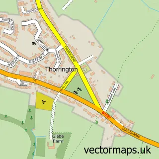
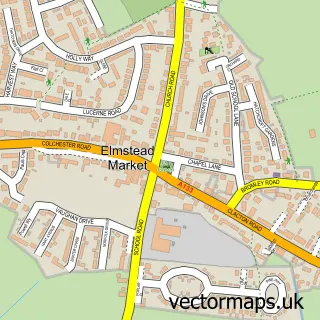
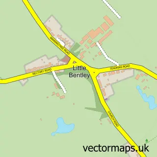
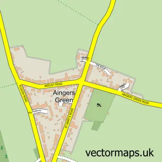
Nearby street map samples around Frating
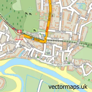

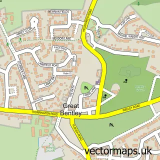
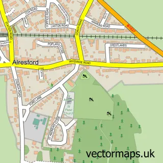
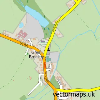
More street maps in Essex
750 metre map area coverage
Boundary, postcode and point of interest information for the 750m x 750m rectangle centred on this sample map.
Boundaries containing map centre
Constituency: Clacton Co Const
County: Essex County
District: Tendring District
Icb: NHS Essex ICB
Parish: Frating CP
Police Force: essex
Postcode District: CO7
Postcode Sector: CO7 7
Ward: The Bentleys & Frating Ward
Nearby boundaries intersecting sample
No additional intersecting boundaries found.
Postcode coverage
POI category counts
Business Manufacturing And Supply: 1
Caterer: 1
Convenience Store: 1
Flooring Contractors: 1
Gas Station: 1
Hair Salon: 1
Information Technology Company: 1
Plumbing: 1
Preschool: 1
Professional Services: 1
Sample points of interest
- Plant Spares Online
- Melting Chocolate Moments
- Premier Alresford Village Store
- Henry Ashe
- Shell
- The Retreat Hair
- The Local Marketing Team
- Newman Plumbing
- Jo Jingles North Essex
- Elizabeth Jayne Photography
- The Kings Arms Frating
- Frating Village Hall
Create a larger editable map of Frating
This sample shows only a 750 metre area. To create a larger map of Frating, use our map builder to choose your own coverage area, add titles and download editable SVG, PDF and PNG files.
Create a custom map of Frating