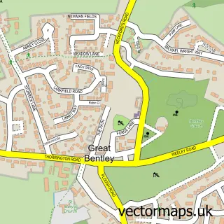
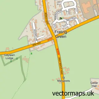
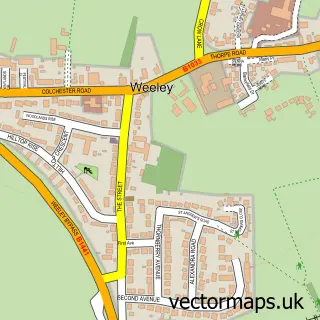
This Thorrington street map is a detailed vector street map covering a 750m x 750m area. Select a larger area to create and download your own vector street map of Thorrington.
The 750-metre map sample for Thorrington covers 255 mapped buildings and approximately 6.7 km of road detail, of which 11 named roads are named. The immediate area includes 1 GP surgery within 2 miles, 1 pub and 5 MOT stations within 2 miles. The wider area around Thorrington features 1 food and drink venue. To create a larger or custom map of Thorrington, the map builder lets you define your own coverage area and download editable SVG, PDF and PNG files.
Create a larger editable map of Thorrington
Choose any area you need and generate a high-quality vector map instantly. Perfect for print, planning, design, business and personal use.

This Thorrington street map in Essex is available as downloadable SVG, PDF and PNG map files, or as a printed map for planning, business, display, education, local information and design work. You can also create a larger custom map area using the map selector.
What this Thorrington map sample shows
Thorrington lies within Thorrington Cp parish, part of Alresford & Elmstead ward in the Tendring District local authority area. The postcode geography for this area includes the CO postcode area, the CO7 postcode district and the CO7 8 postcode sector. Residents fall under the Nhs Suffolk And North East Essex Integrated Care Board for NHS services.
Local features near Thorrington
Within 2 milesAmenities and services in and around Thorrington.
Administrative and postcode information for Thorrington
The local authority covering Thorrington is Tendring District, within the county of Essex. The settlement lies within Alresford & Elmstead ward and Thorrington Cp civil parish. The CO7 postcode district and CO7 8 postcode sector serve the immediate area. NHS provision in the area is delivered through East Suffolk And North Essex Nhs Foundation Trust.
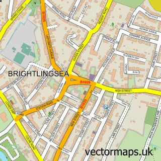
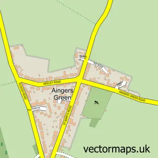
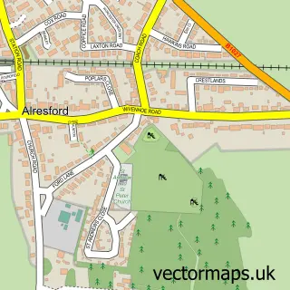
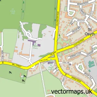
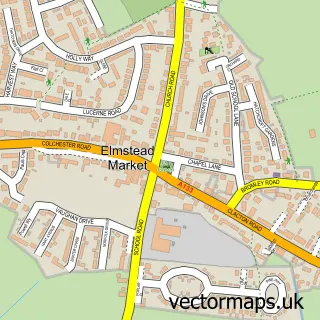
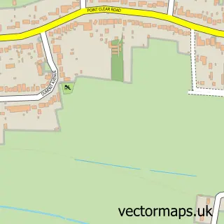
Nearby street map samples around Thorrington

More street maps in Essex
750 metre map area coverage
Boundary, postcode and point of interest information for the 750m x 750m rectangle centred on this sample map.
Boundaries containing map centre
Constituency: Harwich and North Essex Co Const
County: Essex County
District: Tendring District
Icb: NHS Essex ICB
Parish: Thorrington CP
Police Force: essex
Postcode District: CO7
Postcode Sector: CO7 8
Ward: Alresford & Elmstead Ward
Nearby boundaries intersecting sample
Postcode Sector: CO7 7
Postcode coverage
POI category counts
Shipping Center: 2
Beauty Salon: 1
British Restaurant: 1
Convenience Store: 1
Dance School: 1
Elementary School: 1
Financial Service: 1
Gastropub: 1
Jewelry Store: 1
Korean Grocery Store: 1
Sample points of interest
- The country girl beautician
- Johnny Mac's Plaice
- Premier Thorrington Convenience Store
- Thorrington Dance Academy
- Learning Academies Ltd.
- Alan Hill Financial Planning
- Red Lion
- Paper + Stone
- Premier
- Linda Mathers
- Caterpillars Baby & Toddler Group, Thorrington
- Rebecca Gurden Photography
Create a larger editable map of Thorrington
This sample shows only a 750 metre area. To create a larger map of Thorrington, use our map builder to choose your own coverage area, add titles and download editable SVG, PDF and PNG files.
Create a custom map of Thorrington