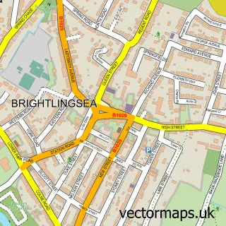
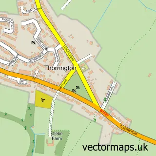
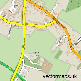
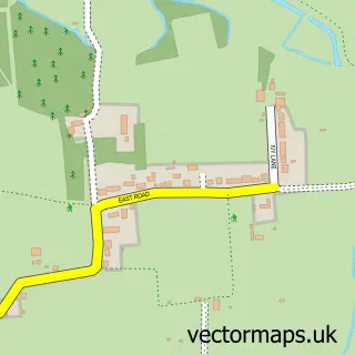
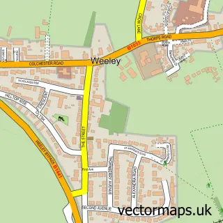
This St Osyth street map is a detailed vector street map covering a 750m x 750m area. Select a larger area to create and download your own vector street map of St Osyth.
The 750-metre map sample for St Osyth covers 318 mapped buildings and approximately 10.1 km of road detail, of which 21 named roads are named. The immediate area includes 1 school, 3 pubs and 1 MOT station within 2 miles. The wider area around St Osyth features 1 tourism point of interest, 6 food and drink venues and 3 campsites within 2 miles. To create a larger or custom map of St Osyth, the map builder lets you define your own coverage area and download editable SVG, PDF and PNG files.
Create a larger editable map of St Osyth
Choose any area you need and generate a high-quality vector map instantly. Perfect for print, planning, design, business and personal use.

This St Osyth street map in Essex is available as downloadable SVG, PDF and PNG map files, or as a printed map for planning, business, display, education, local information and design work. You can also create a larger custom map area using the map selector.
What this St Osyth map sample shows
St Osyth lies within St. Osyth Cp parish, part of St Osyth ward in the Tendring District local authority area. The postcode geography for this area includes the CO postcode area, the CO16 postcode district and the CO16 8 postcode sector. Residents fall under the Nhs Suffolk And North East Essex Integrated Care Board for NHS services.
Local features near St Osyth
Within 2 milesAmenities and services in and around St Osyth.
Administrative and postcode information for St Osyth
St Osyth lies within St. Osyth Cp parish, part of St Osyth ward in the Tendring District local authority area. The postcode geography for this area includes the CO postcode area, the CO16 postcode district and the CO16 8 postcode sector. Residents fall under the Nhs Suffolk And North East Essex Integrated Care Board for NHS services.
Nearby street map samples around St Osyth

More street maps in Essex
750 metre map area coverage
Boundary, postcode and point of interest information for the 750m x 750m rectangle centred on this sample map.
Boundaries containing map centre
Constituency: Clacton Co Const
County: Essex County
District: Tendring District
Icb: NHS Essex ICB
Parish: St. Osyth CP
Police Force: essex
Postcode District: CO16
Postcode Sector: CO16 8
Ward: St. Osyth Ward
Nearby boundaries intersecting sample
No additional intersecting boundaries found.
Postcode coverage
POI category counts
Convenience Store: 4
Indian Restaurant: 3
Pub: 3
Charity Organization: 2
Chinese Restaurant: 2
Church Cathedral: 2
Fish And Chips Restaurant: 2
Flowers And Gifts Shop: 2
Information Technology Company: 2
Pet Groomer: 2
Sample points of interest
- Ellacott Morris
- St Osyth: St Peter & St Paul
- Toosey Arts and Crafts
- Yaman Traditional Turkish Barber
- Glow Beauty & Tanning Bar
- Ohana botique
- Ecodraw
- St Osyth Butchers
- Jmac car sales
- The MOB Pizza and Bar
- Cards for Good Causes
- Greenland Grove Animal Sanctuary Charity Shop
Create a larger editable map of St Osyth
This sample shows only a 750 metre area. To create a larger map of St Osyth, use our map builder to choose your own coverage area, add titles and download editable SVG, PDF and PNG files.
Create a custom map of St Osyth