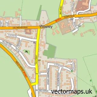
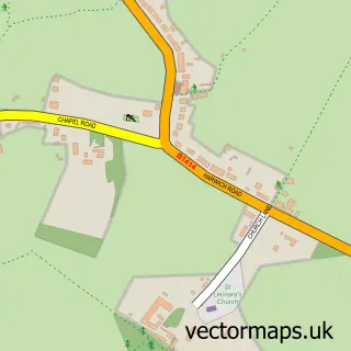
This Weeley Heath street map is a detailed vector street map covering a 750m x 750m area. Select a larger area to create and download your own vector street map of Weeley Heath.
The 750-metre map sample for Weeley Heath covers 270 mapped buildings and approximately 13.3 km of road detail, of which 10 named roads are named. The immediate area includes 1 GP surgery within 2 miles and 4 MOT stations within 2 miles. The wider area around Weeley Heath features 1 tourism point of interest. To create a larger or custom map of Weeley Heath, the map builder lets you define your own coverage area and download editable SVG, PDF and PNG files.
Create a larger editable map of Weeley Heath
Choose any area you need and generate a high-quality vector map instantly. Perfect for print, planning, design, business and personal use.

This Weeley Heath street map in Essex is available as downloadable SVG, PDF and PNG map files, or as a printed map for planning, business, display, education, local information and design work. You can also create a larger custom map area using the map selector.
What this Weeley Heath map sample shows
Weeley Heath lies within Weeley Cp parish, part of Weeley & Tendring ward in the Tendring District local authority area. The postcode geography for this area includes the CO postcode area, the CO16 postcode district and the CO16 9 postcode sector. Residents fall under the Nhs Suffolk And North East Essex Integrated Care Board for NHS services.
Local features near Weeley Heath
Within 2 milesAmenities and services in and around Weeley Heath.
Administrative and postcode information for Weeley Heath
The local authority covering Weeley Heath is Tendring District, within the county of Essex. The settlement lies within Weeley & Tendring ward and Weeley Cp civil parish. The CO16 postcode district and CO16 9 postcode sector serve the immediate area. NHS provision in the area is delivered through East Suffolk And North Essex Nhs Foundation Trust.
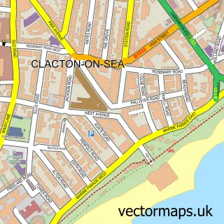
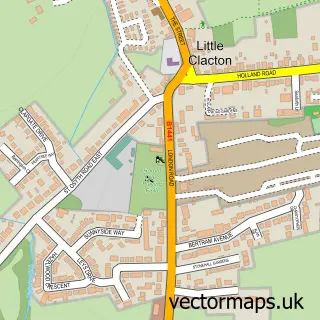
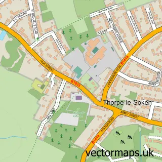
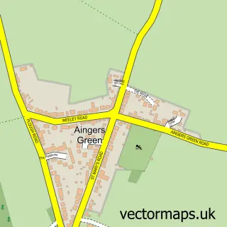
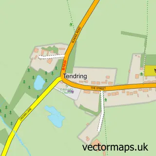
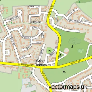
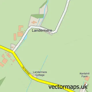
Nearby street map samples around Weeley Heath

More street maps in Essex
750 metre map area coverage
Boundary, postcode and point of interest information for the 750m x 750m rectangle centred on this sample map.
Boundaries containing map centre
Constituency: Clacton Co Const
County: Essex County
District: Tendring District
Icb: NHS Essex ICB
Parish: Weeley CP
Police Force: essex
Postcode District: CO16
Postcode Sector: CO16 9
Ward: Weeley & Tendring Ward
Nearby boundaries intersecting sample
Parish: St. Osyth CP
Ward: St. Osyth Ward
Postcode coverage
POI category counts
Assisted Living Facility: 2
Beauty Salon: 2
Mobile Home Dealer: 2
Accommodation: 1
Car Dealer: 1
Child Care And Day Care: 1
Contractor: 1
Day Care Preschool: 1
Fire Department: 1
Furniture Manufacturers: 1
Sample points of interest
- Oakleigh Park Homes
- Little Millfields
- TLC Care Homes
- Complete cryo aesthetics
- Tangles Unisex Hair Salon
- Full Throttle Car Sales
- K Gilliar
- Spong Builders & Contractors
- Kim's Kinders
- Weeley Fire Station
- Sunrise Holiday Homes Ltd.
- Weeley Heath
Create a larger editable map of Weeley Heath
This sample shows only a 750 metre area. To create a larger map of Weeley Heath, use our map builder to choose your own coverage area, add titles and download editable SVG, PDF and PNG files.
Create a custom map of Weeley Heath