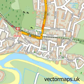
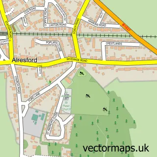
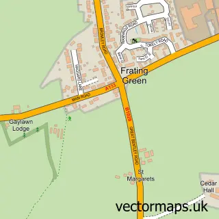
This Rowhedge street map is a detailed vector street map covering a 750m x 750m area. Select a larger area to create and download your own vector street map of Rowhedge.
The 750-metre map sample for Rowhedge covers 392 mapped buildings and approximately 12.0 km of road detail, of which 29 named roads are named. The immediate area includes 1 GP surgery, with 2 within 2 miles, 5 pubs and 10 MOT stations within 2 miles. The wider area around Rowhedge features 1 tourism point of interest and 7 food and drink venues. To create a larger or custom map of Rowhedge, the map builder lets you define your own coverage area and download editable SVG, PDF and PNG files.
Create a larger editable map of Rowhedge
Choose any area you need and generate a high-quality vector map instantly. Perfect for print, planning, design, business and personal use.

This Rowhedge street map in Essex is available as downloadable SVG, PDF and PNG map files, or as a printed map for planning, business, display, education, local information and design work. You can also create a larger custom map area using the map selector.
What this Rowhedge map sample shows
Rowhedge lies within East Donyland Cp parish, part of Old Heath And The Hythe ward in the Colchester District (B) local authority area. The postcode geography for this area includes the CO postcode area, the CO5 postcode district and the CO5 7 postcode sector. Residents fall under the Nhs Suffolk And North East Essex Integrated Care Board for NHS services.
Local features near Rowhedge
Within 2 milesAmenities and services in and around Rowhedge.
Administrative and postcode information for Rowhedge
Rowhedge lies within East Donyland Cp parish, part of Old Heath And The Hythe ward in the Colchester District (B) local authority area. The postcode geography for this area includes the CO postcode area, the CO5 postcode district and the CO5 7 postcode sector. Residents fall under the Nhs Suffolk And North East Essex Integrated Care Board for NHS services.
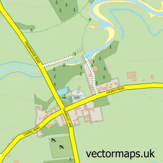
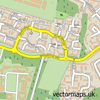
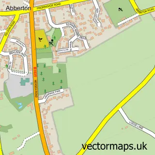
Nearby street map samples around Rowhedge

More street maps in Essex
750 metre map area coverage
Boundary, postcode and point of interest information for the 750m x 750m rectangle centred on this sample map.
Boundaries containing map centre
Constituency: Harwich and North Essex Co Const
County: Essex County
District: Colchester District (B)
Icb: NHS Essex ICB
Parish: East Donyland CP
Police Force: essex
Postcode District: CO5
Postcode Sector: CO5 7
Ward: Old Heath & The Hythe Ward
Nearby boundaries intersecting sample
Parish: Wivenhoe CP
Postcode District: CO7
Postcode Sector: CO7 9
Ward: Wivenhoe Ward
Postcode coverage
POI category counts
Pub: 5
Bakery: 2
Beauty Salon: 2
Charity Organization: 2
Church Cathedral: 2
Convenience Store: 2
Driving School: 2
It Service And Computer Repair: 2
Pet Groomer: 2
Property Management: 2
Sample points of interest
- East Donyland: St Lawrence
- Appliance Repair Colchester
- Dents and Scuffs
- Essex supras
- Bakes by Stanze
- Dannis Cakes
- Shorty’s Chop Shop
- Safade Hair & Beauty
- ibrows
- Colchester & Essex Roof Repairs
- Tool Bay Direct
- The Hut
Create a larger editable map of Rowhedge
This sample shows only a 750 metre area. To create a larger map of Rowhedge, use our map builder to choose your own coverage area, add titles and download editable SVG, PDF and PNG files.
Create a custom map of Rowhedge