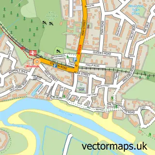
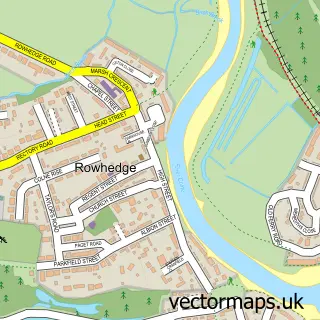
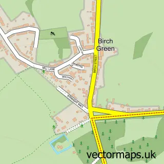
This Berechurch street map is a detailed vector street map covering a 750m x 750m area. Select a larger area to create and download your own vector street map of Berechurch.
The 750-metre map sample for Berechurch covers 405 mapped buildings and approximately 16.4 km of road detail, of which 34 named roads are named. The immediate area includes 3 GP surgeries within 2 miles and 19 MOT stations within 2 miles. The wider area around Berechurch features 2 tourism points of interest and 1 food and drink venue. To create a larger or custom map of Berechurch, the map builder lets you define your own coverage area and download editable SVG, PDF and PNG files.
Create a larger editable map of Berechurch
Choose any area you need and generate a high-quality vector map instantly. Perfect for print, planning, design, business and personal use.

This Berechurch street map in Essex is available as downloadable SVG, PDF and PNG map files, or as a printed map for planning, business, display, education, local information and design work. You can also create a larger custom map area using the map selector.
What this Berechurch map sample shows
Berechurch lies within Essex County parish, part of Berechurch ward in the Colchester District (B) local authority area. The postcode geography for this area includes the CO postcode area, the CO2 postcode district and the CO2 8 postcode sector. Residents fall under the Nhs Suffolk And North East Essex Integrated Care Board for NHS services.
Local features near Berechurch
Within 2 milesAmenities and services in and around Berechurch.
Administrative and postcode information for Berechurch
The local authority covering Berechurch is Colchester District (B), within the county of Essex. The settlement lies within Berechurch ward and Essex County civil parish. The CO2 postcode district and CO2 8 postcode sector serve the immediate area. NHS provision in the area is delivered through East Suffolk And North Essex Nhs Foundation Trust.
Nearby street map samples around Berechurch

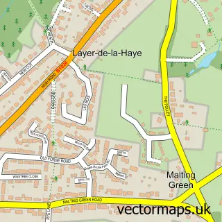
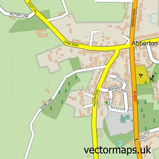
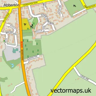
More street maps in Essex
750 metre map area coverage
Boundary, postcode and point of interest information for the 750m x 750m rectangle centred on this sample map.
Boundaries containing map centre
Constituency: Colchester Boro Const
County: Essex County
District: Colchester District (B)
Icb: NHS Essex ICB
Police Force: essex
Postcode District: CO2
Postcode Sector: CO2 9
Ward: Berechurch Ward
Nearby boundaries intersecting sample
Postcode Sector: CO2 0, CO2 8
Postcode coverage
POI category counts
Professional Services: 3
Barber: 2
Beauty Salon: 2
Home Service: 2
Plumbing: 2
Alternative Medicine: 1
Arts And Entertainment: 1
Attractions And Activities: 1
Auto Body Shop: 1
Automotive Repair: 1
Sample points of interest
- Brenda Seaborn Complementary Therapist
- Jammy Creative Studios
- Solus Wood
- M R Scuff Solutions
- Abberton Resevoir
- Tipple On Tow
- Berechurch Barbers
- Berechurch Barbers
- LD Hair Lounge
- Jemshair&beauty
- Radiance Beauty Colchester
- Lucinda's Cakes
Create a larger editable map of Berechurch
This sample shows only a 750 metre area. To create a larger map of Berechurch, use our map builder to choose your own coverage area, add titles and download editable SVG, PDF and PNG files.
Create a custom map of Berechurch