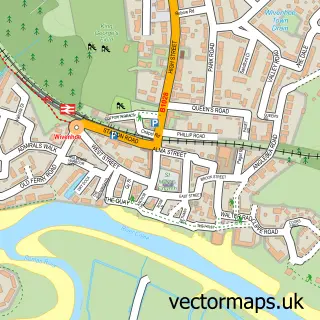
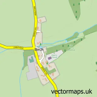
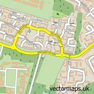
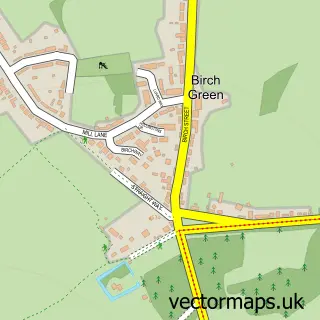
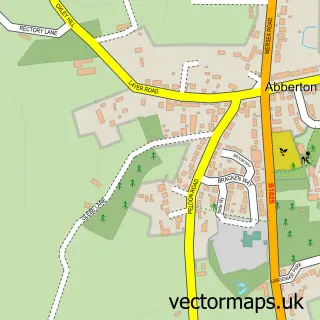
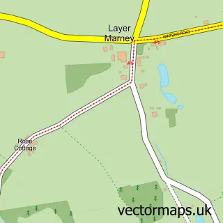
This Layer-de-la-Haye street map is a detailed vector street map covering a 750m x 750m area. Select a larger area to create and download your own vector street map of Layer-de-la-Haye.
The 750-metre map sample for Layer-de-la-Haye covers 404 mapped buildings and approximately 12.8 km of road detail, of which 21 named roads are named. The immediate area includes 2 MOT stations within 2 miles. To create a larger or custom map of Layer-de-la-Haye, the map builder lets you define your own coverage area and download editable SVG, PDF and PNG files.
Create a larger editable map of Layer-de-la-Haye
Choose any area you need and generate a high-quality vector map instantly. Perfect for print, planning, design, business and personal use.

This Layer-de-la-Haye street map in Essex is available as downloadable SVG, PDF and PNG map files, or as a printed map for planning, business, display, education, local information and design work. You can also create a larger custom map area using the map selector.
What this Layer-de-la-Haye map sample shows
Layer-de-la-Haye lies within Layer-De-La-Haye Cp parish, part of Marks Tey And Layer ward in the Colchester District (B) local authority area. The postcode geography for this area includes the CO postcode area, the CO2 postcode district and the CO2 0 postcode sector. Residents fall under the Nhs Suffolk And North East Essex Integrated Care Board for NHS services.
Local features near Layer-de-la-Haye
Within 2 milesAmenities and services in and around Layer-de-la-Haye.
Administrative and postcode information for Layer-de-la-Haye
The local authority covering Layer-de-la-Haye is Colchester District (B), within the county of Essex. The settlement lies within Marks Tey And Layer ward and Layer-De-La-Haye Cp civil parish. The CO2 postcode district and CO2 0 postcode sector serve the immediate area. NHS provision in the area is delivered through East Suffolk And North Essex Nhs Foundation Trust.
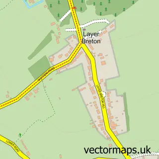
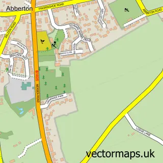
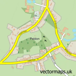
Nearby street map samples around Layer-de-la-Haye

More street maps in Essex
750 metre map area coverage
Boundary, postcode and point of interest information for the 750m x 750m rectangle centred on this sample map.
Boundaries containing map centre
Constituency: Witham Co Const
County: Essex County
District: Colchester District (B)
Icb: NHS Essex ICB
Parish: Layer-de-la-Haye CP
Police Force: essex
Postcode District: CO2
Postcode Sector: CO2 0
Ward: Marks Tey & Layer Ward
Nearby boundaries intersecting sample
No additional intersecting boundaries found.
Postcode coverage
POI category counts
Arts And Entertainment: 2
It Service And Computer Repair: 2
Active Life: 1
Bakery: 1
Beauty And Spa: 1
Building Supply Store: 1
Business Management Services: 1
Chimney Sweep: 1
Church Cathedral: 1
Convenience Store: 1
Sample points of interest
- Craigs Layer Boot Camp
- Book a Tribute
- Little Rabbit Barn Ardleigh Colchester
- Cakes & All
- Hair By Ells X
- Plane View Building Projects Ltd
- Essex Entertainment Agency
- Mr Roots Chimneys
- St John the Baptist's Parish Church
- Village Shop
- Lorraine Cookson Counselling
- Malting Green Surgery
Create a larger editable map of Layer-de-la-Haye
This sample shows only a 750 metre area. To create a larger map of Layer-de-la-Haye, use our map builder to choose your own coverage area, add titles and download editable SVG, PDF and PNG files.
Create a custom map of Layer-de-la-Haye