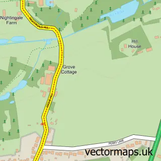
This Horkesley Heath street map is a detailed vector street map covering a 750m x 750m area. Select a larger area to create and download your own vector street map of Horkesley Heath.
The 750-metre map sample for Horkesley Heath covers 343 mapped buildings and approximately 10.7 km of road detail, of which 23 named roads are named. The immediate area includes 1 school, 2 GP surgeries within 2 miles and 6 MOT stations within 2 miles. The wider area around Horkesley Heath features 1 food and drink venue. To create a larger or custom map of Horkesley Heath, the map builder lets you define your own coverage area and download editable SVG, PDF and PNG files.
Create a larger editable map of Horkesley Heath
Choose any area you need and generate a high-quality vector map instantly. Perfect for print, planning, design, business and personal use.

This Horkesley Heath street map in Essex is available as downloadable SVG, PDF and PNG map files, or as a printed map for planning, business, display, education, local information and design work. You can also create a larger custom map area using the map selector.
What this Horkesley Heath map sample shows
Horkesley Heath lies within Great Horkesley Cp parish, part of Rural North ward in the Colchester District (B) local authority area. The postcode geography for this area includes the CO postcode area, the CO6 postcode district and the CO6 4 postcode sector. Residents fall under the Nhs Suffolk And North East Essex Integrated Care Board for NHS services.
Local features near Horkesley Heath
Within 2 milesAmenities and services in and around Horkesley Heath.
Administrative and postcode information for Horkesley Heath
Horkesley Heath lies within Great Horkesley Cp parish, part of Rural North ward in the Colchester District (B) local authority area. The postcode geography for this area includes the CO postcode area, the CO6 postcode district and the CO6 4 postcode sector. Residents fall under the Nhs Suffolk And North East Essex Integrated Care Board for NHS services.
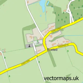
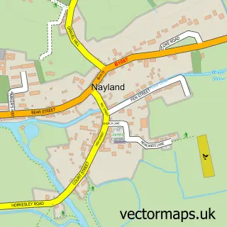
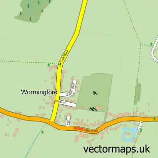
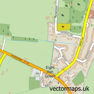
Nearby street map samples around Horkesley Heath

More street maps in Essex
750 metre map area coverage
Boundary, postcode and point of interest information for the 750m x 750m rectangle centred on this sample map.
Boundaries containing map centre
Constituency: Harwich and North Essex Co Const
County: Essex County
District: Colchester District (B)
Icb: NHS Essex ICB
Parish: Great Horkesley CP
Police Force: essex
Postcode District: CO6
Postcode Sector: CO6 4
Ward: Rural North Ward
Nearby boundaries intersecting sample
No additional intersecting boundaries found.
Postcode coverage
POI category counts
Advertising Agency: 2
Alternative Medicine: 1
Anglican Church: 1
Arts And Entertainment: 1
Assisted Living Facility: 1
Audiovisual Equipment Rental: 1
Beauty Salon: 1
Business Consulting: 1
Cafe: 1
Church Cathedral: 1
Sample points of interest
- Bliink Design
- Orwell Design
- Herbalife Distributor
- Great Horkesley: St. John's
- Horkesley Heath
- Kacee Lodge
- MJH Sound Design / MJH Creative Solutions Ltd.
- 2B beautiful
- Flare Fire Solutions
- Take a Break Cafe
- Freedom Church
- Great Horkesley Village Hall
Create a larger editable map of Horkesley Heath
This sample shows only a 750 metre area. To create a larger map of Horkesley Heath, use our map builder to choose your own coverage area, add titles and download editable SVG, PDF and PNG files.
Create a custom map of Horkesley Heath