This Dennington street map is a detailed vector street map covering a 750m x 750m area. Select a larger area to create and download your own vector street map of Dennington.
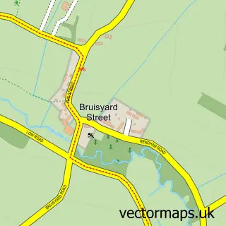
The 750-metre map sample for Dennington covers 136 mapped buildings and approximately 5.2 km of road detail, of which 4 named roads are named. The immediate area includes 1 school, 1 GP surgery within 2 miles and 1 pub. The wider area around Dennington features 2 food and drink venues. To create a larger or custom map of Dennington, the map builder lets you define your own coverage area and download editable SVG, PDF and PNG files.
Create a larger editable map of Dennington
Choose any area you need and generate a high-quality vector map instantly. Perfect for print, planning, design, business and personal use.

This Dennington street map in Suffolk is available as downloadable SVG, PDF and PNG map files, or as a printed map for planning, business, display, education, local information and design work. You can also create a larger custom map area using the map selector.
What this Dennington map sample shows
Dennington lies within Dennington Cp parish, part of Framlingham ward in the East Suffolk District local authority area. The postcode geography for this area includes the IP postcode area, the IP13 postcode district and the IP13 8 postcode sector. Residents fall under the Nhs Suffolk And North East Essex Integrated Care Board for NHS services.
Local features near Dennington
Within 2 milesAmenities and services in and around Dennington.
Administrative and postcode information for Dennington
Dennington lies within Dennington Cp parish, part of Framlingham ward in the East Suffolk District local authority area. The postcode geography for this area includes the IP postcode area, the IP13 postcode district and the IP13 8 postcode sector. Residents fall under the Nhs Suffolk And North East Essex Integrated Care Board for NHS services.
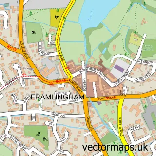
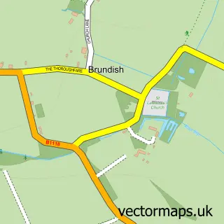
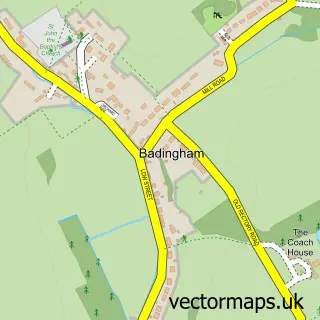
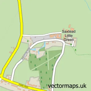
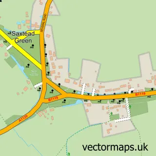
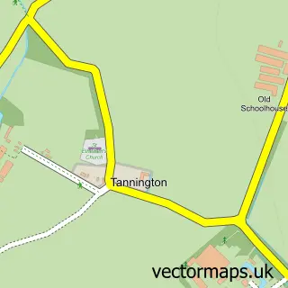
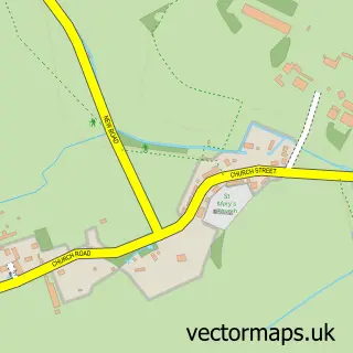
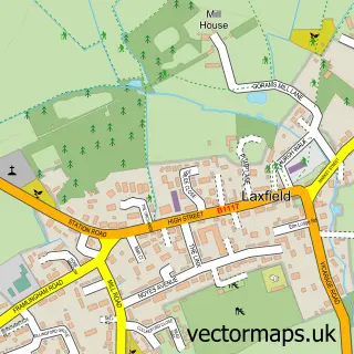
Nearby street map samples around Dennington

More street maps in Suffolk
750 metre map area coverage
Boundary, postcode and point of interest information for the 750m x 750m rectangle centred on this sample map.
Boundaries containing map centre
Constituency: Central Suffolk and North Ipswich Co Const
County: Suffolk County
District: East Suffolk District
Icb: NHS Essex ICB
Parish: Dennington CP
Police Force: suffolk
Postcode District: IP13
Postcode Sector: IP13 8
Ward: Framlingham Ward
Nearby boundaries intersecting sample
Postcode Sector: IP13 9
Postcode coverage
POI category counts
Anglican Church: 1
Audiovisual Equipment Rental: 1
Cafe: 1
Church Cathedral: 1
Education: 1
Elementary School: 1
Interior Design: 1
It Service And Computer Repair: 1
Jewelry Store: 1
Medical Center: 1
Sample points of interest
- Dennington, St Mary the Virgin
- Premier Toilet Hire Ltd.
- The Neathouse
- St Mary's Church
- Suffolk County Council
- Dennington Primary School
- Wallace and Lennox Interiors
- Bonnie Software
- The Suffolk Crafter
- Foot Care by Victoria
- Little Oaks Playschool
- The Dennington Queen
Create a larger editable map of Dennington
This sample shows only a 750 metre area. To create a larger map of Dennington, use our map builder to choose your own coverage area, add titles and download editable SVG, PDF and PNG files.
Create a custom map of Dennington