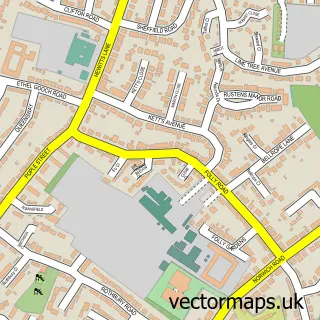
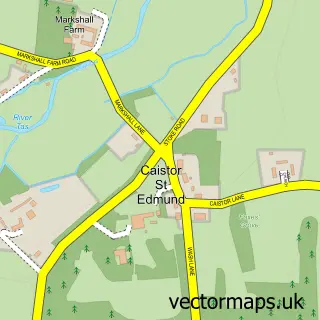
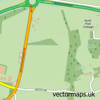
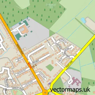
This Norwich street map is a detailed vector street map covering a 750m x 750m area. Select a larger area to create and download your own vector street map of Norwich.
The 750-metre map sample for Norwich covers 206 mapped buildings and approximately 23.9 km of road detail, of which 69 named roads are named. The immediate area includes 2 schools, 12 GP surgeries within 2 miles, 28 pubs and 45 MOT stations within 2 miles. The wider area around Norwich features 23 tourism points of interest, 149 food and drink venues and 5 hotels. To create a larger or custom map of Norwich, the map builder lets you define your own coverage area and download editable SVG, PDF and PNG files.
Create a larger editable map of Norwich
Choose any area you need and generate a high-quality vector map instantly. Perfect for print, planning, design, business and personal use.

This Norwich street map in Norfolk is available as downloadable SVG, PDF and PNG map files, or as a printed map for planning, business, display, education, local information and design work. You can also create a larger custom map area using the map selector.
What this Norwich map sample shows
Norwich lies within Norfolk County parish, part of Town Close ward in the Norwich District (B) local authority area. The postcode geography for this area includes the NR postcode area, the NR2 postcode district and the NR2 2 postcode sector. Residents fall under the Nhs Norfolk And Waveney Integrated Care Board for NHS services.
Local features near Norwich
Within 2 milesAmenities and services in and around Norwich.
Administrative and postcode information for Norwich
The local authority covering Norwich is Norwich District (B), within the county of Norfolk. The settlement lies within Town Close ward and Norfolk County civil parish. The NR2 postcode district and NR2 2 postcode sector serve the immediate area. NHS provision in the area is delivered through Norfolk And Norwich University Hospitals Nhs Foundation Trust.
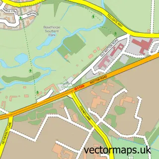
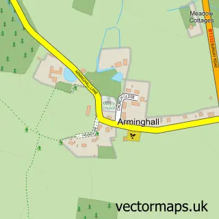
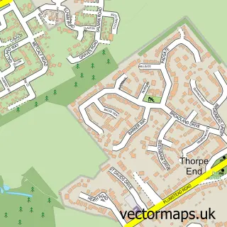
Nearby street map samples around Norwich
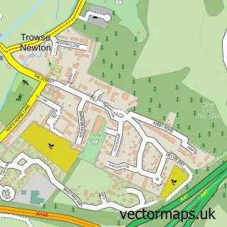
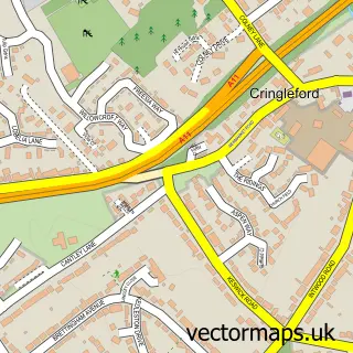
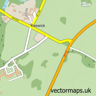
More street maps in Norfolk
750 metre map area coverage
Boundary, postcode and point of interest information for the 750m x 750m rectangle centred on this sample map.
Boundaries containing map centre
Constituency: Norwich South Boro Const
County: Norfolk County
District: Norwich District (B)
Icb: NHS Norfolk and Waveney ICB
Police Force: norfolk
Postcode District: NR2
Postcode Sector: NR2 1
Ward: Mancroft Ward
Nearby boundaries intersecting sample
Postcode District: NR1, NR3
Postcode Sector: NR1 1, NR1 3, NR2 2, NR2 4, NR3 1, NR3 3
Ward: Thorpe Hamlet Ward, Town Close Ward
Postcode coverage
POI category counts
Clothing Store: 80
Beauty Salon: 56
Hair Salon: 53
Jewelry Store: 53
Cafe: 44
Professional Services: 41
Coffee Shop: 39
Restaurant: 38
Shoe Store: 36
Employment Agencies: 32
Sample points of interest
- Merry Hill Park
- Larking Gowen
- Pursuit Bait
- Run Norwich
- Acupuncture Norwich
- Alan Longcroft Comprehensive Chinese Medicine
- Elemental Balance - Auricular (Ear) Acupuncture
- Kate McDougall Acupuncture
- Simply Therapy
- Connexions
- Special Needs Enterprises
- Platinum Lace
Create a larger editable map of Norwich
This sample shows only a 750 metre area. To create a larger map of Norwich, use our map builder to choose your own coverage area, add titles and download editable SVG, PDF and PNG files.
Create a custom map of Norwich