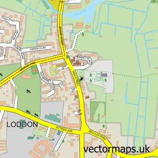
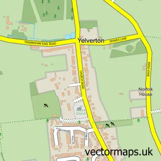
This Arminghall street map is a detailed vector street map covering a 750m x 750m area. Select a larger area to create and download your own vector street map of Arminghall.
The 750-metre map sample for Arminghall covers 48 mapped buildings and approximately 7.1 km of road detail, of which 4 named roads are named. The immediate area includes 2 GP surgeries within 2 miles and 6 MOT stations within 2 miles. The wider area around Arminghall features 1 campsite within 2 miles. To create a larger or custom map of Arminghall, the map builder lets you define your own coverage area and download editable SVG, PDF and PNG files.
Create a larger editable map of Arminghall
Choose any area you need and generate a high-quality vector map instantly. Perfect for print, planning, design, business and personal use.

This Arminghall street map in Norfolk is available as downloadable SVG, PDF and PNG map files, or as a printed map for planning, business, display, education, local information and design work. You can also create a larger custom map area using the map selector.
What this Arminghall map sample shows
Arminghall lies within Caistor St. Edmund And Bixley Cp parish, part of Poringland, Framinghams & Trowse ward in the South Norfolk District local authority area. The postcode geography for this area includes the NR postcode area, the NR14 postcode district and the NR14 8 postcode sector. Residents fall under the Nhs Norfolk And Waveney Integrated Care Board for NHS services.
Local features near Arminghall
Within 2 milesAmenities and services in and around Arminghall.
Administrative and postcode information for Arminghall
Arminghall lies within Caistor St. Edmund And Bixley Cp parish, part of Poringland, Framinghams & Trowse ward in the South Norfolk District local authority area. The postcode geography for this area includes the NR postcode area, the NR14 postcode district and the NR14 8 postcode sector. Residents fall under the Nhs Norfolk And Waveney Integrated Care Board for NHS services.
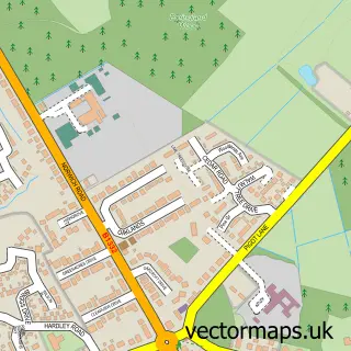
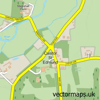
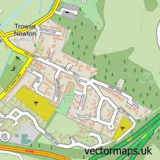
Nearby street map samples around Arminghall

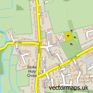
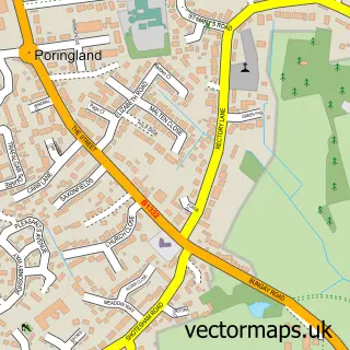
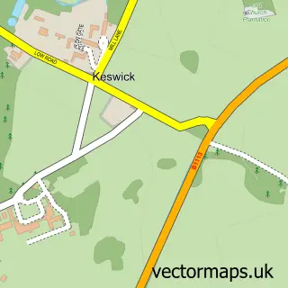
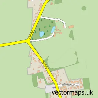
More street maps in Norfolk
750 metre map area coverage
Boundary, postcode and point of interest information for the 750m x 750m rectangle centred on this sample map.
Boundaries containing map centre
Constituency: South Norfolk Co Const
County: Norfolk County
District: South Norfolk District
Icb: NHS Norfolk and Waveney ICB
Parish: Caistor St. Edmund and Bixley CP
Police Force: norfolk
Postcode District: NR14
Postcode Sector: NR14 8
Ward: Poringland, Framinghams & Trowse Ward
Nearby boundaries intersecting sample
No additional intersecting boundaries found.
Postcode coverage
POI category counts
Anglican Church: 1
Automotive Repair: 1
Building Supply Store: 1
Farm: 1
Home Improvement Store: 1
Sample points of interest
- Arminghall: St Mary
- JBA Motors
- Wilki Engineering
- Manor Farm Barn
- B&L Developments
Create a larger editable map of Arminghall
This sample shows only a 750 metre area. To create a larger map of Arminghall, use our map builder to choose your own coverage area, add titles and download editable SVG, PDF and PNG files.
Create a custom map of Arminghall