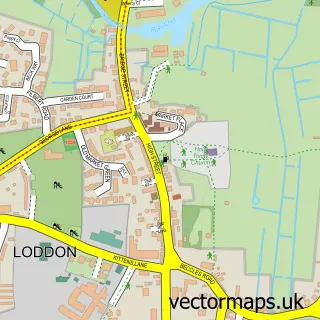
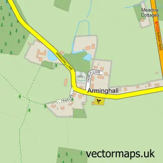
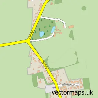
This Poringland street map is a detailed vector street map covering a 750m x 750m area. Select a larger area to create and download your own vector street map of Poringland.
The 750-metre map sample for Poringland covers 483 mapped buildings and approximately 15.5 km of road detail, of which 31 named roads are named. The immediate area includes 1 school, 2 GP surgeries within 2 miles and 4 MOT stations within 2 miles. The wider area around Poringland features 2 food and drink venues. To create a larger or custom map of Poringland, the map builder lets you define your own coverage area and download editable SVG, PDF and PNG files.
Create a larger editable map of Poringland
Choose any area you need and generate a high-quality vector map instantly. Perfect for print, planning, design, business and personal use.

This Poringland street map in Norfolk is available as downloadable SVG, PDF and PNG map files, or as a printed map for planning, business, display, education, local information and design work. You can also create a larger custom map area using the map selector.
What this Poringland map sample shows
Poringland lies within Poringland Cp parish, part of Poringland, Framinghams & Trowse ward in the South Norfolk District local authority area. The postcode geography for this area includes the NR postcode area, the NR14 postcode district and the NR14 7 postcode sector. Residents fall under the Nhs Norfolk And Waveney Integrated Care Board for NHS services.
Local features near Poringland
Within 2 milesAmenities and services in and around Poringland.
Administrative and postcode information for Poringland
The local authority covering Poringland is South Norfolk District, within the county of Norfolk. The settlement lies within Poringland, Framinghams & Trowse ward and Poringland Cp civil parish. The NR14 postcode district and NR14 7 postcode sector serve the immediate area. NHS provision in the area is delivered through Norfolk And Norwich University Hospitals Nhs Foundation Trust.
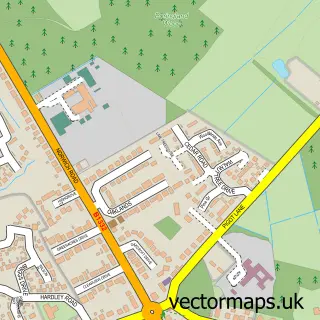
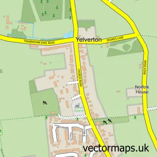
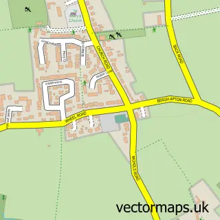
Nearby street map samples around Poringland

More street maps in Norfolk
750 metre map area coverage
Boundary, postcode and point of interest information for the 750m x 750m rectangle centred on this sample map.
Boundaries containing map centre
Constituency: South Norfolk Co Const
County: Norfolk County
District: South Norfolk District
Icb: NHS Norfolk and Waveney ICB
Parish: Poringland CP
Police Force: norfolk
Postcode District: NR14
Postcode Sector: NR14 7
Ward: Poringland, Framinghams & Trowse Ward
Nearby boundaries intersecting sample
No additional intersecting boundaries found.
Postcode coverage
POI category counts
Real Estate Agent: 3
Beauty Salon: 2
Church Cathedral: 2
Convenience Store: 2
Courier And Delivery Services: 2
Funeral Services And Cemeteries: 2
Accountant: 1
Beach: 1
Building Supply Store: 1
Business Brokers: 1
Sample points of interest
- NJF Accounts
- Happisburgh Beach
- Eden Beauty Poringland
- VIP Beauty Clinic
- Darren's Drain
- Boon Brokers
- Win Lee
- Key Chiropractic
- All Saints Church Poringland
- Poringland Parish Church
- Wow Window Clean
- Get Treated
Create a larger editable map of Poringland
This sample shows only a 750 metre area. To create a larger map of Poringland, use our map builder to choose your own coverage area, add titles and download editable SVG, PDF and PNG files.
Create a custom map of Poringland