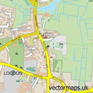
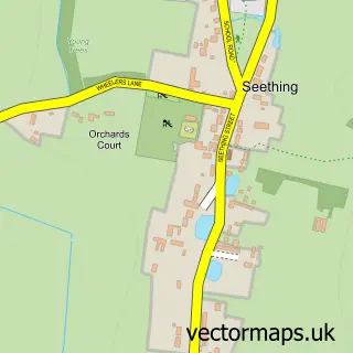
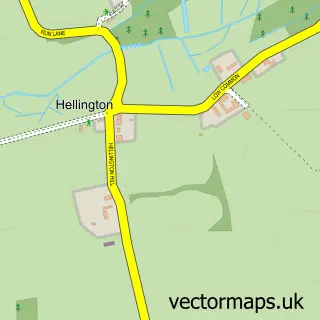
This Brooke street map is a detailed vector street map covering a 750m x 750m area. Select a larger area to create and download your own vector street map of Brooke.
The 750-metre map sample for Brooke covers 183 mapped buildings and approximately 6.9 km of road detail, of which 8 named roads are named. The immediate area includes 1 pub and 2 MOT stations within 2 miles. The wider area around Brooke features 1 food and drink venue. To create a larger or custom map of Brooke, the map builder lets you define your own coverage area and download editable SVG, PDF and PNG files.
Create a larger editable map of Brooke
Choose any area you need and generate a high-quality vector map instantly. Perfect for print, planning, design, business and personal use.

This Brooke street map in Norfolk is available as downloadable SVG, PDF and PNG map files, or as a printed map for planning, business, display, education, local information and design work. You can also create a larger custom map area using the map selector.
What this Brooke map sample shows
Brooke lies within Brooke Cp parish, part of Brooke ward in the South Norfolk District local authority area. The postcode geography for this area includes the NR postcode area, the NR15 postcode district and the NR15 1 postcode sector. Residents fall under the Nhs Norfolk And Waveney Integrated Care Board for NHS services.
Local features near Brooke
Within 2 milesAmenities and services in and around Brooke.
Administrative and postcode information for Brooke
Brooke lies within Brooke Cp parish, part of Brooke ward in the South Norfolk District local authority area. The postcode geography for this area includes the NR postcode area, the NR15 postcode district and the NR15 1 postcode sector. Residents fall under the Nhs Norfolk And Waveney Integrated Care Board for NHS services.
Nearby street map samples around Brooke

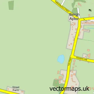
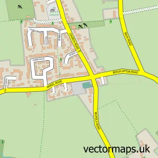
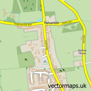
More street maps in Norfolk
750 metre map area coverage
Boundary, postcode and point of interest information for the 750m x 750m rectangle centred on this sample map.
Boundaries containing map centre
Constituency: South Norfolk Co Const
County: Norfolk County
District: South Norfolk District
Icb: NHS Norfolk and Waveney ICB
Parish: Brooke CP
Police Force: norfolk
Postcode District: NR15
Postcode Sector: NR15 1
Ward: Brooke Ward
Nearby boundaries intersecting sample
Parish: Kirstead CP
Postcode coverage
POI category counts
Counseling And Mental Health: 2
Anglican Church: 1
Automotive Repair: 1
Beauty Salon: 1
Gardener: 1
Ice Cream Shop: 1
Landscape Architect: 1
Party Supply: 1
Personal Care Service: 1
Professional Services: 1
Sample points of interest
- Brooke: St Peter's
- Restoria Classics LTD
- Eleve11
- Keith Travis Hypnotherapy
- Sally Travis counselling and emdr Brooke
- Gardens Green
- TFI Thai Fried Ice Cream
- Samantha Mckay
- VW Photo Booth
- Vintage Car And Camper Hire
- Fran Given Photography
- The White Lion
Create a larger editable map of Brooke
This sample shows only a 750 metre area. To create a larger map of Brooke, use our map builder to choose your own coverage area, add titles and download editable SVG, PDF and PNG files.
Create a custom map of Brooke