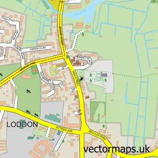
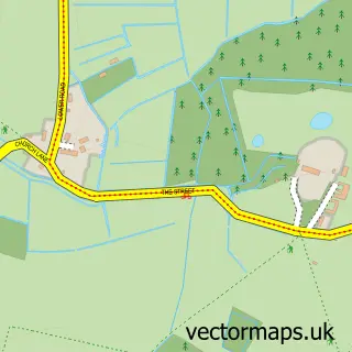
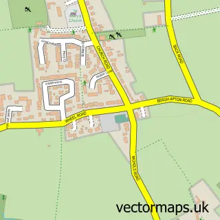
This Thurton street map is a detailed vector street map covering a 750m x 750m area. Select a larger area to create and download your own vector street map of Thurton.
The 750-metre map sample for Thurton covers 212 mapped buildings and approximately 9.1 km of road detail, of which 13 named roads are named. The immediate area includes 1 school and 1 pub. The wider area around Thurton features 2 food and drink venues. To create a larger or custom map of Thurton, the map builder lets you define your own coverage area and download editable SVG, PDF and PNG files.
Create a larger editable map of Thurton
Choose any area you need and generate a high-quality vector map instantly. Perfect for print, planning, design, business and personal use.

This Thurton street map in Norfolk is available as downloadable SVG, PDF and PNG map files, or as a printed map for planning, business, display, education, local information and design work. You can also create a larger custom map area using the map selector.
What this Thurton map sample shows
Thurton lies within Thurton Cp parish, part of Rockland ward in the South Norfolk District local authority area. The postcode geography for this area includes the NR postcode area, the NR14 postcode district and the NR14 6 postcode sector. Residents fall under the Nhs Norfolk And Waveney Integrated Care Board for NHS services.
Local features near Thurton
Within 2 milesAmenities and services in and around Thurton.
Administrative and postcode information for Thurton
Thurton lies within Thurton Cp parish, part of Rockland ward in the South Norfolk District local authority area. The postcode geography for this area includes the NR postcode area, the NR14 postcode district and the NR14 6 postcode sector. Residents fall under the Nhs Norfolk And Waveney Integrated Care Board for NHS services.
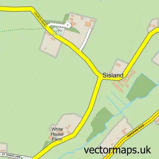
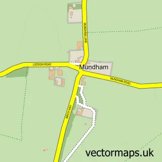
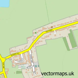
Nearby street map samples around Thurton

More street maps in Norfolk
750 metre map area coverage
Boundary, postcode and point of interest information for the 750m x 750m rectangle centred on this sample map.
Boundaries containing map centre
Constituency: South Norfolk Co Const
County: Norfolk County
District: South Norfolk District
Icb: NHS Norfolk and Waveney ICB
Parish: Thurton CP
Police Force: norfolk
Postcode District: NR14
Postcode Sector: NR14 6
Ward: Rockland Ward
Nearby boundaries intersecting sample
Parish: Ashby St. Mary CP
Postcode District: NR15
Postcode Sector: NR14 7, NR15 1
Postcode coverage
POI category counts
Automotive Repair: 1
Automotive Services And Repair: 1
Bar: 1
Caterer: 1
Education: 1
Elementary School: 1
Fitness Trainer: 1
Lodge: 1
Motorsport Vehicle Dealer: 1
Preschool: 1
Sample points of interest
- Thurton Autojumble & Classic Car Show - Sunday 24th May, 2026
- Thurton Auto Centre
- Thurton George & Dragon
- Adrian Clarke Catering
- Simon Dring Rhythm Professional
- Thurton Primary School
- TRIXtra Swim Bike Run
- Dragon's Den Glamping
- Tradervan
- The Tiffin Day Nursery & Pre-School
- George and Dragon
- The Chuck Stop
Create a larger editable map of Thurton
This sample shows only a 750 metre area. To create a larger map of Thurton, use our map builder to choose your own coverage area, add titles and download editable SVG, PDF and PNG files.
Create a custom map of Thurton