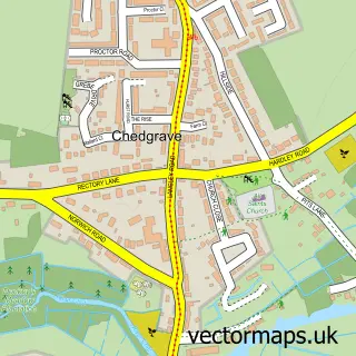
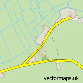
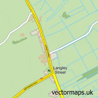
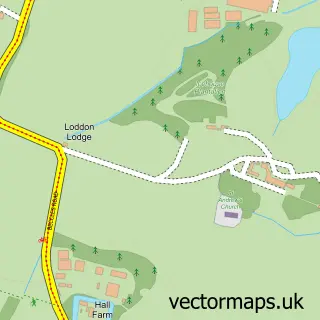
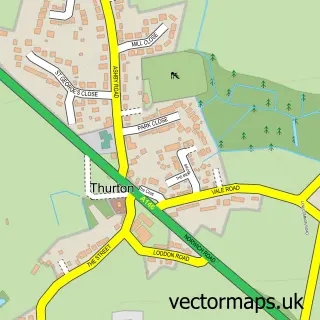
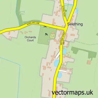
This Loddon street map is a detailed vector street map covering a 750m x 750m area. Select a larger area to create and download your own vector street map of Loddon.
The 750-metre map sample for Loddon covers 265 mapped buildings and approximately 8.8 km of road detail, of which 24 named roads are named. The immediate area includes 1 school, 1 GP surgery within 2 miles, 4 pubs and 2 MOT stations within 2 miles. The wider area around Loddon features 2 tourism points of interest and 7 food and drink venues. To create a larger or custom map of Loddon, the map builder lets you define your own coverage area and download editable SVG, PDF and PNG files.
Create a larger editable map of Loddon
Choose any area you need and generate a high-quality vector map instantly. Perfect for print, planning, design, business and personal use.

This Loddon street map in Norfolk is available as downloadable SVG, PDF and PNG map files, or as a printed map for planning, business, display, education, local information and design work. You can also create a larger custom map area using the map selector.
What this Loddon map sample shows
Loddon lies within Loddon Cp parish, part of Loddon & Chedgrave ward in the South Norfolk District local authority area. The postcode geography for this area includes the NR postcode area, the NR14 postcode district and the NR14 6 postcode sector. Residents fall under the Nhs Norfolk And Waveney Integrated Care Board for NHS services.
Local features near Loddon
Within 2 milesAmenities and services in and around Loddon.
Administrative and postcode information for Loddon
Loddon lies within Loddon Cp parish, part of Loddon & Chedgrave ward in the South Norfolk District local authority area. The postcode geography for this area includes the NR postcode area, the NR14 postcode district and the NR14 6 postcode sector. Residents fall under the Nhs Norfolk And Waveney Integrated Care Board for NHS services.
Nearby street map samples around Loddon

More street maps in Norfolk
750 metre map area coverage
Boundary, postcode and point of interest information for the 750m x 750m rectangle centred on this sample map.
Boundaries containing map centre
Constituency: South Norfolk Co Const
County: Norfolk County
District: South Norfolk District
Icb: NHS Norfolk and Waveney ICB
Parish: Loddon CP
Police Force: norfolk
Postcode District: NR14
Postcode Sector: NR14 6
Ward: Loddon & Chedgrave Ward
Nearby boundaries intersecting sample
Parish: Chedgrave CP
Postcode coverage
POI category counts
Convenience Store: 5
Pub: 4
Church Cathedral: 3
Airport Shuttles: 2
Boat Service And Repair: 2
Education: 2
Hair Salon: 2
Indian Restaurant: 2
Pharmacy: 2
Restaurant: 2
Sample points of interest
- Run2
- East Anglian Airport Transfers
- East Anglian Airport Transfers
- Loddon Mill Well Being Centre
- Loddon
- A J Ward Butchers
- LBR Architecture
- Anns Craft
- Happy Buddha
- Saxon House
- Central England Co-Op - Loddon
- Loddon bodyshop
Create a larger editable map of Loddon
This sample shows only a 750 metre area. To create a larger map of Loddon, use our map builder to choose your own coverage area, add titles and download editable SVG, PDF and PNG files.
Create a custom map of Loddon