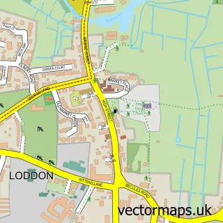
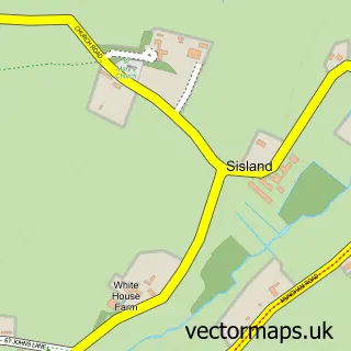
This Hales street map is a detailed vector street map covering a 750m x 750m area. Select a larger area to create and download your own vector street map of Hales.
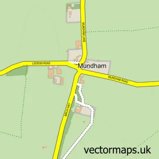
The 750-metre map sample for Hales covers 216 mapped buildings and approximately 11.3 km of road detail, of which 10 named roads are named. The immediate area includes 1 GP surgery within 2 miles and 2 MOT stations within 2 miles. The wider area around Hales features 1 food and drink venue. To create a larger or custom map of Hales, the map builder lets you define your own coverage area and download editable SVG, PDF and PNG files.
Create a larger editable map of Hales
Choose any area you need and generate a high-quality vector map instantly. Perfect for print, planning, design, business and personal use.

This Hales street map in Norfolk is available as downloadable SVG, PDF and PNG map files, or as a printed map for planning, business, display, education, local information and design work. You can also create a larger custom map area using the map selector.
What this Hales map sample shows
Hales lies within Hales Cp parish, part of Loddon & Chedgrave ward in the South Norfolk District local authority area. The postcode geography for this area includes the NR postcode area, the NR14 postcode district and the NR14 6 postcode sector. Residents fall under the Nhs Norfolk And Waveney Integrated Care Board for NHS services.
Local features near Hales
Within 2 milesAmenities and services in and around Hales.
Administrative and postcode information for Hales
Hales lies within Hales Cp parish, part of Loddon & Chedgrave ward in the South Norfolk District local authority area. The postcode geography for this area includes the NR postcode area, the NR14 postcode district and the NR14 6 postcode sector. Residents fall under the Nhs Norfolk And Waveney Integrated Care Board for NHS services.
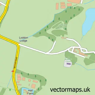
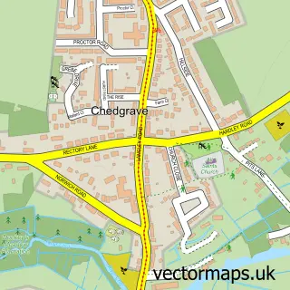
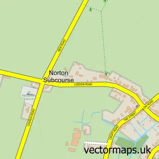
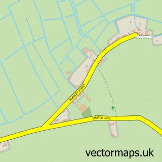
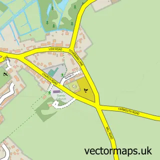
Nearby street map samples around Hales

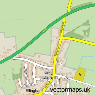
More street maps in Norfolk
750 metre map area coverage
Boundary, postcode and point of interest information for the 750m x 750m rectangle centred on this sample map.
Boundaries containing map centre
Constituency: South Norfolk Co Const
County: Norfolk County
District: South Norfolk District
Icb: NHS Norfolk and Waveney ICB
Parish: Hales CP
Police Force: norfolk
Postcode District: NR14
Postcode Sector: NR14 6
Ward: Loddon & Chedgrave Ward
Nearby boundaries intersecting sample
Parish: Heckingham CP
Postcode coverage
POI category counts
Gas Station: 4
Mobility Equipment Services: 3
Event Technology Service: 2
Atms: 1
Caterer: 1
Coffee Shop: 1
Convenience Store: 1
Courier And Delivery Services: 1
Cupcake Shop: 1
Indian Restaurant: 1
Sample points of interest
- Hales Service Station
- Bay and Fig Events
- Costa Express
- Costcutter
- Evri ParcelShop
- Dani Bakes & Creates
- Anglia Marquees
- TJK Castles, Bouncy Castle Hire
- B P Service Station Hales Service Station
- BP
- Shell
- bp
Create a larger editable map of Hales
This sample shows only a 750 metre area. To create a larger map of Hales, use our map builder to choose your own coverage area, add titles and download editable SVG, PDF and PNG files.
Create a custom map of Hales