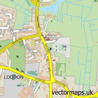
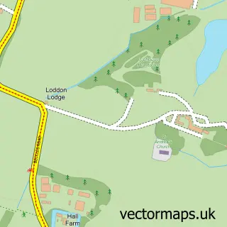
This Chedgrave street map is a detailed vector street map covering a 750m x 750m area. Select a larger area to create and download your own vector street map of Chedgrave.
The 750-metre map sample for Chedgrave covers 314 mapped buildings and approximately 11.3 km of road detail, of which 20 named roads are named. The immediate area includes 1 GP surgery within 2 miles, 1 pub and 1 MOT station, with 2 within 2 miles. The wider area around Chedgrave features 1 tourism point of interest and 1 food and drink venue. To create a larger or custom map of Chedgrave, the map builder lets you define your own coverage area and download editable SVG, PDF and PNG files.
Create a larger editable map of Chedgrave
Choose any area you need and generate a high-quality vector map instantly. Perfect for print, planning, design, business and personal use.

This Chedgrave street map in Norfolk is available as downloadable SVG, PDF and PNG map files, or as a printed map for planning, business, display, education, local information and design work. You can also create a larger custom map area using the map selector.
What this Chedgrave map sample shows
Chedgrave lies within Chedgrave Cp parish, part of Loddon & Chedgrave ward in the South Norfolk District local authority area. The postcode geography for this area includes the NR postcode area, the NR14 postcode district and the NR14 6 postcode sector. Residents fall under the Nhs Norfolk And Waveney Integrated Care Board for NHS services.
Local features near Chedgrave
Within 2 milesAmenities and services in and around Chedgrave.
Administrative and postcode information for Chedgrave
The local authority covering Chedgrave is South Norfolk District, within the county of Norfolk. The settlement lies within Loddon & Chedgrave ward and Chedgrave Cp civil parish. The NR14 postcode district and NR14 6 postcode sector serve the immediate area. NHS provision in the area is delivered through Norfolk And Norwich University Hospitals Nhs Foundation Trust.
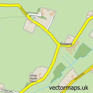
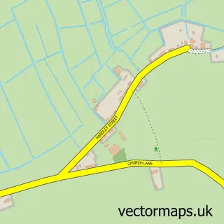
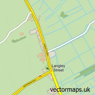
Nearby street map samples around Chedgrave

More street maps in Norfolk
750 metre map area coverage
Boundary, postcode and point of interest information for the 750m x 750m rectangle centred on this sample map.
Boundaries containing map centre
Constituency: South Norfolk Co Const
County: Norfolk County
District: South Norfolk District
Icb: NHS Norfolk and Waveney ICB
Parish: Chedgrave CP
Police Force: norfolk
Postcode District: NR14
Postcode Sector: NR14 6
Ward: Loddon & Chedgrave Ward
Nearby boundaries intersecting sample
Parish: Loddon CP
Postcode coverage
POI category counts
Boat Rental And Training: 3
Automotive Repair: 2
Building Supply Store: 2
Specialty School: 2
Accountant: 1
Active Life: 1
Advertising Agency: 1
Amusement Park: 1
Anglican Church: 1
Automotive: 1
Sample points of interest
- Ilott Accountancy & Bookkeeping
- Hardley r/c
- Prism Print & Promotions
- White House Farm Equestrian
- Chedgrave: All Saints
- Autotechnic
- LRP Automotive
- Scarlett Auto Services
- Pacific Cruisers
- Pacific Cruisers
- The Barrowboat Company
- Greenway Marine Ltd
Create a larger editable map of Chedgrave
This sample shows only a 750 metre area. To create a larger map of Chedgrave, use our map builder to choose your own coverage area, add titles and download editable SVG, PDF and PNG files.
Create a custom map of Chedgrave